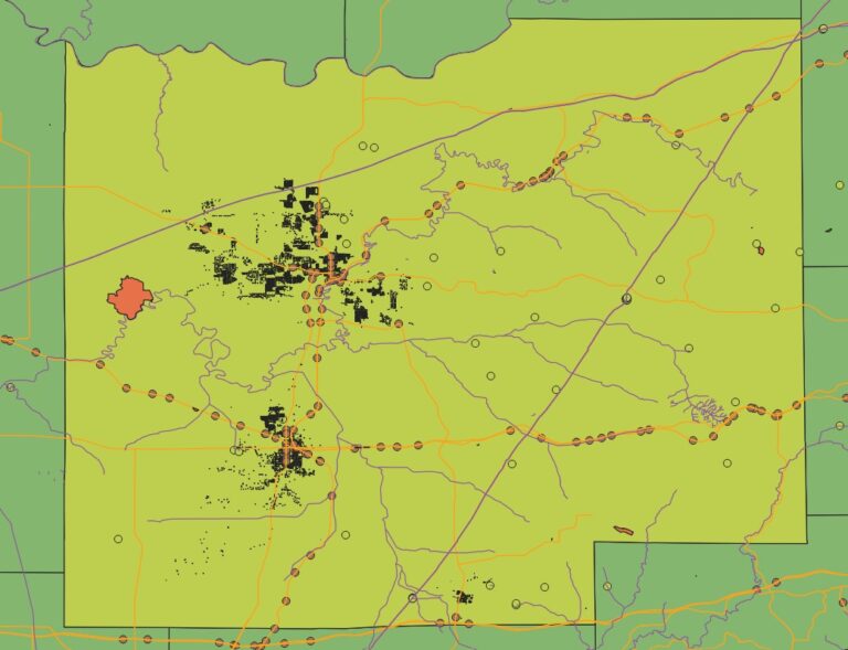
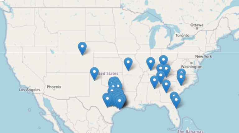
catawba county gis zoning information

Catawba County GIS DATA

The Catawba County GIS portal offers a wide range of mapping and property data. This includes real estate maps, reports, and analysis. It’s key for catawba county gis and gis mapping, and it includes property data1. Users can access different types of data with catawba county gis. This includes Restaurant & Lodging Inspection Scores, 2ft…

Texas County Map

Texas County Map Download 2024 – Free USA Maps

Exploring Texas is now easier with the Texas County Map. It shows all 254 counties of the state. This map is great for students, business people, and travelers. The map covers the whole state. It shows counties, their borders, and key cities and landmarks. It’s perfect for anyone wanting to know Texas better. Key Takeaways…

Atlanta zip code Map

New Atlanta Zip Code Map Districts Postal Areas

Exploring Atlanta can be tough, especially with its complex postal code system. The Atlanta zip code map is key for everyone. It shows the city’s postal areas and the different neighborhoods they cover. This article dives into Atlanta’s zip code system. We’ll look at its history, structure, and why it matters. Knowing about Atlanta’s zip…

GIS for Solid Waste Management

GIS for Solid Waste Management

In the world of urban planning and city operations, Geographic Information Systems (GIS) play a key role. They help make solid waste management more efficient and sustainable. Cities face big challenges in waste collection, disposal, and analysis. GIS technology is a powerful tool to help solve these problems. GIS offers a detailed, data-based way to…

GIS and Machine Learning for Spatial Predictions

Integrating GIS and Machine Learning for Predictions

In today’s world, combining Geographic Information Systems (GIS) and Machine Learning (ML) is key. This mix uses GIS’s data management and ML’s pattern recognition. It helps organizations make better decisions by unlocking new insights. Spatial data is central to GIS. It includes everything from demographics to environmental trends. By using GIS and ML together, we…

GIS in Supply Chain Management

Optimizing Supply Chains with GIS

In today’s business world, making supply chains efficient is key to success. Geographic Information Systems (GIS) has changed how companies manage their logistics. GIS helps in optimizing supply chains, improving route planning, and making decisions based on data. Using GIS in supply chain management gives companies a clear view of their operations. They can spot…

Remote Sensing for Urban Vegetation

Mapping Urban Vegetation with Remote Sensing

Remote sensing technology is key in mapping urban vegetation. It helps city planners and experts make cities better and greener. This tech lets us see how green spaces are doing, making cities healthier for everyone. Remote sensing lets us study the Earth’s surface without touching it. It uses satellites and drones to collect data. This…

Transportation Network Analysis with GIS

Enhancing Transportation Networks with GIS

In today’s fast-changing cities, we need better and greener ways to move around. Cities are getting bigger and facing problems like traffic jams and pollution. That’s why Geographic Information Systems (GIS) are key in making our transport systems better. GIS is a powerful tool for analyzing transport networks. It helps experts understand how we move,…

GIS in Oil Spill Detection and Management

Detecting Oil Spills Using GIS

Geographic Information Systems (GIS) play a key role in fighting environmental challenges. They help detect and manage oil spills. GIS is a powerful tool that changes how we monitor the environment and respond to emergencies. This article explores how GIS improves oil spill detection. It makes cleanup efforts more efficient and effective. This protects our…