Carteret County, NC GIS: Coastal Mapping Tools
Carteret County, NC GIS: Coastal Mapping Tools
An Overview of Carteret County’s GIS Platform
Carteret County, located on the eastern coast of North Carolina, boasts a rich tapestry of history, natural beauty, and unique coastal features. From vibrant cities like Beaufort and Morehead City to diverse maritime ecosystems, the region presents unparalleled opportunities for researchers, developers, and residents alike. Access to comprehensive and detailed Geographic Information System (GIS) data is key to unlocking these opportunities, providing invaluable insight into the county’s geography, resources, and infrastructure.
Key Features and Benefits of Carteret County GIS
The Carteret County GIS platform offers a wealth of information, including:
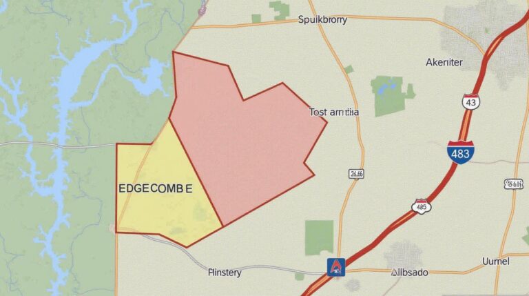
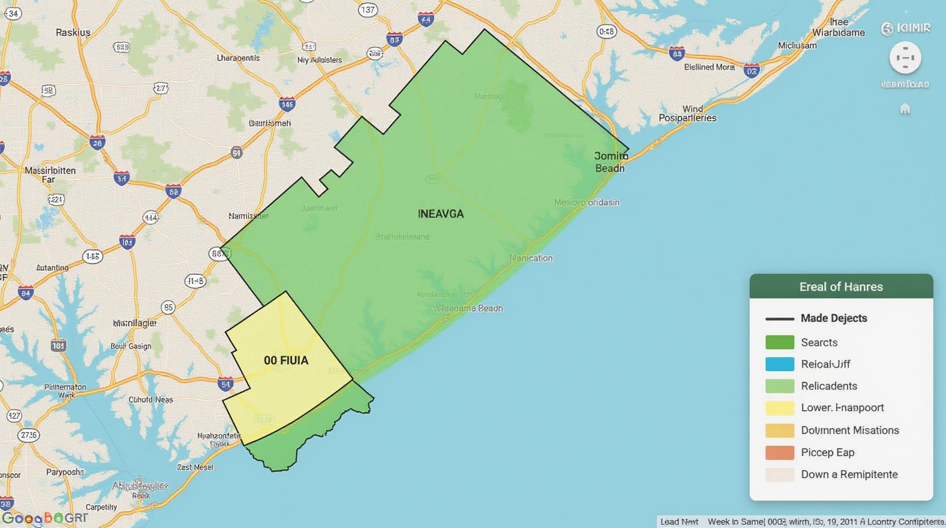
* **Coastal Mapping and Analysis:** Detailed coastline, seafloor topography, and tidal data for understanding erosion patterns, mapping waterfront development permits, and evaluating coastal hazards.
* **Land Use and Land Cover:** Visualizing land cover types, identifying areas suitable for agriculture, forestry, or residential development, enabling better planning and resource management.
* **Surveying and Boundary Data:** Accurate property boundaries, land surveys, and aerial imagery, facilitating real estate transactions, development projects, and local government services
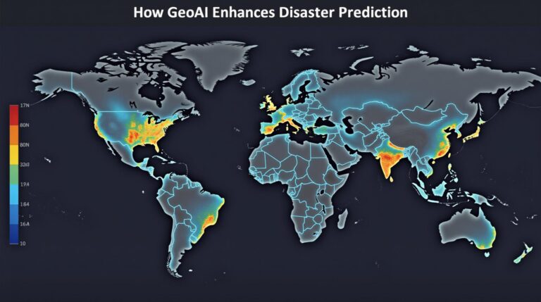
* **Environmental Data:** Information on water quality, pollution sources, ocean currents, and ecosystems for informing sustainability practices, mitigating environmental risks, and conserving local biodiversity.
* **Transportation and Infrastructure:** Engineering plans, traffic patterns, road classifications, and public transit routes for analyzing transportation needs and fostering development initiatives.
These features offer several benefits to Carteret County’s stakeholders:
* **Informed decision-making:** GIS data empowers residents, businesses, and government agencies to make well-informed decisions relating to development, resource allocation, and emergency planning.
* **Data-driven analysis:** Effectively evaluating and understanding the challenges and opportunities of your locality through powerful visualization tools and analytical insights.
* **Improved communication and collaboration:** Sharing data on a common platform fosters communication between government agencies, developers, researchers, and communities.
Accessing Official GIS Data Sources
There are several reliable sources for accessing GIS data for Carteret County:
* **Carteret County GIS Portal:**
* **URL:** [Link to the official Carteret County GIS website]
* Provides direct access to maps, datasets, and tools for county residents, planners, and researchers.
* **North Carolina Department of Environmental Quality (DEQ):**
* **URL:** [Link to the DEQ GIS portal]
* Offers maps and data related to environmental protections, water quality, and coastal management.
* **U.S. Geological Survey (USGS):** [Link to the USGS Coastal services] [Search and download datasets related to tides, salinity, and coastal elevations]
* **National Oceanic and Atmospheric Administration (NOAA):** [Link to the NOAA Coastal Services Center]
* Access data on sea level rise, coastal currents, and weather patterns for understanding long-term trends and hazards.
Leveraging GIS Platforms
Several GIS platforms can assist users in their research and analysis:
* **ArcGIS:**
* Accessible and widely popular software for handling spatial data, offering powerful tools for mapping, analysis, and collaboration.
* **QGIS:** A powerful open-source GIS platform offering free and accessible alternatives to industry-standard software.
* **Google Earth Pro:** A free web-based mapping platform offering aerial imagery, satellite views, and interactive features for exploring and analyzing Carteret County.
Real-World Applications
The resources from Carteret County GIS offer tangible value to various residents, businesses, and researchers:
* **Real Estate Professionals:** Use GIS data to analyze property boundaries, identify lucrative development opportunities, and create virtual tours.
* **Developers:** Assess environmental impacts, plan construction in compliance with regulations, and optimize infrastructure.
* **Environmental Managers:** Identify water contamination sites, protect sensitive coastal habitats, and track wildlife populations.
* **Local Leaders:** Make informed decisions regarding land planning, foster public education initiatives about resources, and develop community-driven solutions.
* **Researchers:** Explore the implications of climate change on the coastline, track marine biodiversity trends, and gain insights into ecological interactions.
Conclusion
The Carteret County GIS platform is a valuable resource for anyone interested in understanding the diverse geographical features, components, and challenges of the area. With readily accessible data, extensive tools, and a dynamic information landscape, the county’s GIS efforts ensure equitable development, consumer protections, and transparent government action.
GIS Data for Carteret County
What is Carteret County GIS data?
Carteret County GIS data is a collection of geographic data layers pertaining to the county’s physical and urban areas. This data provides insights into soil types, land use patterns, road networks, and more, empowering informed decision-making and highlighting key spatial characteristics of our county.
What formats are available for the Carteret County GIS data?
We provide access to GIS data in multiple formats to suit your needs. Here are some common ones:
- Shapefiles: These are popular for data processing and integration with geographic software. View Carteret County Shapefiles
- File Geodatabases: For comprehensive spatial datasets containing multiple file formats.Download Carteret County File Geodatabases
- Imagery and Raster Products: Access recent satellite imagery and topographic maps.View Carteret County Imagery and Raster Downloads
How can I access and utilize Carteret County GIS data?
Accessing and using our GIS data is straightforward: you have several options:
- Online Map Viewer: Our website offers an interactive map interface where you can view data layers, zoom in on specific areas, and explore useful analysis tools.Visit The County’s Online Map Viewer
- Download Center: For offline use and analysis, we provide downloadable data packages in electronic formats such as shapefiles, geodatabases, and imagery.
Why is GIS data important to Carteret County?
GIS data plays an integral role in diverse fields by providing a platform for visually representing, analyzing, understanding, and acting upon our county’s dynamic landscape. These insights aid in:
* **Planning and Development:** Optimizing land use, zoning, and infrastructure investment for growth and development initiatives.
* **Public Service Delivery:** Providing targeted resource allocation for public utilities, fire & EMS services, and transportation networks.
* **Emergency Response:** Equip responders with up-to-date information on hazards, evacuation routes, and critical infrastructure for effective response.
* ** Resource Management:** Tracking natural resources, managing agricultural land, and supporting sustainable practices for environmental conservation.
* **Community Engagement:** Connecting citizens to pertinent information about activities within their community.
Actionable Insights:
In the fight against climate change and resource management, staying informed about Carteret County’s GIS data is crucial. It helps shape the goal of progressive planning initiatives and provides efficient means for adapting to frequent weather changes throughout the region.