geoai-zoning-optimization

GeoAI for Smart Urban Development – Zoning Optimization

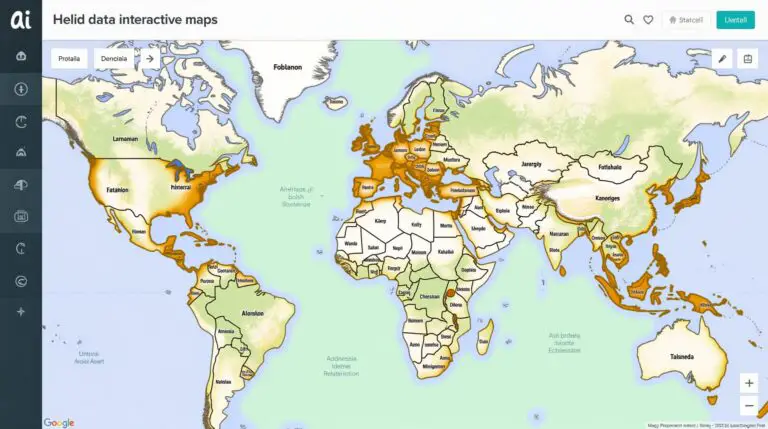
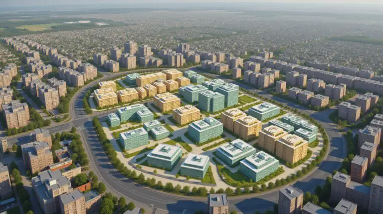
GeoAI for Smart Urban Development – Optimizing Zoning As our global urban areas swell, so too does the need for effective and efficient resource management. Traditional planning methods often struggle to keep pace with the complexities of modern cities. Enter GeoAI: What is GeoAI? GeoAI, or Geographical Artificial Intelligence, employs machine learning algorithms and data…

geoai-trend-analysis

AI in Geospatial Data Mining – Trend Analysis

AI in Geospatial Data Mining – Trend Analysis The world of data visualization is experiencing a seismic shift, with artificial intelligence (AI) at its forefront. Geospatial data mining, a discipline that unveils patterns and insights in spatial data, is profoundly transforming the landscape through the power of AI. Exploring the Intersection of Geospatial Data Mining…

geoai-soil-moisture

GeoAI for Smart Agriculture – Soil Moisture Monitoring

GeoAI for Smart Agriculture – Soil Moisture Monitoring The global population is rapidly increasing, demanding a sustainable and resilient food supply. Agricultural practices are increasingly incorporating technological innovations to achieve higher yields while minimizing environmental impact. GeoAI emerges as a valuable tool for optimizing resource management in the agricultural sector, with soil moisture monitoring at…

geoai-feature-extraction

AI for Geospatial Data Interpretation – Feature Extraction

AI for Geospatial Data Interpretation – Feature Extraction The ever-growing volume of geospatial data, from satellites to aerial photos, demands innovative methods for analysis and interpretation. Enter AI, specifically feature extraction using AI. This powerful technology is revolutionizing how we understand the Earth, providing insights previously hidden in complex spatial patterns. What is Feature Extraction?…

geoai-drought-prediction

GeoAI for Smart Water Management – Drought Prediction

GeoAI for Smart Water Management – Drought Prediction Keeping our water supply secure is essential in an increasingly unpredictable climate. As we face the specter of drought more frequently, advanced technologies like GeoAI are playing a crucial role in predicting and managing water scarcity. Let’s dive deeper into the power of geolocation artificial intelligence in…

geoai-multi-source-data

AI in Geospatial Data Integration – Multi-Source Fusion

AI in Geospatial Data Integration – Multi-Sensor Fusion Harnessing the immense power of Artificial intelligence (AI) in geospatial data integration has revolutionized our understanding and management of the planet. By merging diverse data sources, AI algorithms unlock insights previously unreachable through traditional methods. This article explores the fundamentals and implications of AI in geospatial data…

geoai-traffic-flow

GeoAI for Smart Transportation – Traffic Flow Prediction

GeoAI for Smart Transportation – Traffic Flow Prediction The future of smart city transportation is on the horizon, and at the forefront of this evolution stands GeoAI— Geographic Artificial Intelligence. GeoAI offers revolutionary insights into traffic flow patterns by leveraging the power of geographic data and machine learning algorithms. This potent combination is shaping the…

geoai-land-cover-mapping

AI for Geospatial Data Classification – Land Cover Mapping

AI for Geospatial Data Classification – Land Cover Mapping What is Land Cover Mapping? Land cover mapping is the process of visually analyzing and classifying the physical components of Earth’s surface. It essentially involves making detailed maps of various land cover elements, including forests, water bodies, built-up areas, and agricultural land. These maps are crucial…

geoai-resource-allocation

GeoAI for Smart Disaster Response – Resource Allocation

GeoAI for Smart Disaster Response: Streamlining Resource Allocation Facing a crisis, whether it’s a natural disaster or a localized epidemic, is a dreadful experience. But in times of need, technology can be a powerful force, facilitating faster, more efficient response. Enter GeoAI, a transformative approach to disaster response leveraging AI techniques and location-based data for…

geoai-interactive-mapping

AI in Geospatial Data Visualization – Interactive Maps

AI in Geospatial Data Visualization – Interactive Maps The world is brimming with data—and a vast majority of it resides within the realm of geospatial contexts. Analyzing this data, however, requires intricate tools and effective techniques for effective presentation. Enter Artificial Intelligence (AI), specifically its prowess in geospatial data visualization, that’s bringing about interactive maps…