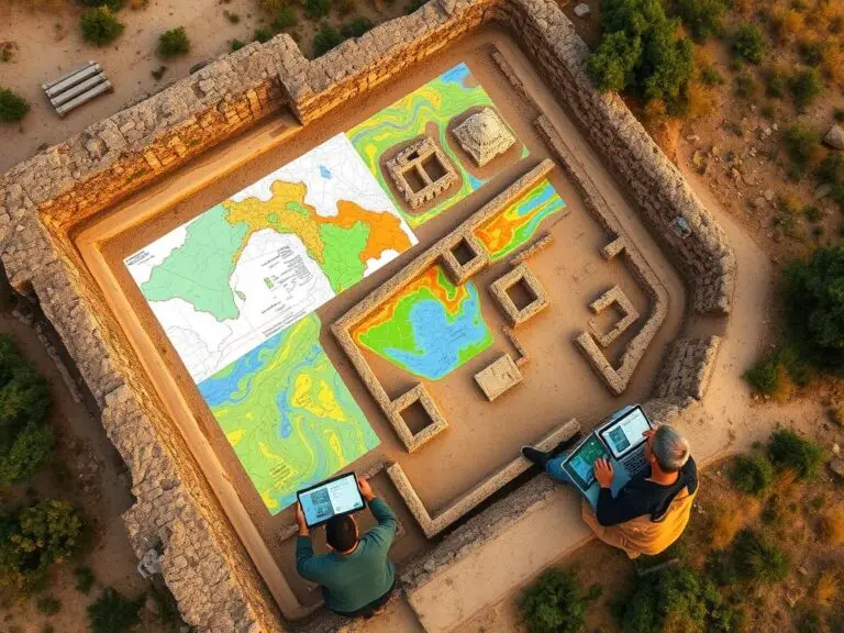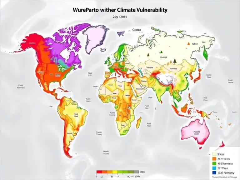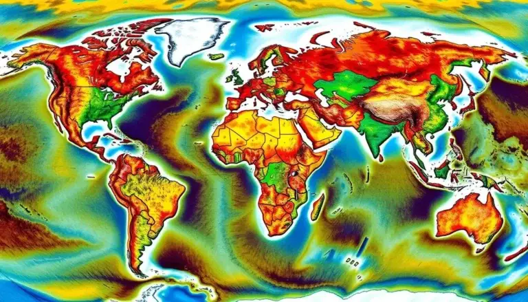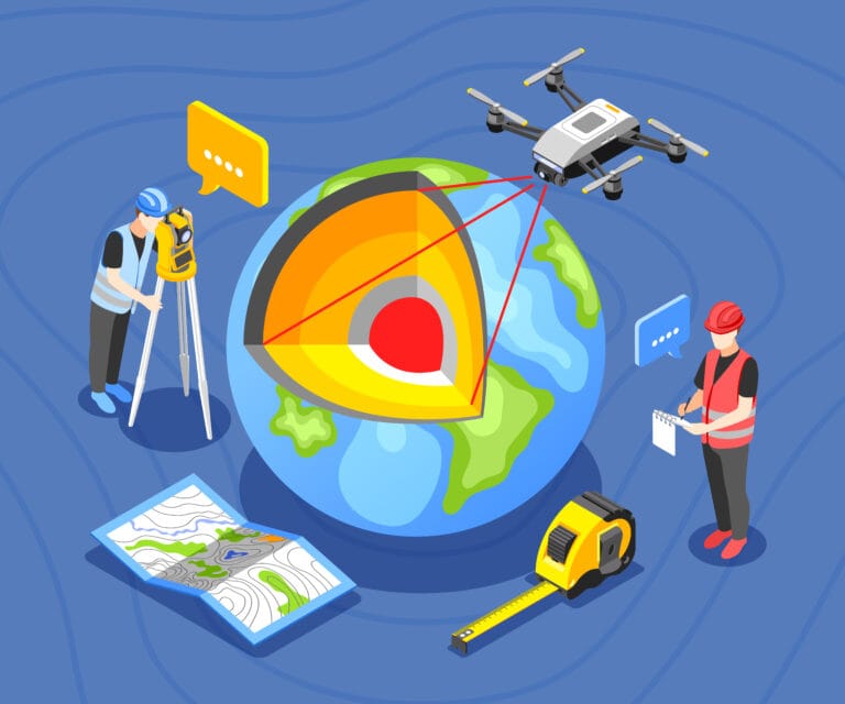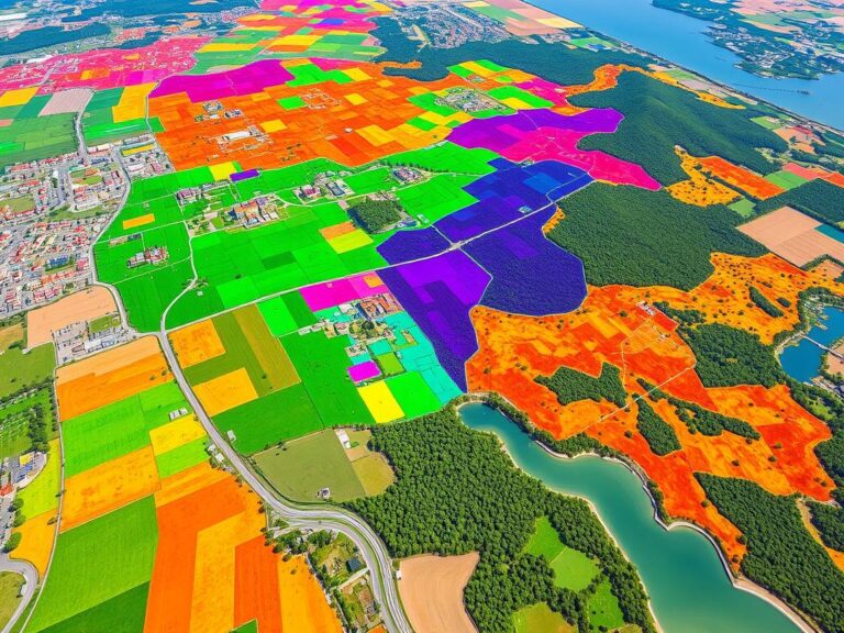
Monitoring Land Use with GIS
In today’s fast-paced world, knowing how land is used is key for a sustainable future. Geographic Information Systems (GIS) are a powerful tool for tracking these changes. They use data, satellite images, and advanced methods to show how land use evolves. This article looks at how GIS helps in tracking land use. It shows its…