SRID

Understanding cartographic coordinates systems SRID

Geospatial data is key in many fields, like urban planning and environmental monitoring. It’s also vital for transportation and public safety. This article focuses on the basics of cartographic coordinate systems and their Spatial Reference Identifier (SRID). Coordinate systems are the backbone of geospatial data in Geographic Information Systems (GIS). They help standardize the location…

GIS CONFERENCES

Upcoming Top 5 Geospatial and GIS Conferences in 2024 – 2025

As the field of geospatial science continues to evolve, attending gis conferences is essential for professionals to network, share knowledge, and stay updated on the latest trends and technologies. Here are five of the biggest Geospatial and GIS conferences to look out for in 2024, complete with their dates, locations, and links for more information….

XYZ Tiles in QGIS

XYZ Tiles in QGIS

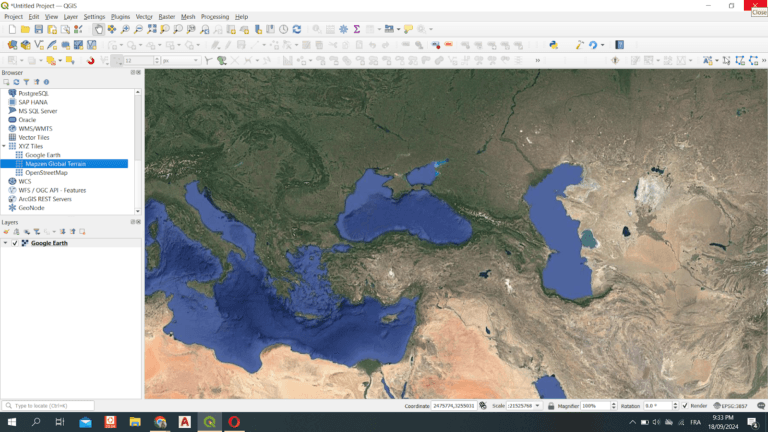
Exploring XYZ Tiles in QGIS: A Comprehensive Guide Are you looking to enhance your geographic data visualization in QGIS? One powerful feature that can significantly improve your mapping experience is the use of XYZ tiles. In this article, we’ll delve into what XYZ tiles are, how to use them in QGIS, and why they are…

QGIS

Top 5 Open-Source GIS Tools for 2024

Top 5 Open-Source GIS Tools for 2024: Essential for Geospatial Applications The open-source GIS landscape continues to evolve, providing powerful tools for various geospatial applications. As we move into 2024, these top five open-source GIS tools stand out for their robust features, ease of use, and versatility in handling complex spatial data. From urban planning…