Gaston County, NC GIS: Unlocking Local Insights
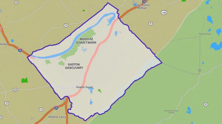
## Gaston County, NC GIS: Unlocking Local Insights Gaston County, nestled in the heart of North Carolina’s Piedmont region, is a vibrant hub of industrial activity, beautiful scenery, and economic progress. The county, nestled on the foothills of the Blue Ridge Mountains, offers an alluring blend of natural beauty and urban dynamism. Understanding this complex…