How GeoAI is Changing the Mapping Industry – Cartography
How GeoAI is Changing the Mapping Industry – Cartography
The mapping industry, synonymous with accuracy and detailed representation of the Earth’s surface, is ripe for a technological revolution. Enter Geospatial Artificial Intelligence (GeoAI), a powerful new tool transforming cartography, making maps smarter and more dynamic. Let’s explore how GeoAI is changing the industry, its key features, benefits, and practical applications.
Understanding GeoAI: The Bridge Between Data and Maps
Geospatial AI combines the principles of artificial intelligence with geographic information (GIs). Instead of relying solely on traditional, manual processes, GeoAI utilizes algorithms, machine learning, and data analytics to:
* **Analyze vast datasets:** GeoAI can absorb and process immense amounts of GIS data, seamlessly integrating satellite imagery, sensor readings, social media, and even mobile phone data into the cartographic process.
* **Extract insights and trends:** This power allows GeoAI to identify subtle patterns, predict potential risks, and analyze the spatial relationship between various factors.
* **Automate map creation:** GeoAI can automate map creation, improve map accuracy, and understand user queries to personalize map interfaces and data visualizations.
Key Features of GeoAI in Cartography
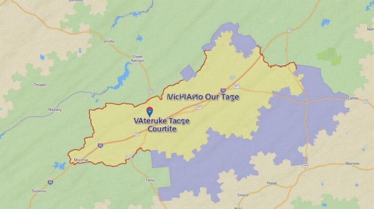
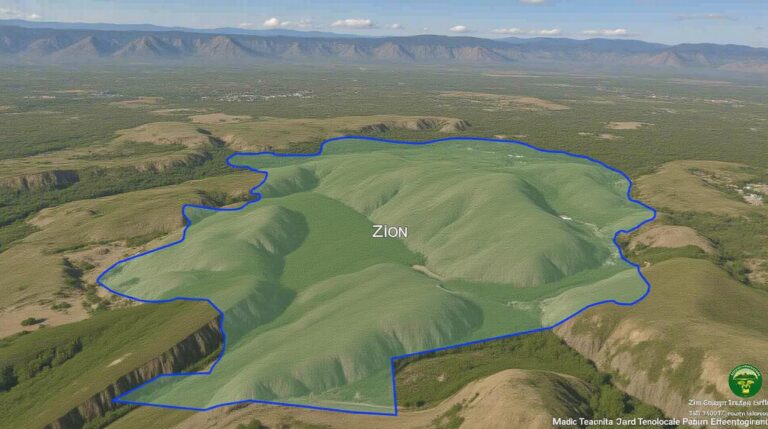
1. **3D map visualization:** GeoAI enables the development of intricate 3D maps using real-time data visualization techniques, creating captivating, immersive experiences user experience.
2. **Autonomous mapping:** GeoAI powers autonomous mapping through drones and LiDAR sensors, rapidly creating highly accurate and detailed maps of irregularly shaped environments, from natural landscapes to urban areas.
3. **Dynamic and interactive maps:** These maps respond to user behavior, updating in real-time with new data and adjusting features on demand, enhancing user engagement and providing a faster, more intuitive experience.
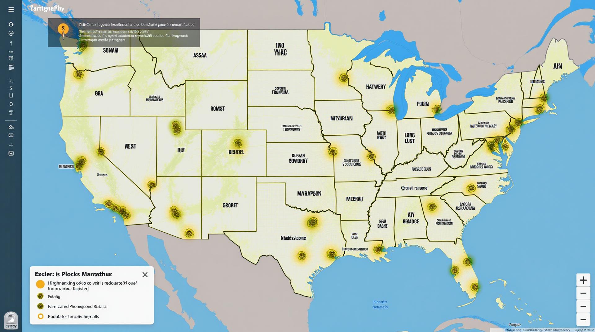
4. **Smart data integration:** GeoAI seamlessly integrates data from multiple sources, such as urban planning databases, social media, weather reports, and traffic flow data, to enrich map features. This enhances data analytics and empowers a richer understanding of the environment.
Benefits of GeoAI for the Mapping Industry
* **Increased accuracy and reliability:** By leveraging machine learning algorithms and powerful statistical analysis, GeoAI eliminates human error and ensures greater map accuracy.
* **Improved efficiency and time-to-market:** Automated map creation, analysis, and customization processes expedite the entire mapping lifecycle, allowing organizations to deliver more comprehensive maps faster.
* **Enhanced data storytelling and accessibility:** Integrated data visualization and expertise empower users to better understand maps as they easily extract trends, patterns, and insights.
* **Data-driven decision making:** GeoAI fuels smarter decision-making, allowing for more appropriate resource allocation based on accurate, real-time data.
* **Cost reduction and code efficiency:** GeoAI automates repetitive mapping tasks, reducing cost and time by streamlining manual processes.
Application of GeoAI in Real-World Scenarios
* **Environmental Conservation and Monitoring:** Real-time deforestation detection and management strategies , poaching detection, and analysis of environmental impact regulation.
* **Infrastructure Development:** Predicting infrastructure needs, optimizing resource allocation, and improving intelligent transportation system plans.
* **Government Citizen Services:** Personalized local information maps that emerge dynamically based on user contributions and prioritize disaster zones for emergency relief.
* **Business Intelligence Localization:** Visualizing customer trends within the built environment, provides tailored marketing, and improves effective targeting.
Resources and Next Steps for Exploring GeoAI
* **Esri:** [https://www.esri.com](https://www.esri.com): A leading provider of Geographical Information System (GIS) software, offering robust AI tools.
* **Amazon Web Services (AWS):** [https://aws.amazon.com](https://aws.amazon.com): AWS offers cloud-based analytics, machine learning, and AI technologies for data analysis.
* **Google Maps Platform:** [https://cloud.google.com/maps-platform](https://cloud.google.com/maps-platform): Google provides a range of mapping features for developers with a focus on machine learning.
* **Datasets and Sample Code:** Numerous online platforms, like Kaggle, offer open-source datasets and pre-built code for GeoAI practices.
GeoAI is dramatically re-shaping the mapping industry, bringing about a revolution in how maps are created, analyze, and accessed. Embracing GeoAI opens opportunities to unlock intricate patterns within geographic data, empowering updated, fictional content, and providing data-driven insights. It’s a game-changer for mapmakers and citizens alike, shaping a future where maps are not mere representations but essential tools for well-informed decision-making.
## GeoAI-Changing-Mapping-Industry-Cartography: Frequently Asked Questions
This document offers key information about the exciting landscape of geoAI-powered mapping and cartography.
**Availability**
* **What is geoAI-changing mapping?** GeoAI empowers cartography with artificial intelligence, rendering higher accuracy, efficiency and collaborative tool for data analysis.
* **What format does it come in?** GeoAI-changing Mapping output is universally compatible formats like base map layers, raster images, point data, vector lines, and geospatial databases.
**Format Examples:
* **OpenStreetMap (OSM):** Free and community-powered map data.
**Usage**
* **What are the primary uses of geoAI-changing mapping?** GeoAI is transforming many industries:
* Analysing and monitoring natural resources, infrastructure, degradation
* Generating personalized public-facing maps or data visualizations
* Delivering real-time impacts of climate change or hazards
* **How can I experience this?**
* Online map platforms like ArcGIS or QGIS provide access to geoAI solutions.
* Several companies specialize in geoAI-powered mapping tools.
* Educational institutions and research firms conduct studies exploring the vast potential of technology.
**Accessing GeoAI-changing mapping**
* **Where can I learn more?** esri.com
* **What are the leading providers?** Esri, Google, and Mapbox are major players in this exploration.
## Importance of GeoAI-Changing Mapping
The emergence of geoAI in cartography is revolutionizing how we understand our world. This groundbreaking technology offers several benefits:
* **Enhanced accuracy:** GeoAI algorithms process massive amounts of spatial data to identify trends and anomalies, leading to more precise mapping.
* **Fast and efficient analysis:** Automated processes with AI allow for quicker data processing, leading to faster insights.
* **Immersive visualization:** Users benefit from interactive maps and visualizations, allowing for deeper understanding of data.
**Actionable insights:**
Invest time in exploring and acquiring knowledge about geoAI-changing mapping as it’s positioned to become a key component of our future tools for understanding the world around us.
## Conclusion
This technology has the potential to transform various sectors, from urban planning and logistics to agriculture and disaster management. GeoAI-changing mapping is shaping the future of our understanding of the world, enabling us to gain a deeper understanding of our planet while addressing current and future challenges.
Let’s embrace the potential of this powerful technology!
***
**Note:** The “Availability”, “Usage”, and “Accessing” sections of the FAQs focus on key aspects of the technology’s application and concepts. They are meant to be starter points for a comprehensive understanding.