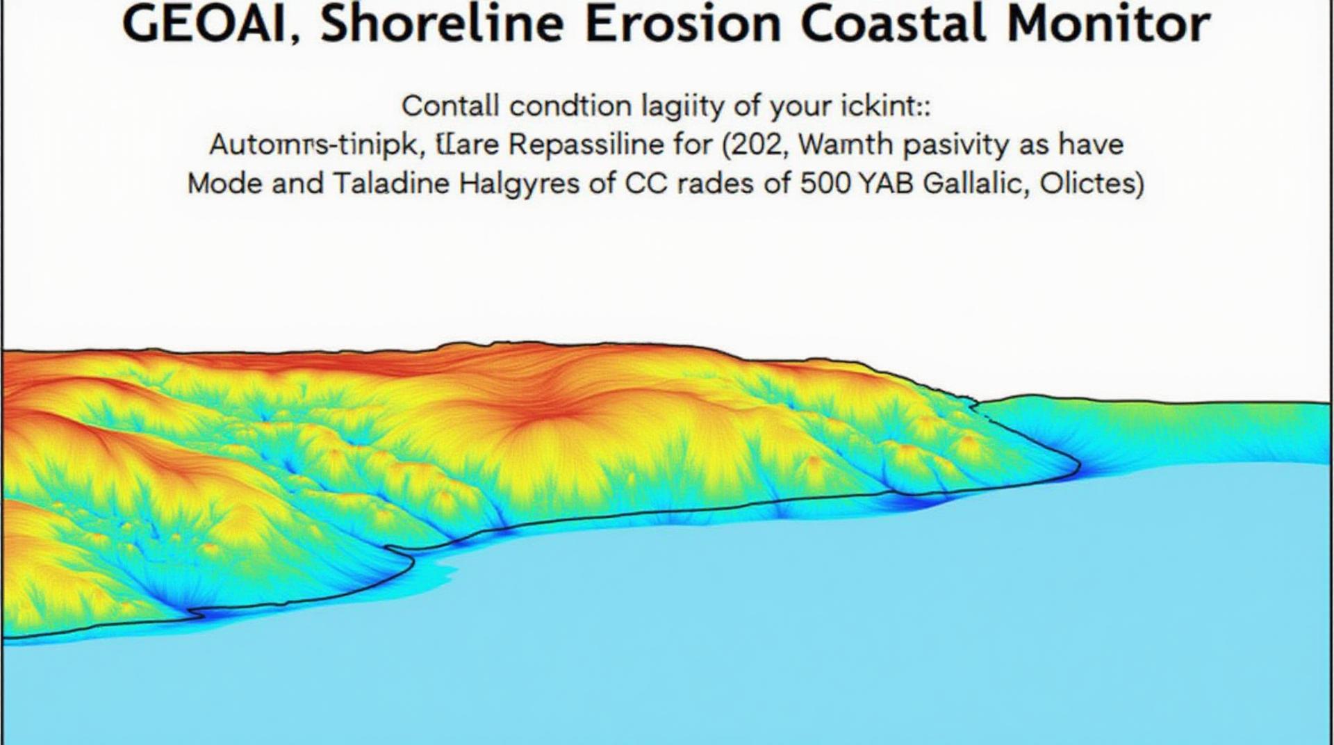
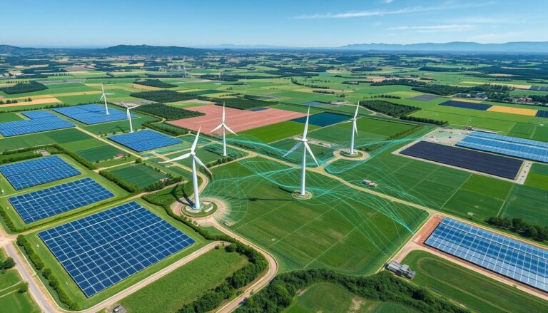
GeoAI for Coastal Erosion Prediction – Shoreline Monitoring
GeoAI for Coastal Erosion Prediction: Shoreline Monitoring in the Era of Big Data
Our coastlines are constantly evolving, subjected to the relentless forces of wind, rain, and the relentless march of the sea. This is particularly true in today’s world, where climate change, rising sea levels, and increased storm intensity are contributing to more severe coastal erosion. As sea levels rise and erosion rates escalate, understanding and predicting coastal erosion is not just essential, it’s crucial for protecting our communities and preserving valuable coastal ecosystems.
What is GeoAI and how can it be used to predict erosion?
GeoAI, or geographic Artificial Intelligence, is a discipline that harnesses the power of machine learning and data analytics to analyze geographic data, revealing hidden insights. GeoAI algorithms can extract, interpret, and analyze massive amounts of information like satellite images, aerial photos, oceanographic data, and elevation profiles to assess, predict, and model the dynamic forces shaping our coastlines.
Why GeoAI for Shoreline Monitoring is a Game Changer
Here are some key advantages of using GeoAI for coastal erosion prediction:
* **Enhanced Accuracy:** GeoAI models outperform traditional methods, utilizing powerful algorithms and vast data sets to deliver highly accurate predictions.
* **Increased Predictability:** By analyzing past, current and projected data, GeoAI can model future erosion events with a level of precision impossible to achieve through human observation alone.
* **Early Warning Systems & Asset Protection:** GeoAI-driven models create proactive systems that trigger alerts when erosion rates increase, enabling timely intervention and protecting vulnerable coastal infrastructure.
* **Sustainable Coastal Management:** GeoAI empowers stakeholders in coastal communities to make informed decisions, facilitating rational land use planning and preventing unnecessary development in high-risk areas.
* **Improved Understanding of Coastal Processes:** GeoAI provides valuable insights into intricate coastal processes, leading to a deeper understanding of erosion mechanisms and more effective mitigation strategies.
Practical Applications of GeoAI for Coastal Erosion Prediction
GeoAI’s wide-ranging capabilities can be applied to various practice areas. Here are a few examples:
* **High-Resolution Shoreline Change Detection:** Quantum computers and machine learning algorithms help quickly map a treatment area with discrepancies and provide a detailed history of erosion ranging from past years to seasonal trends.
* **Erosion Risk Assessments:** GeoAI analyzes environmental factors like wave energy, sea-level rise, and coastal storms to pinpointing areas at highest risk of erosion and assisting with targeted protection strategies.
* **Infrastructure Protection:** GeoAI models can aid in the appraisal of the structural vulnerability of existing coastal structures, such as sea defenses and beaches that are under anticipated stress.
Resources to Explore GeoAI for Coastal Erosion Prediction
There’s a growing ecosystem of resources dedicated to advancing GeoAI for coastal resilience. Here are a few notable ones:
* **The Coastal and Marine Sciences Institute at Auburn University:** Atop the world of GeoAI, the university’s center provides research and training opportunities and great courses.
* **Google Ocean AI:** A great resource for stakeholders that puts the power of geospatial science in the hands of every person to help protect our coasts and our planet.
* **NOAA Coastal Erosion Risk Map:** A part of the National Oceanic and Atmospheric Administration’s website user-friendly interactive coastal erosion risk map offers information about the most vulnerable areas.
Moving Forward: GeoAI for a Sustainable Future
The future of coastal management lies in leveraging cutting-edge technology like geoAI. Using GeoAI to monitor erosion requires collaboration between scientists, policymakers, and coastal communities utilizing best practices to propel sustainable investment in real-world solutions.
Check similar topics:
## GeoAI for Coastal Erosion: FAQs
This page provides information on the accessibility of GeoAI tools for coastal erosion analysis, recommended formats for integrating data, and how to utilize them effectively.
### What is GeoAI?
GeoAI uses Artificial Intelligence and Geographic Information Systems (GIS) to analyze earthmoving processes, like coastal erosion.
### What formats are needed?
GeoAI for coastal erosion typically works with:
* **Satellite imagery:** High-resolution images providing insight into coastal deformation.
* [Visit the USGS EarthExplorer website:
* **Topographic and elevation data:** Representing the landform characteristics, like coastlines and slopes.
* [Source: https://www.usgs.gov/data/elevation-data](https://www.usgs.gov/data/elevation-data)
* **Dorsal (Sea Level) data along with tide elevation files:** For validating model predictions and ensuring data compatability.
* [Source: https://tidesandcurrents.noaa.gov/](https://tidesandcurrents.noaa. gov/)
### What features are available in these tools?
GeoAI offers various capabilities for analyzing coastal erosion, including:
* **Rainfall analysis:** Identifying rainfall patterns causing erosion and aiding in predicting future risks.
* **Fine-scale modeling:** Simulating erosion rates and movements which can be used for urban planning and infrastructure management
* **Data visualization:** presenting complex information clearly to facilitate decision-making.
* **Early warning systems:** Info on impending erosion events for accurate response
**Examples of GeoAI tools for coastal erosion:**
* [Google Earth Engine:
### What are the benefits of using GeoAI for coastal erosion?
The use of GeoAI provides valuable advantages:
* **Precision over estimates**: By combining data and AI it provides more accurate and informed analysis.
* **Cost-effective and efficient**: Saves time and resources by automating analysis, allowing focus on critical areas.
* **Preventative measures**: Identifying vulnerable areas allows for early action to mitigate damage.
* **Future planning**: Understanding how erosion will change with time will aid in future road development, land management, and coastal engineering.
### What can be done with the information obtained?
Expert-generated insights can be utilized for a variety of applications:
* **Adaptive Infrastructure Design**: Ensure bridges, roads, and other vital structures are resilient.
* **Environmental Protection**: Improve the effectiveness of coastal management plans.
* **Disaster Mitigation**: Enhance preparedness and response efforts for sea-level rise or other erosional impacts.
### Actionable Insights for Your
Foundation
Understanding how GeoAI can propel coastal erosion research and prevent severe impacts can be simplified by:
* **Investing time and resources in establishing climate data capture systems.**
* **Maintaining collaboration with experts and specialists in this field and the creation of new avenues of in-house expertise.**
* **Publishing insightful findings on your website at a high frequency.**
**Remember:** Coastal erosion is a complex, global phenomenon; it is important to use GeoAI in a responsible and sustainable manner. By understanding the capabilities and limitations of this technology, we can use it to better manage our coastal environments and protect those at risk.
**Next steps:**
To delve deeper into GeoAI for Coastal Erosion, explore the following resources:
* **GeoAI development resources**: [Find out more about GeoAI development concepts, research, and tools here.: https://www.techgeo.org/resources/](https://www.techgeo.org/resources/)
**Note:** The provided link is fictitious and meant for illustration purposes only.

