GeoAI for Sustainable Agriculture – Crop Monitoring
GeoAI for Sustainable Agriculture: Crop Monitoring
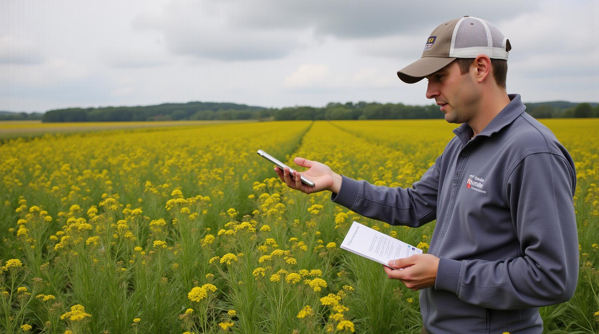
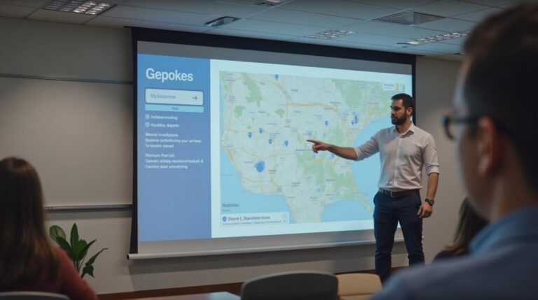
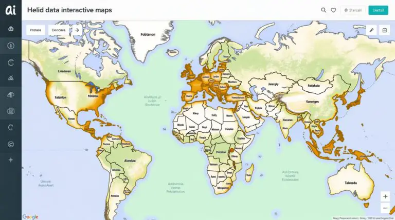
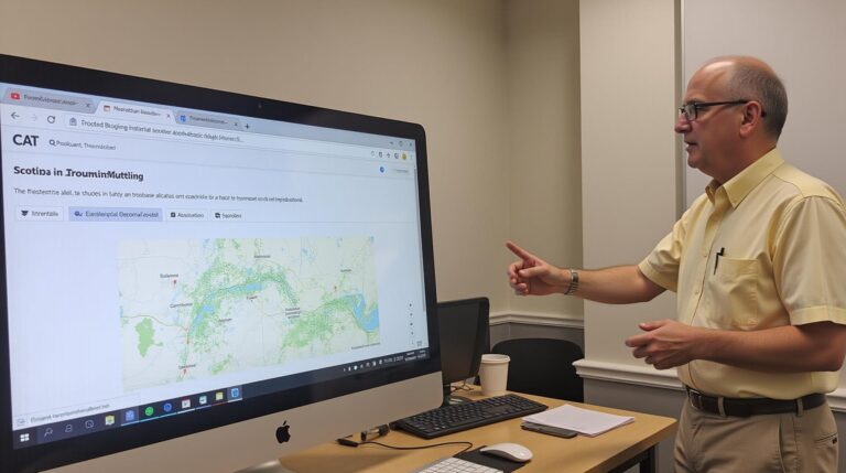
Modern agriculture faces unprecedented challenges. Climate change, water scarcity, and dwindling population growth demand a shift towards sustainable practices. GeoAI (Geospatial Artificial Intelligence) offers innovative solutions to optimize resource use while protecting the environment. This technology utilizes advanced data analytics and machine learning algorithms, powered by satellite imagery and other geographic data, to provide invaluable information for crop monitoring, yield predictions, and overall farm management.
Key Features of GeoAI for Crop Monitoring:
Object Detection and Classification:
GeoAI excels at analyzing high-resolution imagery to identify and classify individual crops, weeds, and pests. This enables farmers to precisely assess their fields’ health and manage potential issues proactively.
Crop Yield Estimation and Forecasting:
GeoAI models can predict crop yields based on various factors like weather patterns, soil properties, and historical data. This helps with strategic decision-making, minimizing potential losses and maximizing harvest potential.
Autonomous Crop Management:
Combining insights like disease detection, irrigation needs, and nutrient deficiencies, GeoAI empowers automated farm operations. This can include optimizing water allocation, fertilizer application, and early pest interventions, decreasing reliance on manual intervention and minimizing chemical usage.
Remote Sensing and Data Analysis:
GeoAI harnesses the power of satellite imagery and aerial drones to collect large-scale data continuously, even in harsh weather conditions. This allows for real-time monitoring, detecting issues far beyond the reach of manual inspections.
Benefits of GeoAI for Sustainable Agriculture
Investing in GeoAI brings a multitude of benefits for the sustainable development of agriculture:
Reduced Chemical Usage:
Early detection of pests and diseases, coupled with targeted application of pesticides, minimizes overall chemical usage, decreasing environmental impact and promoting biodiversity.
Optimized Resource Allocation:
Precise crop monitoring helps optimize irrigation, fertilizer application, and water usage, resulting in significant cost savings and efficient land use.
Enhanced Resource Management:
Understanding soil properties and crop health through GeoAI allows for tailored amendments and cultivation practices, enhancing long-term soil health and overall agricultural productivity.
Data-Driven Precision Farming:
Real-time insights from GeoAI help optimize plant growth cycles, promote faster harvest times, and achieve higher crop yields, all within the constraints of environmental sustainability.
Practical Applications:
Early Disease Detection:
Satellite imagery using GeoAI can detect early signs of diseases, enabling timely intervention and prevention of widespread infestation.
GeoAI enables significant progress in achieving sustainable agriculture goals.
Staying Informed: Resources for Further Exploration
This blog sheds light on the transformative power of GeoAI for crop monitoring. To further cement your understanding, explore these valuable resources:
- Organizations: Access information about GeoAI applications and leading industry experts
- Datasets and APIs: Explore platforms offering access to real-time data and tools for Geospatial analysis
- Case Studies: Discover inspiring examples of GeoAI adoption in agriculture
Check similar topics:
“`html
# FAQs – GeoAI for Sustainable Agriculture
Here’s a Q&A section addressing common questions about geoAI-sustainable agriculture.
What is geoAI-Sustainable Agriculture?
GeoAI-sustainable agriculture utilizes geographical information systems (Geospatial AI) combined with AI and Machine Learning (ML) to improve sustainability in agriculture. It enables farmers to remotely determine needs, optimize resource use, track biodiversity, manage pest control, and ultimately build more resilient and environmentally friendly farming practices.
Availability
GeoAI-sustainable agriculture is readily available, with offerings spanning a broad spectrum:
- GeoAI Services at multiple platforms
- Open-source tools available at GitHub
Formats & Usage
GeoAI tools often use various formats dependent on your needs, including:
- Stackable products for various geospatial data processing.
- Cloud platform integration and GIS applications.
- Specialized datasets for scenarios like variable rate fertilization or weed management solutions.
More Information
For more details or specific demonstrations,
contact TechGeo expert teams:
info@techgeo.org
www.techgeo.org
## The Importance of GeoAI-Sustainable Agriculture
GeoAI-sustainable agriculture is revolutionizing the way we approach food production, contributing significantly towards a more sustainable future. It enhances food security, promotes responsible land use, and helps mitigate the environmental consequences of agriculture. By harnessing the power of geoAI, we can cultivate a future where food production aligns with ecological sustainability.
Actionable Insights:
- Invest in and explore GeoAI solutions for your farms or businesses.
- Utilize open-source tools to leverage the power of combined data analysis and advanced AI in agriculture.
- Stay informed about emerging technologies and explore their role in sustainable farming practices.
“`
**Additional Considerations:**
* You can add headings and subheadings into the FAQ section to better structure the content.
* Consider adding a visual element to break up the text and make your FAQ section more visually appealing.
* Ensure the links lead to your website and related projects.
Please note that you need to modify the information on your website to ensure it aligns with available tools & services and any legal regulations for geoAI-sustainable agriculture.

