AI in Geospatial Data Transformation – Data Conversion
Unlocking Insights from Data: The Power of AI in Geospatial Data Transformation
The geospatial world is a tapestry of information, woven with data from satellites, sensors, and ground observations. However, this complex architecture of point-cloud data, imagery and location-tagged files is often fragmented and needs meticulous preparation to unlock its true value for analysis. Luckily, Artificial Intelligence (AI) has emerged as the practical key to transforming raw geospatial data into actionable insights.
What is Geospatial Data Transformation and Why is AI So Important?
Geospatial data transformation refers to the crucial process of converting raw geospatial data, often in its native format, into other, more suitable formats for analysis and visualization. These updated datasets are vastly necessary for complex applications such as:
- Identifying patterns and trends in terrain, land cover, or population density.
- Extracting valuable insights from complex datasets for risk assessment or resource management.
- Monitoring environmental changes, urban sprawl, or natural disaster responses.
AI-powered algorithms offer unprecedented capabilities in resolving these challenges. By leveraging machine learning and deep learning, machines can automate data pre-processing steps like:
* **Image resolution enhancement:** AI helps analyze and enhance satellite imagery and aerial photos, allowing for easier analysis and understanding.
* **Data cleaning:** AI can detect and correct inconsistencies, errors, and outliers in geospatial data, leading to more reliable insights.
* **Feature extraction:** AI identifies distinct features, patterns, and relationships within large datasets, unveiling hidden information.
* **Geospatial data annotation:** AI assists in labelling and tagging specific features within maps and geographic databases, enhancing searchability and minimizing the need for manual input.
Key Advantages and Features of AI in Geospatial Data Transformation
- Automation and Efficiency: AI systems can process massive datasets in seconds or minutes, freeing up geospatial analysts from repetitive tasks and accelerating insights.
- Accuracy and Consistency: AI algorithms are well-equipped to handle complex relationships between various geospatial features, achieving greater accuracy and consistency in data transformation than manual techniques.
- Interpretability and Transparency: Machine learning models offer insights into decision-making processes. By analyzing insights from earlier transformations, the underlying behavior of the models, the reasons behind specific insights and results can be understood, contributing to model validity for future prediction.
- Scalability and Versatility: AI models are not limited to specific tasks and platform. They can be easily scaled to handle any volume of geospatial data.
Practical Applications of AI in Geospatial Data Transformation
The advantages of AI in data transformation extend to a wide array of real-world applications.
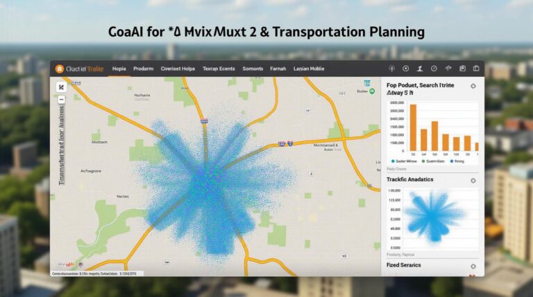
- **Urban Planning and Management:** AI drives intelligent traffic routing for effective urban transportation systems, resource management through predictive maintenance for infrastructure, and environmental impact assessment for sustainable developments.
- **Disaster Management & Emergency Response:** AI detects regions of high risk associated with natural hazards like floods, fires, and earthquakes, enabling proactive alerts and response strategies.
- **Environmental Monitoring:** AI monitors endangered species movements, environmental pollution, and resource consumption to aid in conservation efforts and sustainable resource management.
- **Agriculture: ** AI helps optimize crop yields, improve soil quality, and reduce irrigation needs for efficient agricultural practices.
Resources for Learning More about AI in Geospatial Data Transformation
Taking the first steps into this exciting field requires commitment to learning. Researching and understanding the landscape of available resources can greatly accelerate your learning process. Find learning materials below:
* ArcGIS Learning on using AI in ArcGIS software.
* The American Review offers explorations through numerous articles on using AI in various fields of geospatial data.
* Deakin University research paper features detailed project examples and research related to using AI in geospatial data analysis.
The power of AI in geospatial data transformation is undeniable. Utilizing these capabilities will propel the future of how we visualize, analyze, and utilize our planet’s geospatial data to uncover insights and empower informed decision making across diverse disciplines.
Check similar topics:
GeoAI Data Conversion FAQ
Have questions about using our geoAI Data Conversion service? We’ve got the answers! Find out more about our availability, formats, and how you can use it to accelerate your insights.
Availability
GeoAI Data Conversion is accessible via our easily integrated platform starting with a free trial. Learn more about pricing and plans based on your specific needs.
Supported Formats
We offer seamless conversion of various data formats, ensuring your data integrates seamlessly in any project. Our supported formats include
- Raster Data (TIFF)
- Vector Data (Shapefile, GeoJson)
- Geodatabase (Shapefiles)
- CSV
. Contact our support team for specific needs and formats.
Usage
GeoAI Data Conversion empowers you with tools to discover meaningful insights from your data. Practice makes perfect – browse our resources on embedding our tools into geospatial tools or tutorials for quick application.
Benefits of GeoAI Data Conversion
Data conversion is an essential task in many geospatial projects. Here’s why:
< ol>
Conclusion
Data conversion for geoAI is a powerful tool for unlocking deeper insights from geospatial data, simplifying processing workflows and making things more transparent. GeoAI Data Conversion tools ensure your data is ready for analysis with minimal disruption.
Discover the transformative power of GeoAI Data Conversion at www.techgeo.org today!
This is an example and is customizable. Be sure to visit our website for the most up-to-date and relevant information for our GeoAI Data Conversion services.