GeoAI for Smart Water Systems – Flood Prediction
GeoAI for Smart Water Systems – Flood Prediction: A Closer Look
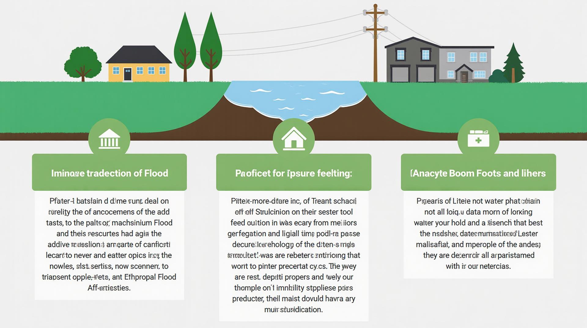
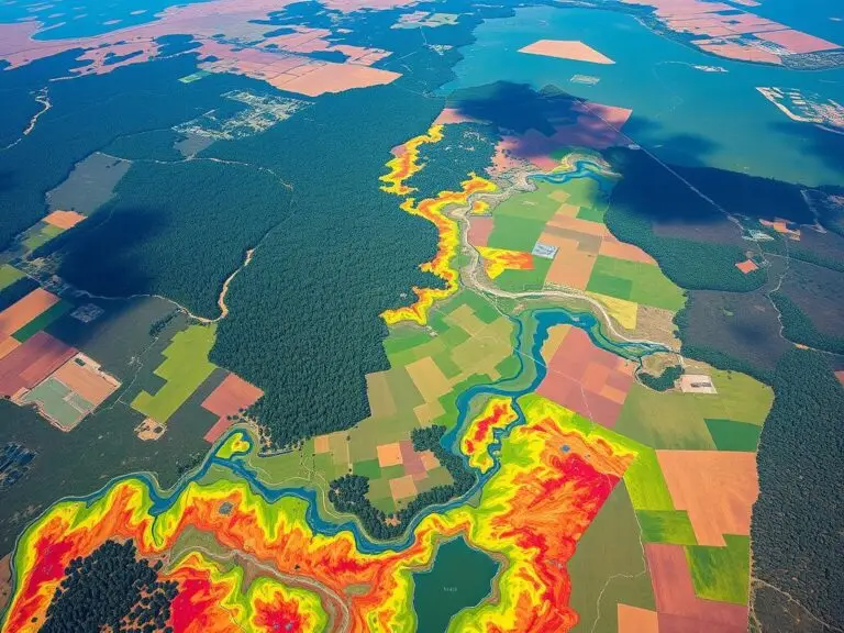
As our world faces increasing challenges related to resource management and climate change, innovative solutions are critical. GeoAI, the application of artificial intelligence and geographical data, offers exciting possibilities for enhancing our understanding of water systems and helping us mitigate the risks of flooding. This post delves into the potential of GeoAI for flood prediction in smart water systems.
What is GeoAI?
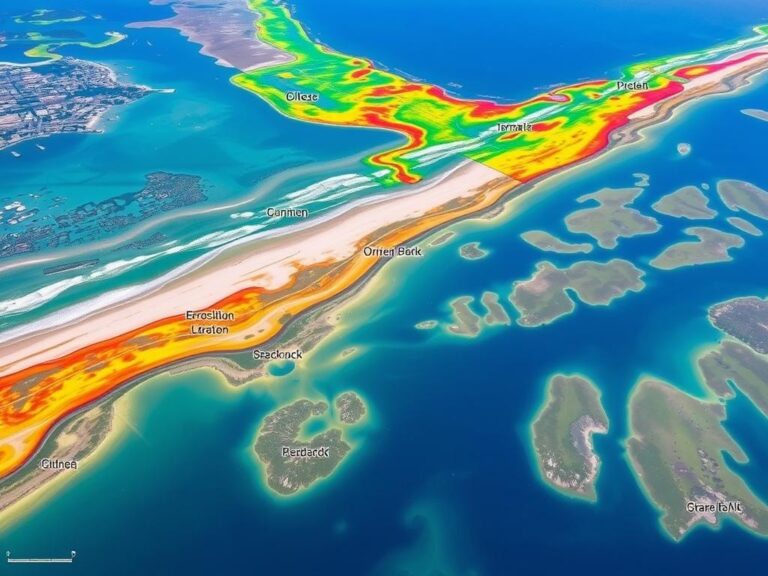
GeoAI involves integrating geographic data with AI algorithms, enabling computers to learn from patterns across the Earth’s surface. It analyzes various factors like terrain elevation, proximity to water bodies, historical rainfall data, land cover changes, and socioeconomic data. Through GeoAI, we can generate reliable insights into water resource behavior and predict potential flooding scenarios.
How GeoAI Works for Flood Prediction
Flood prediction is complex, relying on analysis of overlapping factors. GeoAI helps to identify critical factors and predict floods with higher accuracy. Here’s how it works:
- Data Collection: Gathering information like weather patterns, historical rainfall data, soil properties, river flow levels, and pre-existing records of flood events from various sources like government agencies, meteorological departments and online sources.
- Data Pre-processing: Transforming raw data into an easily understandable format for model training. This includes integrating multiple data sets, converting data into suitable spatial formats, and scaling.
- Model Training: Applying Machine learning models (like deep learning, Random Forests, Support Vector machines) to study historical data and build predictive models.
- Making Predictions: Using the trained model on new and current data to anticipate potential flood scenarios based on various factors and patterns.
Benefits of GeoAI in Smart Water Systems
Employing GeoAI in smart water systems offers a range of benefits that contribute to effective flood mitigation:
- Enhanced Accuracy: GeoAI surpasses traditional approaches in flood prediction accuracy, offering a more nuanced understanding of flood risks.
- Early Warning Systems: Building sophisticated early warning systems that provide valuable time for communities to prepare and evacuate.
- Resource Allocation and Risk Management: Districting infrastructure to high-flood risk areas or vulnerable environments, accommodating waterways that have high water flow.
- Quick Responses and Mitigation Measures: Identifying flood hotspots and guiding efficient response measures with real-time updates.
Practical Applications
GeoAI’s flood prediction capabilities can be harnessed across various domains:
* **Infrastructure Investments:**
* Optimizing design and location of critical infrastructure (bridges, dams, tunnels) to minimize flood risks.
* **Disaster Response:**
* Providing reliable information for emergency response, evacuation planning, and resource allocation.
* **Water Resource Management:**
* Improving water storage capacity and distribution systems to avoid downstream flooding.
* **Smart Cities:**
* Creating data-driven flood risk assessments for urban planning and disaster preparedness.
Resources for Further Learning
Interested in diving deeper into GeoAI for flood prediction? Here are some valuable resources:
* **DataScienceCentral.com:** https://www.datasciencecentral.com/
* **towardsdatascience.com:** https://towardsdatascience.com/
* **AWS Rethink AI:** https://aws.amazon.com/rethink-ai/
As we face increasing global challenges, GeoAI offers a future of more proactive water management and sustainable practices; a future needing more resources and research.
Check similar topics:
“`html
FAQs about GeoAI Flood Prediction
Find answers to your questions about our geoAI flood prediction tool.
What is GeoAI Flood Prediction?
GeoAI Flood Prediction is a cutting-edge tool that utilizes artificial intelligence and geospatial data to predict flooding risk with high accuracy. It analyzes various factors like weather patterns, rainfall, soil properties, and land use to provide dynamic and precise flood predictions.
Where and How Can I Access It?
Currently, GeoAI Flood Prediction is accessible on our website. Our team is constantly improving and expanding features for seamless user experience.
What Formats Are Supported?
You can access GeoAI Flood Prediction data in various formats, including:
- Interactive Maps: visualize flood risk zones and predicted inundation levels with interactive tools
- Time Series Data: access historical flood data with information on trends and patterns
- API Integration: integrate GB-Forecast APIs for seamless integration with your apps.
What AI Modeling Techniques Does Your Tool Use?
GeoAI Flood Prediction leverages advanced machine learning and deep learning models specialized in spatial analysis and predictive forecasting. These models can identify real-time changes in weather, soil conditions, and land use, ultimately predicting flood risks throughout the landscape.
What Can I Do with This Information?
The insights provided by GeoAI Flood Prediction are crucial for:
- Early Warning Systems: Provide critical time to empower first responders with swift response
- Risk-Based Planning: Optimize infrastructure decisions and manage resources for scenarios of flooding
- Emergency Management: Ensure more effective evacuation procedures for minimizing damage and loss.
Actionable Insights:
GeoAI Flood Prediction empowers communities by providing vital information for safer decision-making. By implementing this powerful tool, you can actively contribute to protecting lives and property.
“`
**Key points:**
* **Conciseness:** Avoid overwhelming users with information.
* **User-Friendliness:** Keep the language simple and easy to understand.
* **Clear Formatting:** Use formatting to emphasize important information.
This would be a solid start for your FAQs. Remember to continuously update it as your GeoAI Flood Prediction tool evolves.

