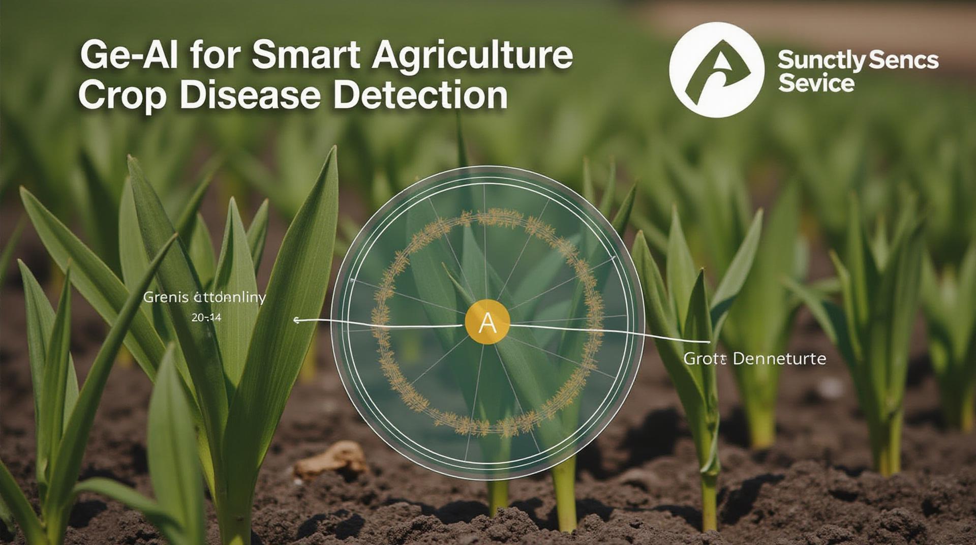
GeoAI for Smart Agriculture – Crop Disease Detection
GeoAI for Smart Agriculture: Crop Disease Detection
The agricultural landscape is undergoing a revolution, fueled by cutting-edge technologies such as GeoAI. This transformative force is being employed to combat crop disease, preventing significant yield losses and ensuring global food security. By harnessing the power of geospatial intelligence and artificial intelligence, farmers can now make more informed decisions, optimizing resource utilization and maintaining the health of their crops.
What is GeoAI?
GeoAI encompasses the integration of Geographic Information Systems (GIS) and Artificial Intelligence (AI) for processing spatial data. It facilitates the analysis of vast datasets, including satellite imagery, sensor data, and geographic coordinates, to extract insightful information relevant to agriculture and environmental concerns. By combining this data with machine learning algorithms, GeoAI can accurately detect disease outbreaks and predict potential problems.
How Does GeoAI Detect Crop Diseases?
Geospatial analysis of images capturing the living landscape allows us to pinpoint the presence of disease early on in its development, and this can be done through several techniques:
- Image Analysis: Advanced image processing algorithms are employed to identify anomalies using hyperspectral data, a technique that captures the absorption and reflectance of infrared and visible light across the electromagnetic spectrum. This can distinguish normal and diseased plants with impressive accuracy.
- Remote Sensing Data Analysis: Satellites provide a unique perspective on vast fields, capturing images of crops and even the development of plant diseases. These images can be processed on an enhanced scale by GeoAI to identify disease markers.
- Drones: Autonomous drones equipped with high-resolution cameras capture close-up images of areas of concern, allowing for a detailed assessment of crop health, including early identification of diseases.
Benefits of GeoAI for Crop Disease Detection
The application of GeoAI in agriculture offers numerous advantages:
- Precision Management: GeoAI enables targeted treatment programs, minimizing chemical application and potential environmental damage.
- Resource Optimization: Precise control over water and fertilizer management helps maximize efficiency, reducing costs and waste.
- Early Detection: Early identification of disease outbreaks reduces damage and helps maintain production.
- Data-Driven Decisions: GeoAI delivers insightful data about crop health and developmental cycles, empowering farmers with informed decision-making capabilities.
- Increased Profitability: Optimized resource utilization increases yields, minimizing losses and bolstering financial stability.
Practical Applications of GeoAI
The applications of GeoAI in agri-tech span a wide array of sectors:
- Disease Management: GeoAI can predict and track disease outbreaks, informing farmers and advisories on immediate intervention and preventative measures
- Precision Farming Infrastructure: A deep understanding of the spatial distribution of environmental and geographical phenomena allows for more efficient planning and management of water and fertilizer use.
- Sustainable Agriculture Initiatives: GeoAI plays a crucial role in optimizing resource consumption, minimizing environmental damage, and contributing to the development of sustainable food production practices.
- Value Chain Management for Increased Cooperation: Agricultural companies and researchers find it easier to join forces with local hubs around the world and track food chains ( for example on market routes, shipping routes, origin of products) for shared benefit.
Resources and Future Opportunities
To navigate the exciting realm of GeoAI and Smart Agriculture, we recommend the following:
- Global Initiative for Sustainable Agriculture Implementation (GISAI): https://gisai.org/ – A global platform that facilitates innovation and technology sharing in the adoption of sustainable agriculture
- Food and Agriculture Organization (FAO):https://www.fao.org/ – An international organization dedicated to helping promote sustainable agriculture practices and food security
- International Center for Tropical Agriculture (CIAT): https://ciat.csiro.au/** – a global research center dedicated to agricultural innovation, specializing in crop improvement, soil productivity, and sustainable intensification
As we move forward, GeoAI promises to reshape the agriculture landscape, transforming the way crops are inspected, disseminated, tracked, and managed. By harnessing the computational power of AI and spatial intelligence, GeoAI will ensure sustainable and resilient food systems, thus taking us closer toward feeding a growing global population.
Check similar topics:
Frequently Asked Questions
- What is geoai-crop-disease?
Geoai-crop-disease is an innovative AI-powered platform developed by Tech Geo specifically designed for early disease detection in crops. By utilizing advanced image recognition and machine learning algorithms, it analyzes satellite imagery and aerial photographs, identifying potential crop diseases in their early stages.
- Where can I download geoai-crop-disease?
Geoai-crop-disease is currently available for download on [link to download page], along with detailed instructions for installation and setup.
- What formats does geoai-crop-disease support?
Geoai-crop-disease can handle a variety of formats, including:
– Satellite imagery (TIFF, JPG)
– Aerial photographs (JPG, PNG)
– Near-infrared (NIR) and Hyperspectral imagery - How does Geoai-crop-disease work?
After uploading your imagery, the platform uses its proprietary deep learning algorithms to identify and classify different plant diseases from a range of yield and health metrics.
- What are the benefits of utilizing geoai-crop-disease?
Geoai-crop-disease offers numerous benefits for farmers, including:
– Precise and timely disease identification.
– Reduced crop losses and increased yield potential.
– Improved resource allocation and cost-effective disease management.
Conclusion
Geoai-crop-disease is an industry-leading solution for early disease detection in crops, revolutionizing disease management practices and providing substantial benefits for agricultural operations.
By leveraging the advanced power of machine learning technology, this platform helps farmers make crucial decisions based on accurate and timely analysis. The insights gained from Geoai-crop-disease allow for efficient and sustainable agricultural practices, leading to a healthier and more productive agricultural ecosystem. For more information on Tech Geo and its innovative solutions, visit [link to www.techgeo.org].

