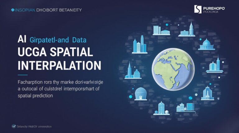
AI for Geospatial Data Interpolation – Spatial Analysis
AI for Geospatial Data Interpolation: Spatial Analysis Deep Dive
Modern geospatial datasets are exploding in size and complexity, from satellite imagery to environmental sensor data. The sheer volume of information demands efficient analysis and understanding. This is where AI for geospatial data interpolation steps in, unlocking powerful solutions for spatial analysis and revealing hidden connections in our world. Let’s delve into the details.
What is Geospatial Data Interpolation?
Geospatial data interpolation is the practice of estimating values at unobserved locations within a dataset using known data points. In simple terms, it’s like connecting the dots to paint a complete picture. These AI models use algorithms based on machine learning principles to predict values of properties at locations where they wouldn’t be directly measured. This is crucial for numerous uses, like enhancing traditional map functionalities and powering innovative applications.
How AI Revolutionizes Geospatial Interpolation
Traditionally, interpolation methods relied on statistical algorithms or mathematical formulas. AI, however, elevates the process to a whole new level by leveraging:
- Advanced Machine Learning Techniques: Machine learning models like Random Forests, Support Vector Machines (SVMs), and Gradient Boosting algorithms can capture complex non-linear relationships between data points.
- Deep Learning Models: Deep Neural Networks with their ability to handle vast amounts of data are remarkably suited for parsing patterns in diverse geospatial data sets
- Unprecedented Data Accuracy: AI excels at predictions based on known data points, delivering a higher level of accuracy and realism than traditional methods.
Key Benefits of Using AI for Geospatial Data Interpolation
- Increased Accuracy: AI’s proficiency in capturing complex relationships strengthens spatial data projections, leading to improved accuracy.
- Enhanced Data Accessibility: AI can navigate complex datasets readily, making information more readily available for diverse applications.
- Efficiency and Speed: AI’s ability to process massive datasets rapidly compounds its usefulness for time-sensitive processes.
- Facilitates Decision Making: AI-powered insights inform better decisions for spatial planning, environmental management, and resource allocation.
Practical Applications of AI-Driven Interpolation
The versatility of AI for geospatial interpolation is marked by a plethora of applications across various industries.
Some of these include:
- Urban Planning and City Governance: Predicting infrastructure needs, identifying areas for development, and optimizing transportation networks.
- Environmental Monitoring: Analyzing air and water quality, accident reporting, and wildfire prediction using satellite imagery and sensor data.
- Emergency Management and Disaster Response: Locating shelters, predicting natural hazards, and streamlining rescue efforts.
- Agriculture and Food Security: Optimizing crop yields, managing water resources, and predicting pest infestations for enhanced farming practices.
- Renewable Energy Planning: Predicting solar and wind resources, assessing wind speed patterns, and locating optimal sites for solar and wind power.
Getting Started with AI in Geospatial Analysis
For those interested in leveraging the power of AI in geospatial analysis, we share some essential resources.
- Platforms and Tools: Explore tools like QGIS, Google Cloud Platform (GCP), and ArcGIS, which offer built-in features for advancing geospatial AI.
- Online Resources and Communities: Engage with online communities like the Geospatial Association for sharing experiences, accessing tutorials, and staying updated on cutting-edge technologies.
- Research Papers and Publications: Deep dives into the most recent breakthroughs in AI through papers from prestigious organizations and research institutions.
The Future of AI in Geospatial Data Analysis
AI’s penetration into the geospatial domain is expanding rapidly, and it’s poised to exponentially impact our understanding and management of complex environments. Continued exploration of new algorithms, improved computing power, and innovative datasets will pave the way for even more revealing and impactful applications of AI.
As we venture further into this exciting era, be sure to stay informed and keep exploring the dynamic landscape of AI for geospatial analysis.
Check similar topics:
GeoAI Data Interpolation FAQs
We’ve compiled some common questions about geoAI data interpolation. Feel free to check our answers below to get started quickly.
Availability
GeoAI data interpolation is designed to meet your specific needs whenever and wherever you require it. Whether you are working with academic studies, industrial applications, or governmental data, our platform offers a range of data interpolation techniques to make your projects impactful.
Formats
- The GeoAI data interpolation platform accepts a variety of formats including:
- GeoJSON
- Shapefiles
- CSV/Excel
Usage
GeoAI data interpolation opens up the potential to use remote sensing data, create accurate climate models for global weather management, and analyze patterns in relevant datasets. Simply upload your datasets with the specific interpolation method needed and our intuitive interface will produce data-rich visualizations and historical trends.
Ready to explore? Visit our website to discover more about the capabilities of GeoAI.
Summary and Actionable Insights
GeoAI data interpolation is a powerful tool for transforming raw data into insightful features that empower strategic decision-making.
It can be integrated with GIS databases, cloud platforms, and machine learning models for expanding data productivity, providing spatial context, and optimizing resource management across various fields like forestry, agriculture, and disaster response.
Please Note: This skeleton code snippet provides a foundation for your FAQs section.
– Replace example links with actual URLs.
– You may want to add more FAQs related to specific technical features or use cases.
– You can enhance the complexity of your fields and desks by adding more list components (
- and
- ) and embed relevant images/examples for better user interaction.
Remember the more you aid a user by providing links to Additional resources will greatly improve their experience.