AI in Geospatial Data Mining – Pattern Discovery
AI in Geospatial Data Mining: Pattern Discovery
In today’s data-driven world, understanding geographic information is crucial. Geospatial data, encompassing everything from satellite images to survey data, holds immense potential to unravel hidden insights and solve critical real-world problems. But acquiring, analyzing, and making sense of this massive amount of data can be daunting. Enter the exciting field of AI in Geospatial Data Mining – Pattern Discovery, where artificial intelligence steps in to automate the process of extracting valuable knowledge from these vast datasets.
What is Geospatial Data Mining?
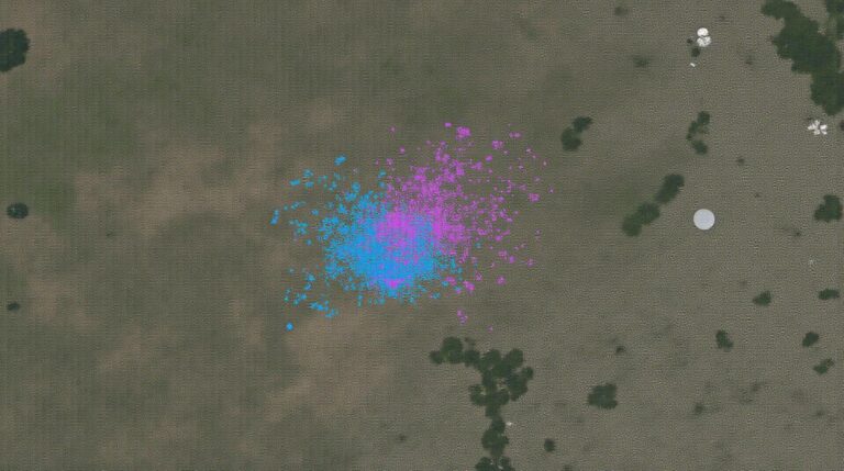
Geospatial data mining is the process of utilizing advanced computational algorithms and machine learning techniques to delve deep into geographic data. This involves sifting through massive volumes of geospatial data, identifying patterns, and making meaningful, even predictive, inferences. Unlike traditional methods which rely on linear analysis, geospatial data mining seeks to uncover hidden correlations, clusters, and trends that could not be easily detected by manual study.
How Does AI enable Pattern Discovery in Geospatial Data Mining?
AI & Machine Learning are revolutionizing Geospatial Data Mining by offering a powerful toolbox that can tackle complex challenges. Here’s how:
- Supervised learning: Perfectly suited for tasks like predicting a property’s resale value based on location, environmental factors, and housing features.
- Unsupervised learning :Identifies patterns even without explicit labels, like grouping land parcels by soil type or discriminating traffic flow based on a single day’s road data.
- Semi-Supervised Learning’ : Combines labeled and unlabeled data to train a model; effectively used for traffic analysis. A guided labeling process for new data makes it more efficient and reliable.
Machine Learning Algorithms
Key Advantages of AI in Geospatial Data Mining
The use of AI offers several advantages for geospatial data mining, particularly for driving informed decision-making:
- Increased Efficiency & Productivity: Speeding up process from manual analysis to machine learning algorithms makes geographic data interpretation both quantitative and drastic.
- Improved Accuracy & Precision: Reduces noise and bias in analysis, leading to statistically sound conclusions that enhance decision making through insights and predictions.
- Novel Insight & Anomaly Detection: Automation of patternization allows for deeper exploration and leads to unexpected new patterns in data analysis.
- Geo-Spatial Analysis Optimization: Understands the interconnectedness of data from a variety of sources like sensors, satellite imagery, and geological data for more effective analysis.
A significant advantage of modern AI is its capacity for utilizing domain-specific knowledge. It can adapt to diverse geospatial datasets and naturally integrate complex geo-spatial relationships. This greatly enhances the power of AI in solving real-world scenarios.
Practical Applications of AI pattern discovery
- Disaster Response: Rapidly identifying disaster-prone areas, real-time land assessments, transportation network footprint, crowdsourced data collection before natural disasters.
- Smart Agriculture: Optimizing crop yield through predictive analytics, irrigation scheduling, and pest protection predictions, automated surveillance and control systems.
- Infrastructure and Planning: Predicting traffic flow, urban development, identifying environmentally areas at risk for natural disasters, city planning and management.
- Urban Exploration and Analysis: Mapping social and economic data visualizations; comparing urban landscapes over time to recognize changes and adapt planning strategies.
Resources for Further Exploration
The field of Geospatial Data Mining is continually evolving, and numerous excellent resources are available to expand your knowledge:
- Journals :
IEEE Transactions on Geoscience and Remote Sensing ( Geo / Remote Sensing) publishes highly regarded research covering the most cutting-edge advancements in Geospatial Data Mining and.
- Online Communities:
Many online platforms support Geospatial Data Mining, including GeoNet, GeoData.org and many Machine Learning specificgroups on platforms like Slack.
- Academic Databases:
Academic databases like IEEE Xplore and ScienceDirect are excellent sources of academic papers and scholarly resources for comprehensive research on AI in Geospatial Data Mining.
Check similar topics:
FAQ – GeoAI Pattern Discovery
GeoAI Pattern Discovery FAQs
We’re excited to explore geoAI Pattern Discovery with you! Feel free to browse the FAQ below to learn more about its availability, formats, usage, and more. If you have any unresolved queries, please reach out to our help desk at support@techgeo.org.
Availability
GeoAI Pattern Discovery is available as a web-based service, accessible on the techgeo.org platform.
Formats
- GeoAI Pattern Discovery uses a flexible and customizable data format. This allows you to input and analyze data in various ways, tailored to your specific needs.
- We provide documentation and interactive examples to guide you in using different data formats.
Usage
GeoAI Pattern Discovery enables you to extract and analyze geographic patterns. This involves public datasets where the user uploads their spatial analytical queries or data and receive an efficient model.
Our platform provides user-friendly tools for accessing, visualizing, and interpreting geoAI patterns in real-time.


