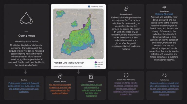
AI for Geospatial Data Smoothing – Noise Reduction
AI for Geospatial Data Smoothing – Noise Reduction
In the increasingly data-driven world of geographically-related information, analyzing impactful insights from immense spatial datasets can be challenging. However, with the emergence of AI and Machine Learning, a new level of detail and usability is emerging, specifically when addressing the issue of “noise reduction” from geospatial data.
What is Geospatial Data Smoothing?
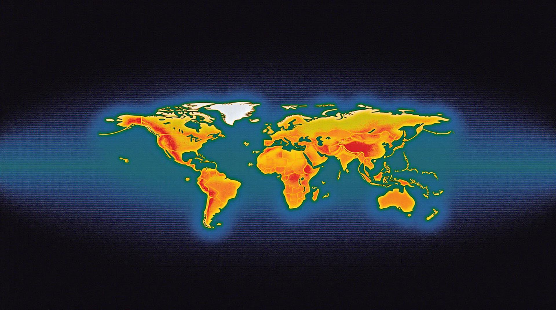
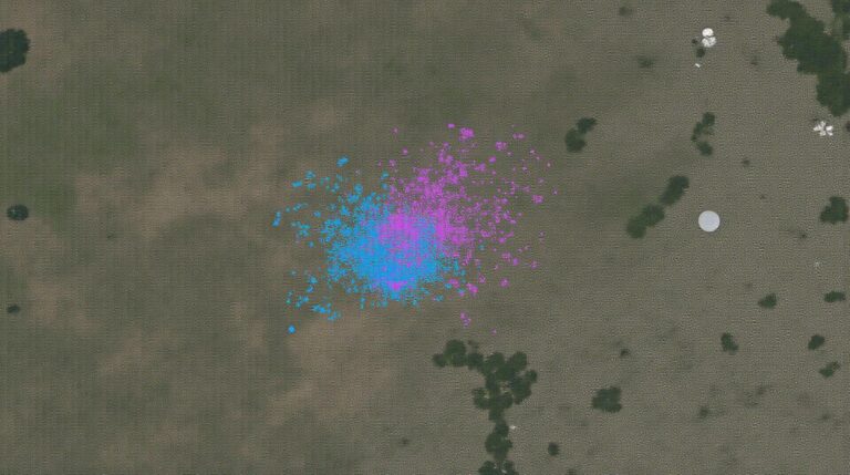
Geospatial data, like satellite imagery, drone footage, or street view maps, often contains variations and noise that muddy its true picture. These noise sources can significantly hinder analysis effectiveness by obscuring important features, causing inaccurate insights, and suppressing subtle patterns.
How AI Addresses Geospatial Noise
AI techniques offer an elegant solution to this challenge: moving beyond manual data cleaning and introducing intelligent methods for smoothing. This involves building sophisticated models that:
- **Identify Patterns:** Detect and isolate recurring noise patterns that affect the data’s visual quality.
- **Filter Simulated Noise:** Train models to identify and remove noise that is believed to be spurious or irrelevant to the real data points.
- **Accurate Smoothing:** Aim to enhance the transparency of the data so features are more visible while also correctly capturing the subtle details.
Benefits of Using AI for Geospatial Data Smoothing
The implementation of AI-powered noise reduction not only elevates data quality but also delivers a multitude of benefits, such as:
- Increased Accuracy:** Focuses on the structure and essence of the data. This is key area where human vision can pale compared to machine learning.
- Enhanced Efficiency:** Automates the complex data pre-processing that was previously time-consuming and demurin. Automating this beforehand reduces costs and manpower loss.
- Improved Data Insight: Provides clearer, more nuanced information from the supposedly ‘wild’ data; more detailed data is crucial for making informed decisions on land managesments, planning, and environmental monitoring.
Practical Applications of AI-Driven Geospatial Smoothing
The applications of this technology span a remarkable range:
- Urban Planning:** AI-powered smoothing can enhance satellite imagery for better identifying urban infrastructure and monitoring urban sprawl.
- Environmental Monitoring:** Identify subtle changes in land cover patterns, deforestation risks, and wildlife patterns.
- Precision Agriculture:** Optimizes crop monitoring, forecasting, and resource management solutions
- GIS Analysis:** Improve access to better definable sites for geospatial data, including mapping areas of conservation or ecological risks.
Key Resources and Tools for Geospatial AI
For those eager to explore the subject, here are some helpful resources:
- **NVIDIA AirSim AI Commons:** [https://ai.nvidia.com/airsim](https://ai.nvidia.com/airsim): A comprehensive platform offering a suite of datasets, plugins, and tools for simulating real-world scenarios, including geospatial AI applications.
- **Google Earth Engine:** [https://earthengine.google.com/](https://earthengine.google.com/): A powerful cloud-based platform for processing vast amounts of Earth observation data, especially suitable for geospatial analysis.
- **Hugging Face:** [https://huggingface.co/](https://huggingface.co/): A community-driven resources hub offering the latest advancements, datasets, and tools for ML models, including geospatial AI.
Conclusion
AI empowers Geospatial data Smoothing, paving the way for more confident and insightful interpretations. As the technology continues to mature, expect it to further revolutionize fields and empower a data-driven world.
Check similar topics:
FAQs
Have some questions about geoai-data-smoothing? We’ve got you covered.
- What is geoai-data-smoothing? Geoai-data-smoothing is a process that improves the accuracy and reliability of geographic data by mitigating the negative effects of noisy or inconsistent data.
- Is geoai-data-smoothing available for download? You can access geoai-data-smoothing on our application platform at www.techgeo.org/geoai-data-smoothing/download.
- What data formats does geoai-data-smoothing support? Geoai-data-smoothing supports various geospatial data formats, including KML, GeoJSON and Shapefiles.
- How do I use geoai-data-smoothing? For detailed instructions on how to use geoai-data-smoothing, refer to our documentation at www.techgeo.org/geoai-data-smoothing/documentation.
Summary
Geoai-data-smoothing is an invaluable tool for ensuring the accuracy and reliability of geographic data, especially in fields like urban planning, environmental science, and transportation management. By reducing outliers and noise, it gives you a clearer picture of the real world, facilitating better decision-making. Learn more and access the technology today.
Let me know if you’d like to add more Q&A items to this FAQ section.

