GeoAI for Smart Water Quality Monitoring – Pollution Detection
GeoAI for Smart Water Quality Monitoring – Pollution Detection
The need for reliable and efficient water quality monitoring is paramount. But traditionally, this process has been time-consuming, expensive, and prone to inaccuracy. Enter GeoAI: the fascinating intersection of Artificial Intelligence (AI) and Geographic Information Systems (GIS). This potent combination is revolutionizing pollution detection, enabling us to swiftly identify sources of contamination, predict water quality changes, and provide crucial information for decision makers.
What is GeoAI?
GeoAI combines advanced AI algorithms with geospatial tools. It leverages the power of these technologies to collect, analyze, and visualize vast amounts of real-time and historical data from multiple sources—including sensors, satellite imagery, and publicly available information.
- Data Integration: GeoAI seamlessly integrates data from diverse sources like remote sensing, water quality sensor networks (utilized in different ways depending on the regional need), and geographical datasets.
- Machine Learning and Deep Learning: It utilizes advanced machine learning and deep learning algorithms for pattern detection, anomaly identification, and prediction.
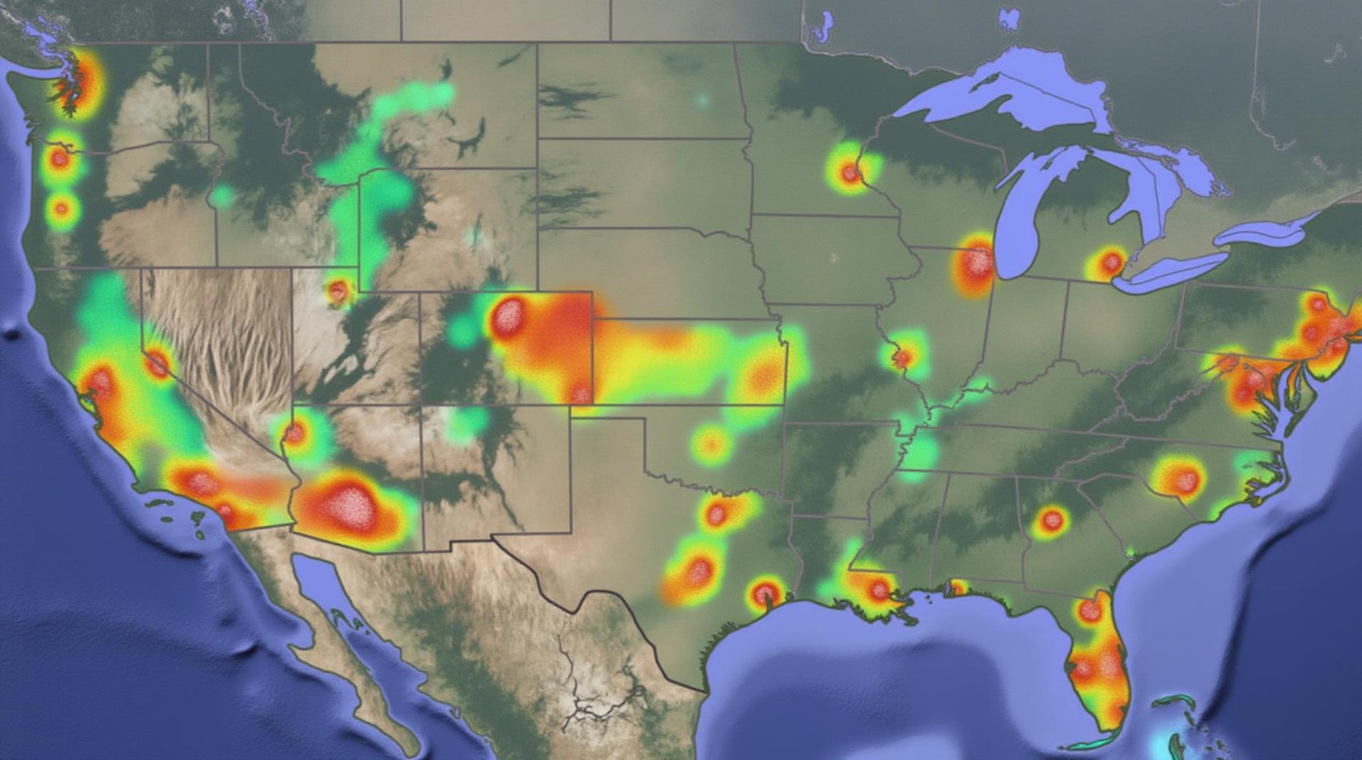
- Visualization and Mapping: GeoAI creates compelling visual representations like maps and graphs that offer a clearer picture of geographic patterns, trends, and events related to water quality.
Key Benefits of GeoAI in Water Quality Monitoring
GeoAI offers considerable advantages for water quality monitoring and pollution detection. Here are just a few:
- Real-time Monitoring: GeoAI allows for consistent and timely monitoring of water quality, fostering rapid response to pollution events and mitigating potential harm to ecosystems and public health.
- Enhanced Accuracy: AI algorithms can detect anomalies in water quality that might otherwise be missed, ensuring more precise pollution identification and risk assessment.
- Early Warning Systems: GeoAI models can be trained to predict water quality changes and forecast pollution events, creating early warning systems for potential issues.
- Cost Optimization: By improving efficiency and targeting resources effectively, GeoAI can minimize costs associated with traditional water quality monitoring methods.
- Reduced Water Contamination: GeoAI can identify and target sources of pollution, ultimately contributing to less overall water contamination.
- Data-Driven Insights: GeoAI unlocks valuable insights hidden within water quality data, helping researchers, policymakers, and stakeholders make informed decisions.
Practical Applications
The potential applications of GeoAI for water quality monitoring are vast
Here are just a few examples:
*
- Lake Monitoring: Monitoring water clarity, nutrient concentrations, and algae blooms in lakes and reservoirs.
GeoAI can identify patterns in pollution sources, allowing for targeted interventions to protect valuable water sources. - River Pollution: Streamlining the detection and tracking of pollution outbreaks along rivers, highlighting contaminant sources and their efficacy.
- Coastal Waters: Area-based monitoring for pollution events in coastal waters. GeoAI can help distinguish harmful algal blooms and track the movement of pollutants between land and sea.
- Groundwater Quality: AI can help understand the complex nature of groundwater contamination in urban, industrial, or agricultural areas. GeoAI helps projects track the routes pollution takes as it moves through the water cycle.
Resources for Further Exploration
The world of GeoAI for water quality monitoring is rapidly evolving. Stay informed by exploring these resources:
* United States Department of Agriculture – National Water Center
* U.S. Environmental Protection Agency – Water Resources Research
* Watermap Organization
By leveraging the power of GeoAI, we can achieve a new era in water quality monitoring – one that is more efficient, responsive, and proactive. We can use this new knowledge to address water quality challenges and protect the valuable resources that sustain life on Earth.
Check similar topics:
## FAQs: GeoAI for Water Quality
Welcome to the exciting world of GeoAI for Water Quality! This section answers some common questions you might have about the technology.
### What is GeoAI for Water Quality?
GeoAI for water quality refers to using artificial intelligence (AI) technologies like machine learning and deep learning to analyze geographic data and water quality indicators. It aids in understanding and improving our analysis and response to water quality issues.
### How Does GeoAI Work?
GeoAI algorithms use vast datasets, including satellite images, sensor readings, weather patterns, and historical water quality data, to generate insights and predictions. These analyses can then be used to identify pollution sources, predict future water quality deterioration, and locate areas requiring intervention.
### Is GeoAI for Water Quality Available Right Now?
Yes! GeoAI tools are generally accessible and increasingly integrated into various platforms and software. You can find resources and tools online at www.techgeo.org
We are currently in the early stages of this technology’s evolution and are continuously improving our algorithms and making them more accessible, user-friendly, and beneficial to everyone.
### What Products and Formats are Available for GeoAI for Water Quality?
Several products and formats give you access to GeoAI. Some common features include:
* **Software as a Service (SaaS):** Cloud-based platforms like our GeoAI water solutions offer accessible and efficient processing of AI tasks.
* **APIs:** These code libraries allow developers to integrate GeoAI into existing systems or create new applications.
* **Data Visualization Tools:** Combining the power of GeoAI with website functionalities enables consistent, engaging, and understandable communication about water quality issues.
### How Can I Use GeoAI for Water Quality?
The potential applications of GeoAI are vast and diverse, including:
* **Monitoring Water Quality:** Dynamic changes in water quality become readily discernible, highlighting potential contamination.
* **Predicting Water Quality Issues:** GeoAI can anticipate problems before they occur based on historical patterns and current conditions.
* **Protecting Water Resources:** Proactive management prioritizes efficient irrigation and waste management to prevent environmental damage.
### Conclusion: The Importance of GeoAI for Water Quality
The power of GeoAI in water quality management goes beyond traditional methods. It allows us to:
* **Act Faster and More Efficiently:** Detect and respond to problems quickly, minimizing damage to ecosystems and human health.
* **Better Understand Our Water Resources:** Real-time analyses enable better insights into water flow, contamination, and vulnerability.
* **Promote Sustainable Water Practices:** Planning for water scarcity and promoting responsible use become easier with GeoAI-powered strategic planning.
GeoAI is revolutionizing our water quality management, paving the way for a more sustainable and resilient future.
### What Can I Do to Contribute?
Visit www.techgeo.org to explore how you can join the movement and contribute your knowledge and experiences to advance this important field.

