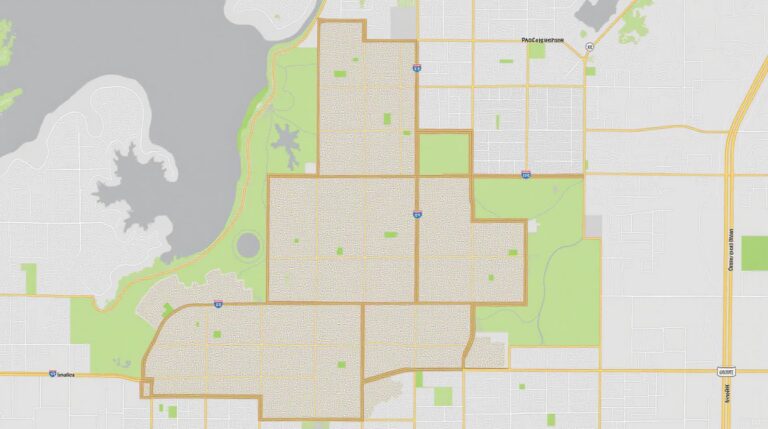
AI in Geospatial Data Transformation – Data Conversion
Harnessing AI for Geospatial Data Transformation: The Power of Data Conversion
The world is drowning in data. From satellite imagery to sensor readings and maps, geospatial data is a vast and diverse resource representing our planet. But transforming this raw information into usable insights requires effective tools, and at the forefront of this transformation lies the power of AI.
What is Geospatial Data Transformation?
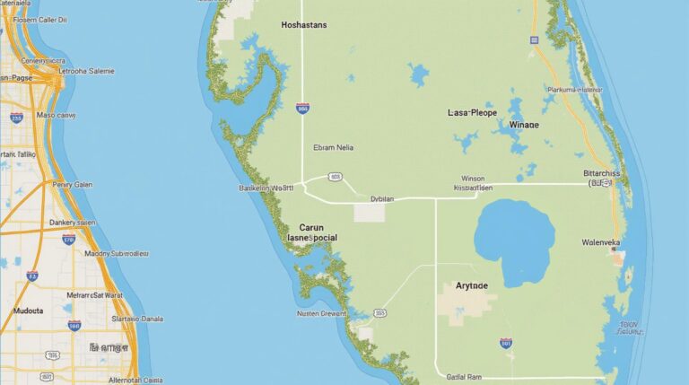
Geospatial data transformation refers to the process of converting geospatial data from one format to another. This flexibility is crucial for various applications, from understanding disease patterns to optimizing transportation routes.
The Transformative Effect of AI
AI has become a game-changer in geospatial data transformation. It can leverage powerful algorithms to automate these processes, improving efficiency and accuracy. Here’s a closer look:
Key Features:
- Advanced Analysis & Prediction: AI algorithms can detect patterns and trends within geospatial data that would be incredibly challenging for human analysts to perceive.
- Semantic Understanding: AI can understand complex meanings inherent in geospatial data, such as the context of geographic events or physical properties at specific locations.
- Precision Data Conversion: AI can automatically handle various data formats, including multispectral imagery, LiDAR data, and GPS coordinates, enabling seamless integration of diverse datasets.
- Streamlined Automation: AI systems can automate many data processing steps, freeing up human analysts to focus on higher-level tasks such as interpretation and analysis.
Benefits of AI-powered GeoAI:
The benefits of employing AI in geospatial data transformation are numerous:
- Enhanced Accuracy: AI algorithms ensure improved data accuracy, resulting in more reliable insights.
- Faster Processing: AI-driven tools significantly accelerate data processing, even with massive datasets.
- Data Visualization Enhancements: AI delivers sophisticated map-making systems capable of automatically generating and highlighting key data points.
- Accessibility for Non-Developers: AI tools offer user-friendly interfaces and APIs, making geospatial data science accessible to a wider range of people.
Practical Applications:
The potential applications of AI in geospatial data transformation are incredibly broad:
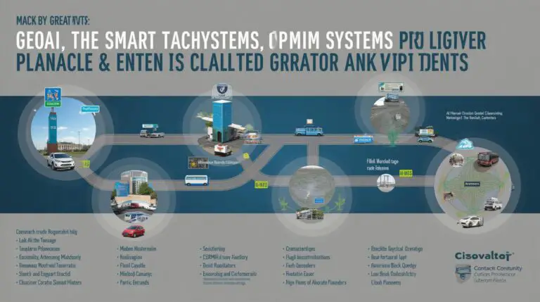
- Urban Planning: Analyzing traffic patterns within cities and optimizing road networks based on real-time data.
- Environmental Monitoring: Tracking deforestation, analyzing water quality, and revealing patterns in disease outbreaks.
- Climate Change Studies: Predicting and mitigating the impacts of climate change by analyzing shifts in weather patterns and rising sea levels.
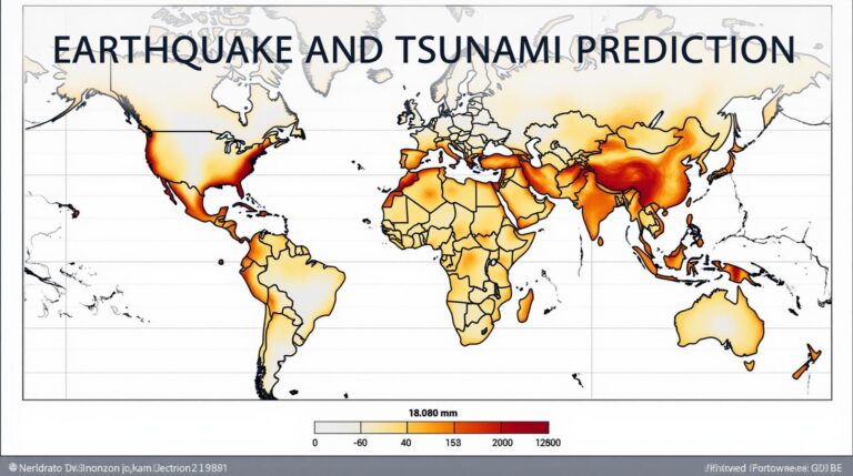
- Disaster Response: Rapidly assessing the impact of natural disasters like floods, earthquakes, and wildfires, helping facilitate effective response strategies.
Resources
For those wanting to delve deeper into AI for Geospatial Data Transformation, here are a number of resources essential for getting started:
- Getting Started with Python for Geospatial Data Science: DataCamp
- Open Source Libraries: GeoPandas (Pandas for Geospatial Data), scikit-learn (Machine Learning Algorithims), Rasterio
Ready to Enhance Your Geospatial Data Analysis?
The world is becoming increasingly data-driven. AI has emerged as a critical enabler for transforming raw information into actionable insights. Embracing AI tools for geospatial data transformation empowers analysts, scientists, and researchers with powerful, efficient, and accurate tools for understanding our planet and driving innovation.
Check similar topics:
FAQs – GeoAI Data Transformation
Get answers to frequently asked questions about geoAI data transformation.
What is GeoAI Data Transformation?
GeoAI data transformation is the process of preparing geographically relevant data for analysis and decision making. It involves adjusting and refining data based on geographic context, including spatial relationships, locations, and distributions.
What data is used in transformations?
GeoAI data transformation can use a wide range of datasets, including real estate datasets, global resource dataset, sensor data, and more.
Where does GeoAI Data Transformation take place?
GeoAI data transformations happen within geographic information systems (GIS) or through cloud-based solutions using powerful platforms like Google Earth Engine.
Can I use GeoAI for different purposes?
GeoAI data transformation can be used in various applications, including:
- Urban planning and resource management.
- Environmental monitoring and risk management.
- Transportation planning and optimization.
- Business intelligence and market research.
Is GeoAI Data Transformation available for anyone?
GeoAI tools and platforms are accessible through various providers like GeoAI Solutions, offering different user levels and functionalities to suit various needs.
What are the key formats for GeoAI Data?
Commonly used formats include KML, GeoJSON, GeoTIFF, shapefiles, and many others. These formats provide well-defined structures for geographical data sharing and processing.
What tools does GeoAI Data Transformation use?
GeoAI Data Transformation uses various software and technologies, including:
- ArcGIS
- QGIS
- PostgreSQL
- Google Cloud Platform (GCP)
- Amazon Web Services (AWS)
Where can I learn more about GeoAI Data Transformation?
Explore our blog for insightful articles about GeoAI Data Transformation.
How can GeoAI Data Transformation benefit my organization?
By subjecting data to spatial analysis & conversions, you can gain insights in various areas of business. For instance, you can:
- Optimize resource allocation by understanding spatial patterns.
- Understand your supply chain by analyzing the flow of goods.
- Enhance advertising campaigns by targeting specific geographical segments.
Conclusion
Remember: This is just a template. You can further expand on each answer to enhance the FAQ section for your website. Also, ensure to have clear, concise, and informative answers to the specific questions on your GeoAI data transformation aspect.


