AI for Geospatial Data Augmentation – Enhanced Datasets
AI for Geospatial Data Augmentation – Enhanced Datasets
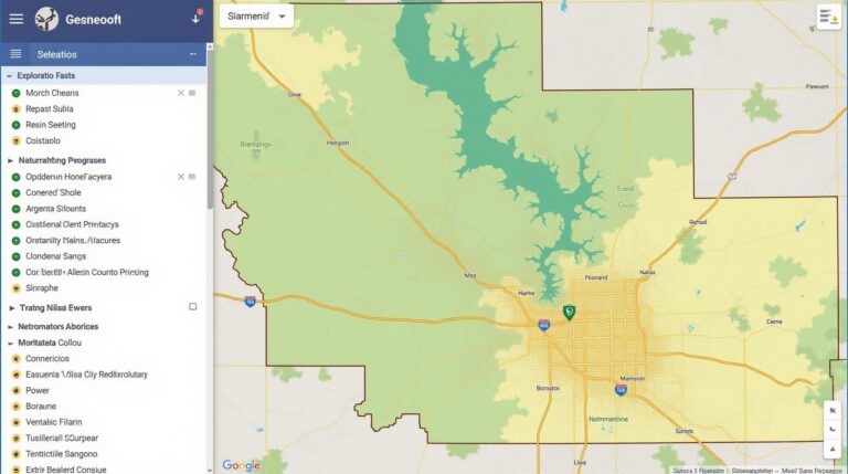
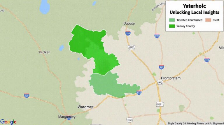
Geospatial data plays a crucial role in numerous industries, from environmental monitoring to urban planning. However, there is often a lack of high-quality data for training machine learning models, especially in areas with scarce observations or diverse environments. Enter artificial intelligence and data augmentation – it’s revolutionizing how we work with geospatial data, leading to more accurate and actionable insights.
What is Geospatial Data Augmentation?
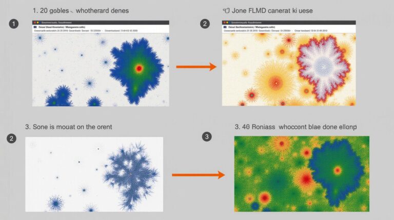
Geospatial data augmentation is a technique that uses Artificial Intelligence to expand existing geospatial datasets by generating synthetic, realistic, or relevant additional data. These augmented datasets often depict simulated or engineered data points, enriched with properties simulated by algorithms to improve the size and quality of training. This technology effectively tackles the critical issue of data scarcity in many geospatial datasets.
How AI Reshapes Geospatial Data
- AI Image Synthesis: Innovative models like GANs (Generative Adversarial Networks) produce synthetic images, including buildings, roads, plants, and water bodies, enriching existing datasets with detailed imagery of real and unseen locations. This technique is particularly vital for areas with sparse imagery or limited real-world data.
- Environmental Change Forecasting: AI algorithms can analyze historical geospatial data and detect trends. They generate synthetic data representing future climate patterns, urban changes, and environmental events, aiding in the prediction of natural disasters, impacting resource management, and informing policy decisions
- Object & Feature Enhancement: AI can supplement existing geospatial material by digitally embedding or adding features or objects to existing imagery or models. This technique particularly helps with satellite images where precise object identification can be challenging and improves the accuracy of targeted analysis.
Benefits of Utilizing AI for Geospatial Data Augmentation
- Improved Model Accuracy and Generalizability: Ample data improves the robustness and accuracy of machine learning models, leading to more reliable predictions and insights.
- Reduced Data Acquisition Costs and Time to Market: Generating datasets through AI eliminates the need for expensive, time-consuming fieldwork for acquiring real-world data. This reduces acquisition costs and refines data deployment.
- Enhanced Decision-Making: AI-generated datasets provide decision-makers with more detailed, realistic, and comprehensive visual representations. This in-depth information informs strategic decision-making across various sectors.
Applications of AI-powered Data Augmentation
Many industries benefit from the impressive applications of AI-powered data augmentation:
- Disaster Response and Mitigation: The technology helps simulating disaster scenarios and predicting vulnerabilities, enabling quicker, more strategic responses and proactive mitigation efforts.
- Urban Planning and Design: AI facilitates traffic flow optimization, provision of parking space and improved infrastructure designing using data augmented with realistic traffic and environmental situations.
- Environmental Monitoring and Conservation: The technology helps monitor deforestation, track wildlife movement, and analyze pollution patterns, facilitating ecological impact assessment and conservation efforts.
- Precision Agriculture: Generative AI assists in creating synthetic data for improved crop yield prediction. This allows farmers to optimize fertilizer and pesticide usage, enhance crop production, and minimize environmental impact.
Resources for Further Exploration
- paperswithcode.com: Start here to stay up-to-date with the latest research in AI for geographic space.
- Kaggle: Access a wide range of geospatial datasets and contribute to the community through competitions and collaboration.
- Earthlab OpenAI Explorer: A remarkable platform for exploring geoAI projects and tools along with understanding the ethical concerns.
Conclusion
Geospatial data augmentation with AI is truly transforming the wide application range of machine learning, offering solutions that were previously out of reach. This groundbreaking technology accelerates progress across multiple sectors, enabling more accurate predictions, optimized resource utilization, and better impactful strategies to address global challenges.
Check similar topics:
GeoAI Data Augmentation FAQs
Find answers to your most common geoAI data augmentation questions. This guide covers availability, user-friendly formats, automating workflows, and more.
What is GeoAI Data Augmentation?
GeoAI data augmentation involves expanding your geospatial dataset through computational techniques. This process generates synthetic data that replicates real-world scenarios and improves machine learning models. Imagine it as creating more realistic training data for your geoAI algorithms, boosting their accuracy and robustness.
How is GeoAI Data Augmentation Better?
Traditional geo-based AI models frequently encounter challenges when dealing with limited datasets. GeoAI data augmentation allows you to:
- Enrich datasets with synthetic data, overcoming shortcomings of a sparse dataset.
- Enhance model generalization capabilities and prevent overfitting.
- Boost model performance representative of real-world conditions.
What Formats are Supported?
We support a variety of GIS and remote sensing data formats, including:
- CSV, shapefiles, GeoJSON, KML, GeoTIFF, Sentinel imagery (including Sentinel-1 and Sentinel-2).
- We even handle image complements for an even wider range of uses.
Where Can I Learn More?
[Link to our GeoAI use-case page] ([https://www.techgeo.org/use-cases/geoai-applications](https://www.techgeo.org/use-cases/geoai-applications)) gives a great overview of geoAI data augmentation for efficiency and power!
Who Can Benefit from This?
GeoAI data augmentation is incredibly useful for many types of organizations and practitioners:
- **City Planning and Urban Development:** Improve the quality and performance of planning decisions using the more comprehensive datasets.
- **Agriculture and Natural Resource Management:** Reconstructing and analyzing satellite imagery of crops.
- **Environmental Protection:** Identify areas susceptible to natural hazards or deforestation.
- **Disaster Management:** Simulating natural disasters for effective emergency planning.
- **Maritime and Offshore Sectors:** Environmental modeling for a variety of projects.
Deciding on the Best Approach is Key
Choosing the right augmenting method for your data is crucial. Let’s consider:
- Are you aiming for realistic landcover change simulation?
- Do you need realistic, dense, or sparse surrounding environment data?
- What’s the purpose of your model? Are there any inherent bias concerns?
Actionable Insights and Conclusion
GeoAI data augmentation is a powerful tool to address model-training challenges and optimize geoAI model performance. By exploring the diverse techniques available, you can take advantage of increased accuracy, build reliable applications, and enhance your understanding of the world around you.
Contact our experts at
[https://www.techgeo.org/contact](https://www.techgeo.org/contact) to discuss how we can deliver enhanced geoAI solutions for your organization.

