AI for Geospatial Data Compression – Efficient Storage
AI for Geospatial Data Compression – Efficient Storage
The ever-growing volume of geospatial data poses a formidable challenge for storage, analysis, and visualization. Traditional methods often struggle to keep pace with the increased demand for real-time insights and efficient mapping applications. High-resolution satellite imaging, sensor data from drones, and massive crowdsourced data all contribute to a staggering growth in geospatial files.
What is AI for Geospatial Data Compression?
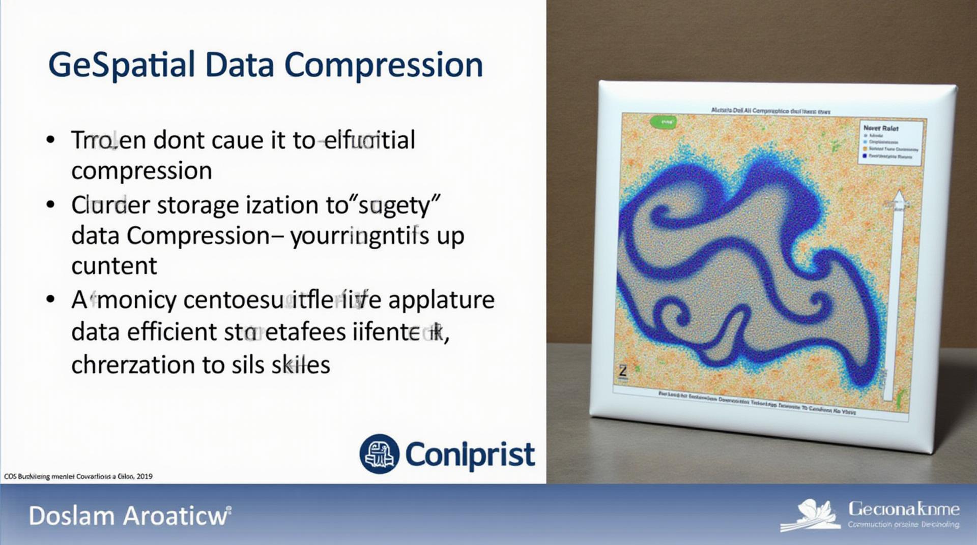
AI-powered techniques utilize machine learning algorithms to analyze the inherent structure and patterns within geospatial data. This helps them generate compression strategies that effectively reduce data size without compromising key information. This results in more efficient storage solutions and ultimately faster processing speeds and accessibility.
Key Features of AI-Based Compression Methods in Geospatial Data
- Data-driven Compression: AI analyzes data patterns, learning how to encode features and relationships in a space-efficient manner.
- Adaptive Compression: AI dynamically adjusts compression levels depending on the specific data characteristics and typical usage patterns.
- High Compression Ratios: Advanced AI algorithms can achieve considerable reduction in file sizes compared to traditional methods.
- Reduced Computation Time: By optimizing data storage and retrieval, AI-powered compression contributes to faster processing times for geospatial applications.
Benefits of AI-enhanced Compression for Geospatial Data
- Cost Savings: Decreased storage and processing resources mean significant reductions in cloud infrastructure costs.
- Improved Accessibility: Faster and more efficient access to archived data empowers informed decision-making for future projects.
- Scalability: AI-driven compression adapts well to the ever-increasing volume of diverse geospatial data.
- Enhanced Spatial Analysis: Efficient storage enables faster exploration, visualization, and analysis of spatial data.
- Real-time Solutions: AI allows for real-time insights and dynamic updates to geospatial maps and information systems, enhancing immediate decision-making capabilities.
Practical Applications of AI for Geospatial Data Compression
AI-driven compression technology is rapidly transforming various geospatial application domains:
- Disaster Response and Mitigation: Quickly generating detailed analysis and mapping from aerial imaging data during earthquakes, floods, etc.
- Precision Agriculture: Assisting with efficient land management practices through optimized crop monitoring and fertilizer distribution strategies
- Smart Cities: Facilitating real-time traffic management, analyzing pollution patterns, and customizing urban infrastructure development.
- Environmental Monitoring: Publishing accurate environmental data with minimal storage footprint for long-term research and conservation efforts
Resources to Learn More and Explore
To delve deeper into the captivating realm of AI-powered geospatial data compression, consider exploring these valuable resources:
- Towards Data Science – Articles that cover various aspects of AI-driven data compression.
- Databricks Blog – In-depth insights on using machine learning for geospatial data compression.
- ArXiv – Research papers focusing on specific AI-based compression techniques.
Call to Action
In conclusion, AI for Geospatial data compression represents a promising advancement in data management and its applications are rapidly expanding across various sectors. As the technology matures, it promises to usher in a new era of more cost-effective, efficient, and readily accessible insights from complex geospatial information.
Check similar topics:
Frequently Asked Questions
What is geoAI-efficient storage?
GeoAI-efficient storage is a collaborative approach to storing and preserving geospatial data efficiently. By leveraging AI techniques and geographical proximity, it optimizes data storage, offering significantly reduced space risks and load times while prioritizing resource conservation. Learn more: What is geoAI-efficient storage?
What data formats does geoAI-efficient storage support?
GeoAI-efficient storage supports various geospatial data formats, including:
* GeoJSON
* Shapefiles
* GeoPackage
* OpenTopoJSON
* GeoTIFF
Is geoAI-efficient storage available for everyone?
Yes, geoAI-efficient storage is available through our platform at www.techgeo.org.
What benefits does geoAI-efficient storage offer?
Implementing geoAI-efficient storage brings multiple benefits, including:
*
*
*
*
How can I get started with GeoAI-efficient storage?
Getting started with geoAI-efficient storage is straightforward. Contact us for a demonstration and to learn how to optimize your data storage needs.
Importance of GeoAI-Efficient Storage
GeoAI-efficient storage is revolutionarily changing the way we manage geospatial data across diverse fields. Its benefits directly translate to real-world impact:
* More efficient use of resources and minimized environmental impact
* Improved data accessibility and real-time updates
* Facilitating innovation in applications such as scientific research, urban planning, and disaster response.
By implementing geoAI-efficient storage, organizations can unlock the full potential of geospatial data, enabling them to create breakthrough solutions and enhance valuable insights.


