GeoAI for Smart Water Conservation – Usage Monitoring
GeoAI for Smart Water Conservation – Usage Monitoring
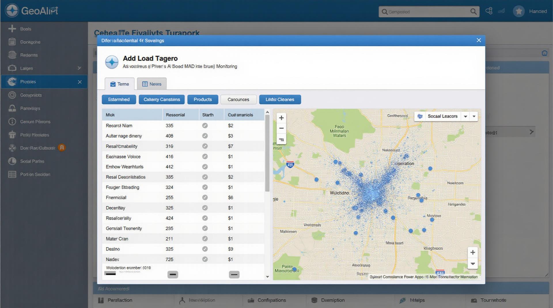
In an era marked by growing water scarcity and climate change, harnessing the power of GeoAI to monitor water consumption and optimize usage has become crucial. GeoAI, a dynamic combination of geospatial analysis and artificial intelligence, enables intelligent data interpretation and insights, driving effective water conservation strategies. This blog post explores the potential of GeoAI for smart water consumption monitoring, providing you with a comprehensive understanding and actionable steps.
What is GeoAI for Smart Water Monitoring?
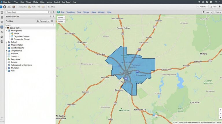
GeoAI leverages the power of Geographic Information Systems (GIS) and advanced machine learning algorithms to analyze and understand spatial data, including water usage patterns. By combining geospatial context with AI-powered analysis, GeoAI offers a detailed view of water consumption across geographical boundaries, revealing valuable insights into water demands and suggesting effective measures to optimize utilization.
Key Features of GeoAI for Water Monitoring
- Real-time data analysis: Enables continuous monitoring of water usage across various sources, ensuring systems are constantly adapts to dynamic demands.
- Location-specific insights: Identifies patterns and anomalies in water use based on factors such as land use, weather patterns, and population density, enabling localized action plans.
- Predictive analysis: Leverages historical data and weather forecasts to predict water consumption patterns, enabling proactive water management.
- Personalized notifications: Provides personalized alerts based on real-time water consumption data, empowering users to take timely and efficient actions.
Benefits of GeoAI for Smart Water Management
The adoption of GeoAI systems delivers numerous benefits, including:
- Resource Optimization: Helps identify and target water wastage through leakages, inefficiencies, and over-consumption.
- Maintaining Water Security: Allows for accurate water demand predictions, encouraging conservation efforts and timely infrastructure projects.
- Cost savings: Reduces unnecessary water consumption, leading to decreased operational costs and a more sustainable water infrastructure.
- Improved Water Quality: Helps detect and manage contamination sources by analyzing water usage patterns and identifying potential points of contamination.
Practical Applications of GeoAI for Smart Water Conservation
GeoAI finds its utility in diverse applications for smart water management. Here are some examples:
- Leak Detection and Repair: Automated analysis of pipe network data and pressure fluctuations can pinpoint leaks, accelerating repair efforts and reducing non-revenue water.
- Demand Forecasting: Predicting future water demands can help refine water distribution plans, optimize resource allocation, and minimize peak-hour demand.
- Irrigation System Optimization: GeoAI can analyze soil moisture levels and weather forecasts, enabling automated irrigation scheduling for efficient water use in agriculture.
Resources for Learning More about GeoAI for Smart Water Management
Beyond this introductory understanding, countless resources are available to delve deeper into GeoAI and its applications for water conservation:
- Internet Resources: Search for “GeoAI for water management” on websites like UNESCO, World Bank, and academic databases for research papers, conference proceedings, and online resources.
- Industry Experts: Follow leading water management companies, technology providers, and research institutions to stay informed about the advancements and developments in GeoAI.
- University Programs and Courses: Universities offering courses and programs related to data science, geospatial analysis, and water resource management are excellent resources for expert guidance.
Conclusion
GeoAI presents a powerful paradigm shift in water conservation efforts. By embracing this innovative technology, we can harness the potential of interconnected data to optimize water resources, reduce waste, and enhance sustainability. Integrating this transformative approach into our water management strategies will be crucial in shaping the future of water conservation and ensuring clean, sustainable water resources for generations to come.
Check similar topics:
What is GeoAI-Water-Usage?
GeoAI-Water-Usage is a cutting-edge technology that utilizes artificial intelligence to provide a comprehensive understanding and management of water usage across geographic areas. It combines advanced geospatial data analytics, remote sensing, and machine learning to offer insights and solutions for optimizing water resources.
Where Can I Access GeoAI-Water-Usage?
We make GeoAI-Water-Usage readily accessible through our dedicated platform located at www.techgeo.org. Explore our data visualizations, actionable insights, and robust tools to tackle challenges related to water resource management.
What Data Formats Does GeoAI-Water-Usage Support?
Our platform integrates with various data formats, including GIS data (Shapefiles, GeoJSON), weather datasets (NetCDF, CSV), and remote sensing images (MODIS, Sentinel). You can easily upload and analyze your own data or access a breadth of publicly available datasets through our platform.
How Does GeoAI-Water-Usage Help Me in Decision-Making?
GeoAI-Water-Usage offers a powerful set of features for improved water management decisions:
- Forecasting and Prediction: Analyze historical data and predicted trends to understand water demand patterns, potential drought risks, and optimize water allocation based on future projections.
- Real-Time Monitoring: Track water use in rivers, aquifers, wetlands, and diverse water utilities with real-time updates using sensors and satellites.
- Leak Detection and Management: Identify possible leaks in water networks and prioritize maintenance efforts to prevent unnecessary water wastage.
Geospatial Considerations for GeoAI-Water-Usage
The effectiveness of GeoAI-Water-Usage depends on precise geographic information:
- High-Resolution Imagery: Detailed satellite, aerial, and airborne imagery is crucial to accurately map water bodies and identify relevant features like irrigation channels or wells.
- Geolocation Data: GPS coordinates for observation points or water infrastructure allow us to build accurate water distribution models and efficiently monitor them.
The Importance of GeoAI-Water-Usage
GeoAI-Water-Usage plays a vital role in addressing critical challenges related to water scarcity and conservation:
- Sustainable Management: Empower water managers with data-driven insights and predictive models, enabling them to optimize water use and implement sustainable water allocation practices.
- Disaster Response: Enhance water resource monitoring during drought or flood situations, enabling quicker responses to crisis scenarios than traditional methods.
By understanding, utilizing, and fostering the application of GeoAI-Water-Usage, we contribute to a more sustainable water future for generations to come.
Given the urgency of water resource management, embracing GeoAI-Water-Usage becomes crucial in building resilience and combating possible water scarcity.

