AI for Geospatial Data Interpretation – Feature Extraction
AI for Geospatial Data Interpretation – Feature Extraction
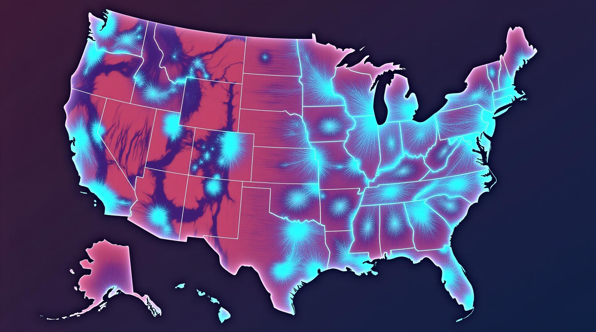
Understanding and analyzing the vast landscape of Geospatial data is a burgeoning field. Now imagine harnessing the power of Artificial Intelligence to automatically extract meaningful information from these intricate datasets – that’s AI for Geospatial data interpretation, particularly feature extraction.
What is Feature Extraction?
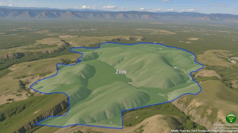
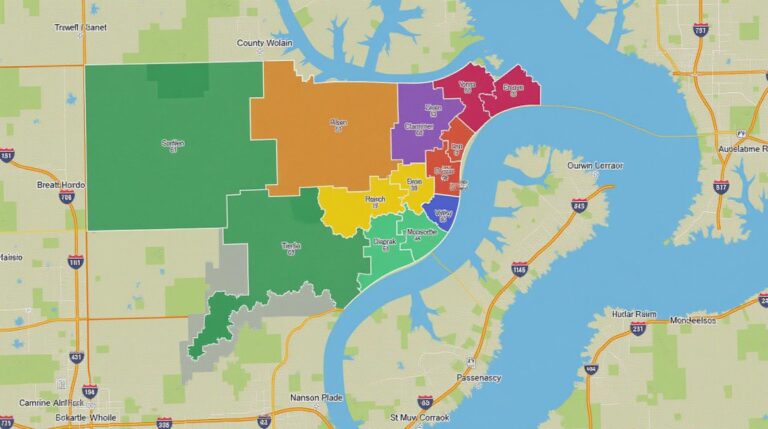
Feature extraction is the process of identifying and extracting key features crucial for understanding a particular geospatial scene. Think of it as highlighting the most significant details within the data, providing valuable insights for decision-making in various fields. For example, agriculture can benefit from recognizing fields, while urban planning uses feature extraction to detect building footprints.
AI for Geospatial Feature Extraction
AI, specifically machine learning algorithms, revolutionizes feature extraction by efficiently analyzing the spatial patterns, textures, and relationships within data. The key elements contributing to this are:
* **Automation:** AI reduces the human need for manual feature identification, accelerating data analysis.
* **Computational Power:** Machine learning models can handle vast datasets, uncovering complex patterns invisible to the human eye.
* **Adaptability:** AI algorithms can learn from different data sources and adapt to subtle variations within features.
using
- or
- CNNs (Convolutional Neural Networks): Ideal for analyzing images, making them adept at identifying features like edges, edges, textures.
- SVMs (Support Vector Machines): Suitable for complex datasets, especially those with clear classification boundaries.
- Random Forests: Combinations of multiple trees, excellent at handling complex relationships within the data.
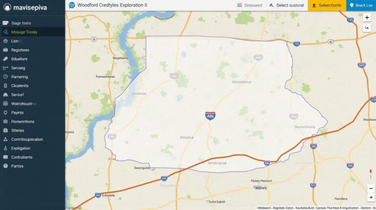
- Google Earth Engine: A cloud-based platform that offers free access to massive geospatial datasets. Its rich library includes tools and computational resources for AI implementation, analysis, and visualization.
- QGIS: This open-source software facilitates handling and processing geospatial data, interoperability, and incorporates artifcial intelligence tools into its broader functionality. It allows users to use Python with its integrated QGIS Python plugin to enhance general artificial intelligence capabilities.
- Planet Labs: Planet provides high-resolution, satellite data at regular intervals. AI algorithms are designed to analyze these multi-temporal images for various applications, including agriculture, urban development, and disaster-related studies.
- and
tags. Here’s an expanded explanation:
Key Features
* **Image & LiDAR Classification:** Using computer vision, AI sorts and classifies different land cover types like forests, water bodies, and urban areas. AI can also leverage LiDAR data, which captures light reflected from surfaces, to optimize image depth and 3D habitat understanding. This can be crucial for forestry management and disaster relief.
* **Forest Resource Management:** Not just about deforestation, AI can assist with taking action on dwindling populations of endangered species by pinpointing endangered habitat areas. It can analyze satellite imagery to identify forested areas with limited resources and view crop health toward a sustainable species-aware strategy.
* **Climate Change Analysis:** AI assists in monitoring deforestation rates, detecting deforestation hot spots, and identifying long-term changes in land use and vegetation distribution.
* **Natural disaster management:** From wildfire detection to identifying debris and damage areas after a natural disaster, AI can contribute to efficient emergency response, aid in post-disaster damage assessment, and expedite rescue efforts.
There are several methods for AI feature extraction. Here’s why:
Benefits of AI Feature Extraction
* **Data Efficiency:** AI accelerates the processing of vast amounts of data, providing faster insights than manual analysis.
* **Accuracy:** Machine learning delivers higher accuracy, automating the identification of nuanced features for optimized decision making.
* **Accessibility:** AI simplifies complex analysis by removing specialized skills needed, fostering more engagement and broader adoption in various fields.
Applications and Practical Use Cases
To understand the diverse potential of AI for geospatial data analysis, consider these diverse applications:
* **Land Use Change Detection:** AI automatically identifies changes in land cover, aiding urban planning, sustainable development and environmental management.
* **Farm Management:** Inferring crop health & condition, detecting potential pests, planning irrigation, optimizing fertilizer usage, and improving farm productivity.
* **Smart Urban Development:** Autonomous planning and design technologies want insights about infrastructure needs and promote sustainable urban development.
* **Navigation & Path Planning:** AI routes are optimized for electric vehicles or autonomous vehicles by considering terrain and weather conditions.
Tools and Resources
Numerous tools and platforms have been developed to support AI feature extraction within the geospatial field.
As the field of GeoAI continues to develop, we are expected to see even more innovative ways AI can minimize human oversight. We can expect future applications to become increasingly sophisticated and directly contribute to solving some of the most pressing challenges facing our planet and its inhabitants.
***
Check similar topics:
## GeoAI Feature Extraction FAQs
Wondering how to unlock the power of geoAI for your data insights? You’ve come to the right place! Here’s a look at some common questions about GeoAI feature extraction:
### 1. What is GeoAI Feature Extraction?
GeoAI feature extraction is a powerful process that uses artificial intelligence (AI) to identify and extract specific characteristics from geographic data. Think locations, landmarks, land cover types, and more – all along with data like roads, buildings, and demographics.
learning resources available on our platform that can be useful: how to use them
### 2. Is GeoAI Feature Extraction Feature Friendly?
Yes, GeoAI is actually quite user-friendly! We offer intuitive interfaces and simple scripts. You can discover more by visiting our online tools www.techgeo.org/geoai-feature-extraction-tools.
### 3. What Formats Does GeoAI Feature Extraction Work With?
It All depends on your needs! GeoAI is compatible with various data formats, including:
* ** Images:** Photos of any kind.
* **GeoJSON:** Organised for geographic data analysis.
* **CLouds:** Local and regional environmental information like cloud cover.
### 4. What Can I Use GeoAI Feature Extraction For?
GeoAI’s vast possibilities empower you to:
* **Optimize drone operations **
* **Geotag and pinpoint objects & landmarks**
* **Build smarter spatial models **
* **Automate resource management **
* **Create captivating interactive maps**
* **Conduct real-time data analysis for your specific region**
**Actionable Insights**
GeoAI feature extraction is revolutionizing how we interact with geospatial data. By enhancing data analysis capabilities, we can address critical issues like pollution management, urban planning, and resource allocation – right on your fingertips!
Explore GeoAI Feature Extraction
**For instant support, reach out to our GeoAI experts:** ** www.techgeo.org/contact **

