The Role of GeoAI in Flood Prediction and Management – Flood Mapping
The Role of GeoAI in Flood Prediction and Management – Flood Mapping
Floods are a devastating natural hazard, causing widespread property damage and loss of life. Predicting and managing floods effectively is crucial for disaster preparedness and resilience. GeoAI, a groundbreaking tool that combines geospatial data with advanced artificial intelligence, is emerging as a powerful solution in flood prediction and management, particularly for flood mapping.
What is GeoAI?
GeoAI utilizes the power of artificial intelligence (AI) to analyze and interpret geospatial data. This data encompasses locations on Earth, including physical features, demographics, and the environment. By analyzing this data and using machine learning algorithms, GeoAI can build predictive models, identify patterns, and gain insights that wouldn’t be possible with traditional methods.
Key Features of GeoAI in Flood Mapping
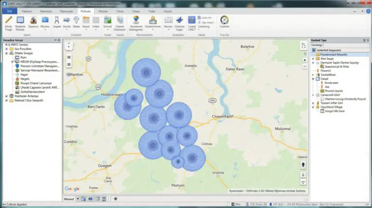
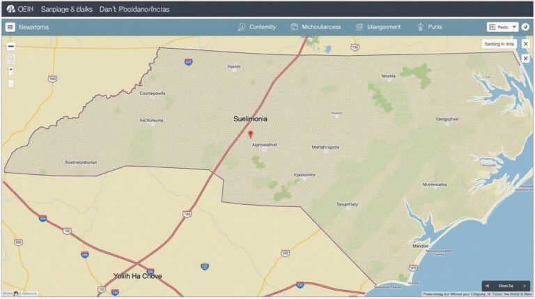
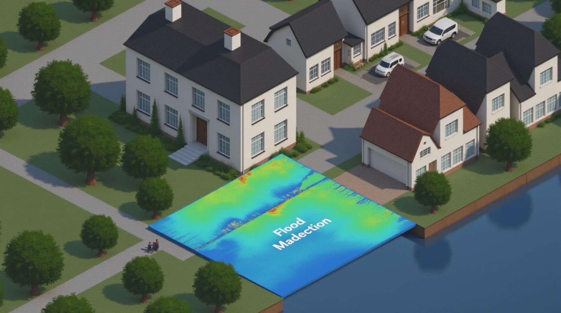
* **High-Resolution Mapping:** GeoAI enables the creation of highly detailed and accurate flood maps. Traditional methods often relied on satellite imagery and aerial photography, which can be outdated or insensitive to smaller-scale flooding events. GeoAI combines various data sources, including real-time observations and sensor feeds, to provide a deeper understanding of the flood threat and its potential impact.
* **Predictive Modelling:** GeoAI models can utilize historical flood data, weather patterns, and land use information to predict flood risk. By analyzing historical flood data and current conditions, the models can predict ongoing or future flooding events with higher accuracy than traditional methods. This increased predictive power benefits disaster preparedness, allowing authorities to allocate resources and implement mitigation strategies proactively.
* **Dynamic Mapping:** GeoAI can create dynamic, real-time flood maps that adapt based on changes in weather, water levels, and land conditions. This ensures that people can readily access updated and relevant flood information, empowering them to make informed decisions about their safety and preparedness.
* **Flood Modeling & Risk Assessment:** By combining various factors such as elevation, soil properties, and proximity to rivers or water bodies, GeoAI can create highly detailed flood simulations. These simulations help identify areas most susceptible to flooding and assess the potential severity of the impact, providing crucial insights for targeted mitigation efforts and resource allocation.
Benefits of GeoAI for Flood Management
* **Increased Accuracy:** GeoAI-powered flood mapping offers improved accuracy compared to traditional methods as it utilizes advanced algorithms and integrates multiple data sources. This leads to more effective flood forecasting and risk assessments.
* **Timely and Efficient Decision Making:** With real-time updates and predictive information, GeoAI enables faster response times during flooding events. Decision-makers can track flood progression, identify vulnerable areas, and distribute emergency aid more effectively.
* **Improved Risk Communication:** Real-time and dynamic flood maps with personalized alerts can help citizens understand the current risk level and choose appropriate safety measures, leading to better disaster preparedness.
* **Reduced Costs:** Early prediction and effective resource allocation through GeoAI can significantly reduce costs associated with flood damage, saving both economic resources and human lives.
Practical Applications of GeoAI in Flood Management**
* **Automated Flood Monitoring:** GeoAI can utilize sensors placed within areas prone to flooding to collect live data on real-time water levels and other relevant variables. This information can be analyzed by GeoAI models to monitor the progress of flooding and alert authorities of imminent risks.
* **Early Warning Systems:** Real-time flood mapping, combined with predictive modeling, can help create powerful early warning systems that alert nearby communities and individuals about potential flooding events. These systems are often coupled with voice alerts, SMS messages, and social media updates, enabling mass notifications to citizens.
* **Flood Risk Assessments:** Banks, insurers, and property developers can leverage GeoAI to conduct comprehensive flood risk assessments for potential projects. This allows for targeted mitigation efforts and improves infrastructure resilience in areas with high flood vulnerabilities.
Where to Learn More: Resources & Tools
* **The ESA (European Space Agency) – Flood Awareness Initiative:** [https://www.esa.int/Science_Exploration/Space_Science/Flood_Awareness](https://www.esa.int/Science_Exploration/Space_Science/Flood_Awareness)
* **The NOAA (National Oceanic and Atmospheric Administration) – Flood Risk Maps:** [https://floodsmart.fema.gov/](https://floodsmart.fema.gov/)
* **NASA Earthdata Collections:** [https://earthdata.nasa.gov/](https://earthdata.nasa.gov/)
GeoAI offers a transformative approach to flood prediction and management. By leveraging the power of advanced technologies and data analysis, organizations are developing more accurate, timely, and efficient flood forecasting models, enabling better preparedness and mitigation measures, and ultimately saving lives and livelihoods.
It’s great you’re interested in using geoAI for flood prediction and management.
Let’s explore the FAQs to ensure you get the most out of this powerful tool!
## **GeoAI Flood Prediction & Management Risk Analysis** FAQs
### **Availability**
**Q: What types of data is GeoAI-Flood-Prediction-Management-Risk-Analysis built upon?**
A: GeoAI-Flood-Prediction-Management-Risk-Analysis is a powerful framework that leverages diverse data types:
* Satellite imagery
* Ground-based sensor data (weather stations, radar networks, etc.)
* Historical flood records
* Hydrological data
* Elevation maps
**Q: Is access to GeoAI-Flood-Prediction-Management-Risk-Analysis freely available?**
A: Details on access methods are best found on the project pages. Search [Insert Project Documentation Link] for more information regarding open access or development access.
### **Formats**
**Q: What formats are the outputs in?**
A: The outputs of GeoAI-Flood-Prediction-Management-Risk-Analysis are well-structured outputs like:
* **Time Series Data:** Analyzing rainfall patterns, water levels, river flows.
* **Spatial Data:** Maps showing flood extent likelihood.
* **Risk Scores:** Quantified risk distance and probability of flooding.
* **Climate Predictions:** Summarizes data on the future impact of flooding.
* **Alert Systems:** Transmission of critical data for rapid public advisories.
**Q: Can the data be viewed directly or needs conversion?**
A: The format information for outputs will be specified on the dedicated resources [Insert Documentation Link].
### **Usage**
**Q: How can I apply GeoAI-Flood-Prediction-Management-Risk-Analysis?**
A: The applications of GeoAI-Flood-Prediction- Management-Risk-Analysis are wide ranging!
* **Immediate Flooding Warning:** Rapidly assess risks in the short term.
* **Prevention Plans:** Target areas vulnerable to flooding, utilizing prevention strategies.
* **Mitigation efforts:** Predict and adapt responses for demanding future predictions.
* **Land-Use Planning:** Inform urban planning choices based on flood projections.
### **Summary and Actionable Insights**
GeoAI-Flood-Prediction-Management-Risk-Analysis is a game-changer in the fight against increasingly challenging floods. By harnessing the power of this technology, we can:
* **Save Lives and Property:** Create early warnings and proactive disaster preparedness.
* **Reduce Economic Damage:** Minimize flood-related losses.
* **Invest in Adaptation:** Plan for a more effective and sustainable future by leveraging current information..
**Final Thoughts:**
The future of flood management depends on innovation, and this technology greatly contributes to addressing multiple climate change challenges. By leveraging GeoAI-Flood-Prediction-Management-Risk-Analysis, we take proactive steps towards a safer and more resilient future.
***”The best way of predicting the future is to invent it.” – Alan Kay**