GeoAI for Smart Water Systems – Flood Risk Assessment
GeoAI for Smart Water Systems: Flood Risk Assessment
In today’s world, the reliability of our water systems is not just about abundance, but also about resilience. This means adapting to changing conditions and anticipating challenges like floods. GeoAI, utilizing advanced geographic information systems (GIS) combined with artificial intelligence (AI), offers powerful solutions for flood risk assessment and management within intelligent water systems.
What is GeoAI?
GeoAI combines the spatial reasoning of GIS with the analytical power of AI algorithms. It leverages vast datasets – geographic locations, water infrastructure, weather patterns, social factors, etc. – to collect insights and make predictions. This enables its application to understand the complexities of flood risk, moving beyond conventional methods relying solely on historical data.
Unlocking Flood Risk Assessment with GeoAI
GeoAI can significantly improve flood risk assessments in several ways:
* **Predictive Analytics:** GeoAI models can analyze historical data, real-time weather forecasts, and dynamic land surface information to project flood events with higher accuracy. This allows for timely interventions and proactive preparation.
* **Integrated Modeling:** Combining data from various sources like river flow, groundwater levels, and weather forecasts through various complex models can provide a holistic view of potential flooding scenarios.
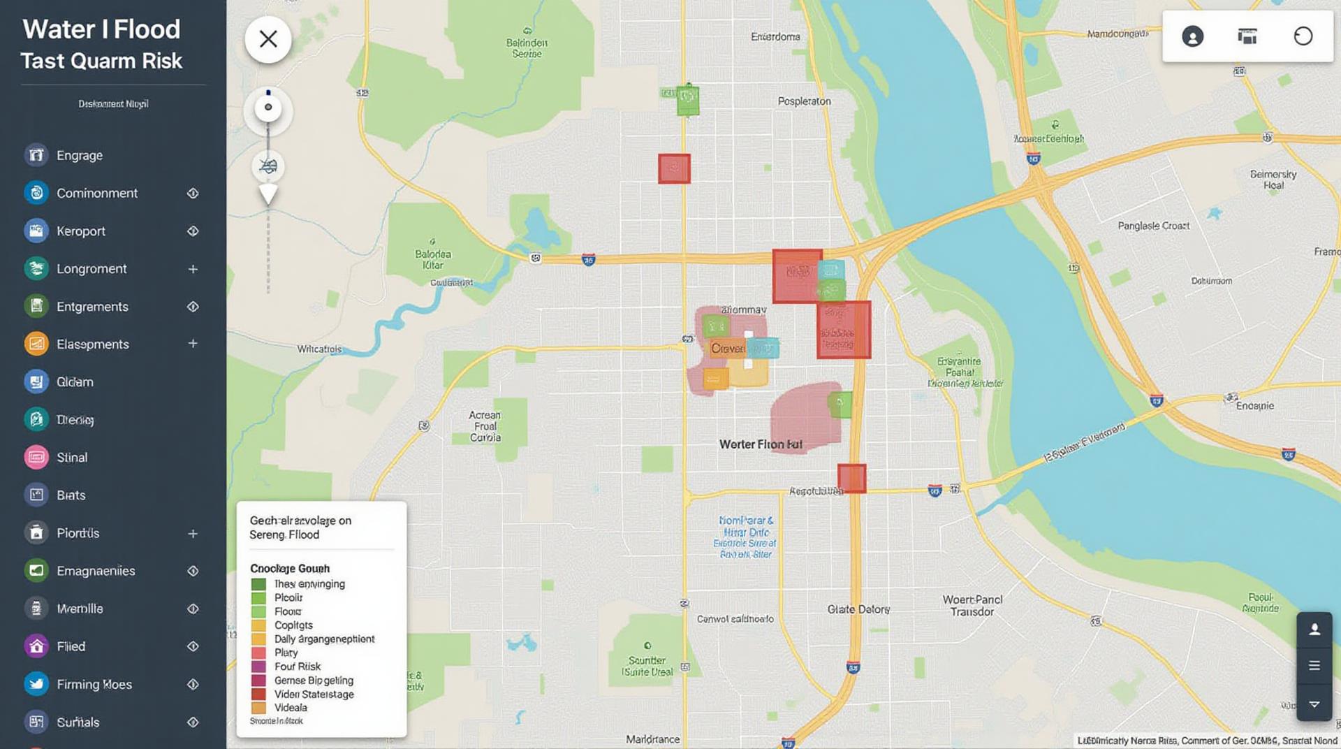
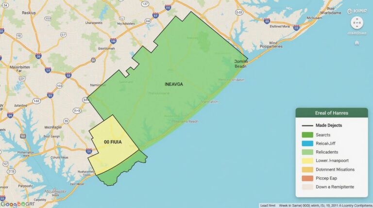
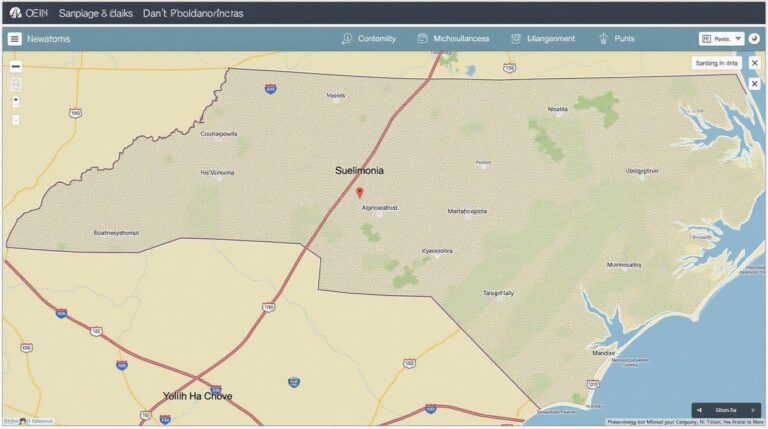
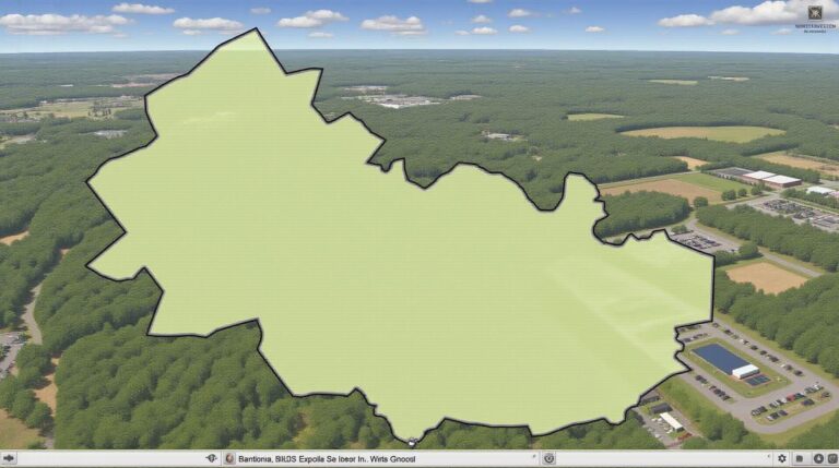
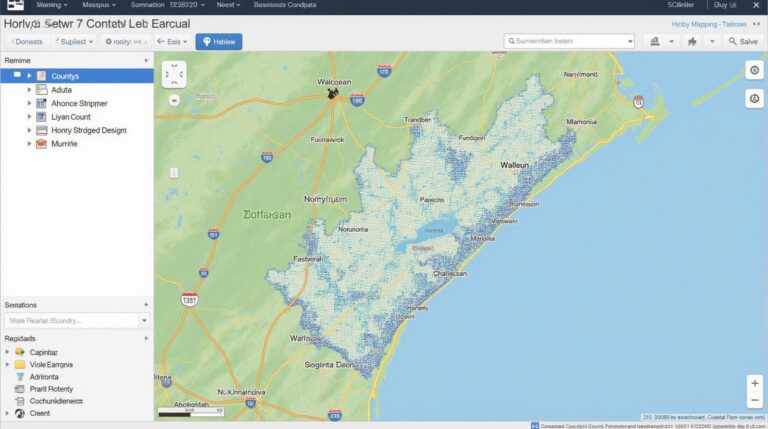
* **Enhanced Visualization:** GeoAI enables the creation of interactive and geographically rich maps, clearly visualizing flood risk zones and potential impacts on specific communities.
* **Adaptive Solutions:** By developing dynamic risk models, GeoAI systems can provide updated input for optimized water resource management strategies and disaster preparedness plans.
Benefits of GeoAI for Smart Water Systems
Implementing GeoAI in smart water systems brings significant benefits:
* **Improved Disaster Preparedness:** By predicting potential floods and their impacts, local authorities and water utilities can enact proactive responses, minimizing damage to infrastructure and the population.
* **Enhanced Efficiency:** GeoAI analysis aids in optimizing water distribution networks, flood mitigation strategies, and water resource allocation.
* **Reduced Costs:** Implementing accurate risk assessments and enacting timely mitigation measures can significantly reduce the financial burden associated with flood events.
* **Smart Conservation:** GeoAI assists in identifying areas prone to water scarcity and implementing tailored conservation strategies.
* **Increased Community Resilience:** Engaging local communities in understanding and adapting to flood risks contributes to higher levels of preparedness and resilience.
Practical Applications of GeoAI
The applications of GeoAI are abundant and impactful across various smart water systems:
* **Pipeline Leak Detection & Prevention:** GeoAI can analyze real-time sensor data to detect leaks early and prevent them from spreading, minimizing potential flooding and water loss.
* **Flood Mitigation Infrastructure Planning:** GeoAI assists in identifying vulnerable areas and optimizing the placement of flood control structures such as dams, levees, and pumping stations.
* **Groundwater Management:** GeoAI analyzes groundwater levels and aquifers, allowing for better water allocation during droughts, flood events, and other hydrological changes.
* **Real-Time Flood Response:** Utilizing GeoAI platforms allows for rapid response to evolving real-time flood events, directing emergency services, evacuations, and resources efficiently.
Resources for Further Exploration
Looking to learn more about GeoAI and its application in smart water systems and flood risk assessment? Here are some excellent resources:
* **Open Geospatial Consortium (OGC):** The OGC provides comprehensive standards and tools for geospatial data access and interoperability, including the Water Resource Management Domain.
* **United Nations Sustainable Development Goals:** The UN SDG 6 focuses on clean water and sanitation. Their website offers information on water resource management and water security.
* **Web of Science & Google Scholar:** Utilize these tools to search for the latest peer-reviewed research papers and articles on GeoAI and smart water systems.
GeoAI is critical in achieving climate resilience, ensuring water security, and promoting a sustainable future. By embracing these cutting-edge solutions, we can proactively navigate uncertainties and create intelligent water systems designed for the challenges of a changing world.
Check similar topics:
FAQs
Below are answers to some frequently asked questions about geoai-flood-risk-assessment.
What is geoai-flood-risk-assessment?
geoai-flood-risk-assessment is a powerful tool that utilizes artificial intelligence (AI) and Geographic Information Systems (GIS) to assess flood risks. It integrates advanced algorithms with vast datasets to create comprehensive flood risk profiles, enabling accurate and timely predictions.
Is geoai-flood-risk-assessment available?
Yes, geoai-flood-risk-assessment is available at www.techgeo.org.
What formats does geoai-flood-risk-assessment provide?
The tool is available in GeoJSON format, allowing for easy integration into GIS platforms and automated mapping applications.
How can I use geoai-flood-risk-assessment?
- Access the platform at www.techgeo.org.
- Prepare your area by providing relevant data, such as topography, elevation, and drainage patterns.
- Utilize the intuitive interface to upload data and generate a detailed risk assessment.
- Interpret the results for informed decision-making for flood management.
Why is geoai-flood-risk-assessment important?
Geoai-flood-risk-assessment is crucial for mitigating the impact of flooding on communities and infrastructure. By providing early warnings and defining risk zones, it allows for strategic interventions, comprehensive planning, and development of resilient infrastructure.
Learn more
By embracing geoai-flood-risk-assessment, your organization can face the challenges of floods with confidence! With effective preparedness, you can minimize the impact of flooding in your community.

