AI for Geospatial Data Validation – Error Detection
AI for Geospatial Data Validation – Error Detection
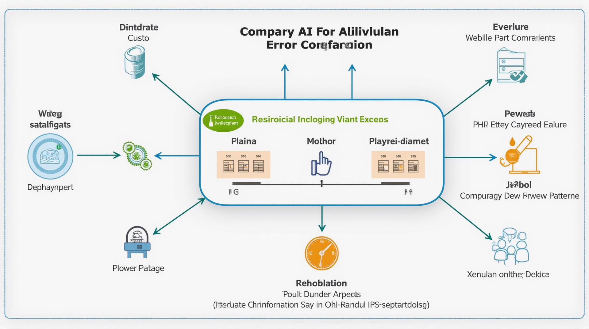
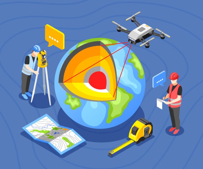
In today’s data-driven world, geospatial data is becoming increasingly vital across various fields like urban planning, environmental monitoring, and agriculture. However, validating the accuracy of this data is essential for responsible and informed decision-making. Traditional methods of data validation, while effective, often fail to keep pace with the sheer volume and complexity of current geospatial datasets. Thankfully, Artificial Intelligence (AI) is revolutionizing this process by automating error detection and enhancing data accuracy.
What is Geospatial Data Validation and Error Detection?
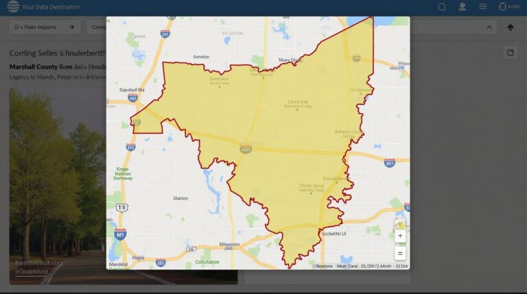
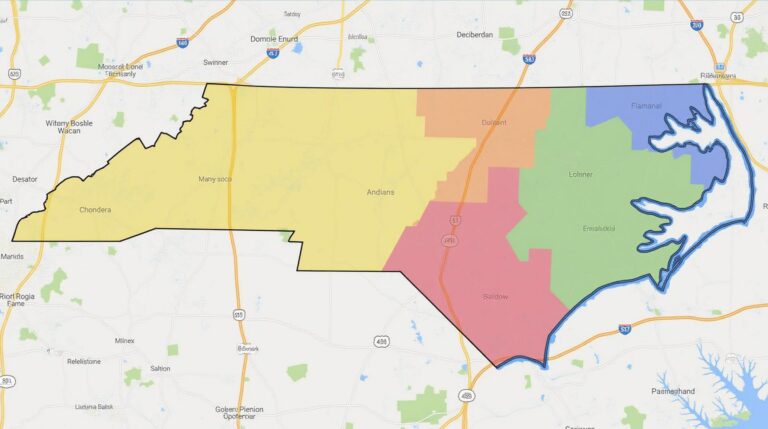
Geospatial Data Validation refers to the process of checking the accuracy and authenticity of geographical data. This means identifying any discrepancies, inconsistencies, or inaccuracies within the data and generating reports or visualizations outlining the findings. AI-powered error detection goes beyond simple checks and identifies subtle errors within geospatial data, offering a more comprehensive and insightful analysis.
The Benefits of Using AI for Geospatial Data Validation
Utilizing AI for geospatial data validation offers numerous benefits, including:
- Enhanced Accuracy & Reliability: AI’s ability to learn patterns and detect anomalies leads to more accurate validation, ensuring data trust and credibility.
- Increased Efficiency & Productivity: Automated error detection eliminates manual processes, freeing up time for analysts to focus on high-level insights.
- Reduced Costs & Operational Expense: AI-driven analysis helps identify and rectify errors early on, minimizing costly rework and misinterpretation.
- Improved Decision Making: Accurate and validated data fuels confident strategic decisions across industries.
- Better Adaptability to Unstructured Data: AI excels in handling complex and dynamic geospatial data, including satellite imagery, aerial photography, and GIS layers.
How AI Systems Detect Errors in Geospatial Data

There are several approaches AI systems utilize to identify errors:
- Image and Feature Analysis: Sophisticated algorithms analyze images, satellite scans, and aerial photos, detecting discrepancies in land cover, terrain elevations, and other features.
- Statistical Analysis: Machine learning algorithms compare patterns across datasets and identify abnormalities based on geographic and temporal correlations.
- Object-based Image Analysis: AI models identify and classify objects in geospatial data, such as buildings, roads, and water bodies, to detect anomalies or misalignments between them.
- Deep Learning: Powerful learning algorithms, akin to human vision, can identify complex features and subtle nuances for high-level error detection.
Practical Applications of AI for Geospatial Data Validation
The applications of AI for geospatial data validation are vast and have impacted various domains:
- Urban Planning & Infrastructure Management: AI enables the identification of road defects, building damage, and infrastructure discrepancies, ensuring efficient city management and maintenance.
- Agriculture: AI contributes to precise crop monitoring, disease identification, and irrigation efficiency, improving yield and resource allocation.
- Environmental Monitoring: AI accelerates the identification of deforestation, water pollution, and climate change impacts, empowering better environmental management practices.
- Disaster Response: AI helps agencies analyze damaged areas, observe rescue efforts, and predict future hazards after a disaster.
Resources for Learning more about Geospatial Data Validation with AI
To dive deeper into this fascinating field and explore resources to utilize AI for geospatial data validation. Consider researching:
- Platforms and Software: LeoGPT, Bing AI, Google Earth Engine, ArcGIS applications.
- Open Source Libraries: Scikit learn, TensorFlow.
- Academic Research: Search for academic resources on “Geospatial AI Validation”, “Automated Geospatial Data Cleaning,” “Deep Learning for Geospatial Data Analysis”
- Industry Reports: Look at reports from companies specializing in Geospatial and AI which come with tutorials and guides.
Conclusion: A Brighter Future with AI and Geospatial Data
Advancements in AI are making geospatial data validation more sophisticated and accessible. By harnessing the power of these technologies, we can empower complex decision-making, improve efficiency, and sustainability across diverse industries, ultimately building a better, more informed world. AI is shaping the future of geospatial data, and actively participating in its applications may be key to unlocking new possibilities.
Check similar topics:
“`html
FAQs
What is GeoAI Error Detection?
GeoAI Error Detection is a powerful technology that leverages artificial intelligence (AI) to identify and flag potential errors in geographic data. This includes misaligned locations, erroneous classifications, inconsistencies, and other anomalies, ensuring the accuracy and reliability of your geographic data workflows.
What formats does GeoAI Error Detection support?
GeoAI Error Detection supports several common data formats, including GeoJSON, KML, GeoTIFF, and Shapefiles. Ensure your data is well-formatted before using the tool for error detection.
Is GeoAI Error Detection available as a service?
Yes, GeoAI Error Detection is currently offered as a service that integrates seamlessly with various data platforms.
Learn more about our geoAI Services
.How do I get started with GeoAI Error Detection?
Getting started is easy!
Visit our tutorials to get hands-on hands-on experience. Explore our documentation and support resources on our website.
Importance of GeoAI Error Detection
GeoAI error detection is crucial for ensuring the accuracy and reliability of your geographic data. By identifying errors, you can avoid:
- Deployment of incorrect geographical maps.
- Inaccuracies in routing analysis and connected services.
- Misleading business insights based on compromised geographic data.
Actionable Insights
Utilize GeoAI Error Detection to:
- Enhance the consistency and reliability of your geographic data sets.
- Maintain operational efficiency, minimizing manual corrections.
- Offer more accurate results for data analysis and visualization.
“`
**Explanation:**
* **Structure:** The code creates a logical “FAQs” section with a clear heading and structure using HTML elements.
* **Content:** The FAQs section addresses key aspects of GeoAI Error Detection – its purpose, supported formats, service availability, and implementation.
* **Call to actions:** Links are added for further information and integration.
* **Concise presentation:** Avoids lengthy paragraphs, opting for brief explanations to provide useful information.
**Remember:** You need to replace the example links and provide specific information on GeoAI services, tutorials and resources from your www.techgeo.org website.
Let me know if you have any other questions!

