GeoAI for Smart Urban Planning – Green Space Allocation
GeoAI for Smart Urban Planning: Green Space Allocation
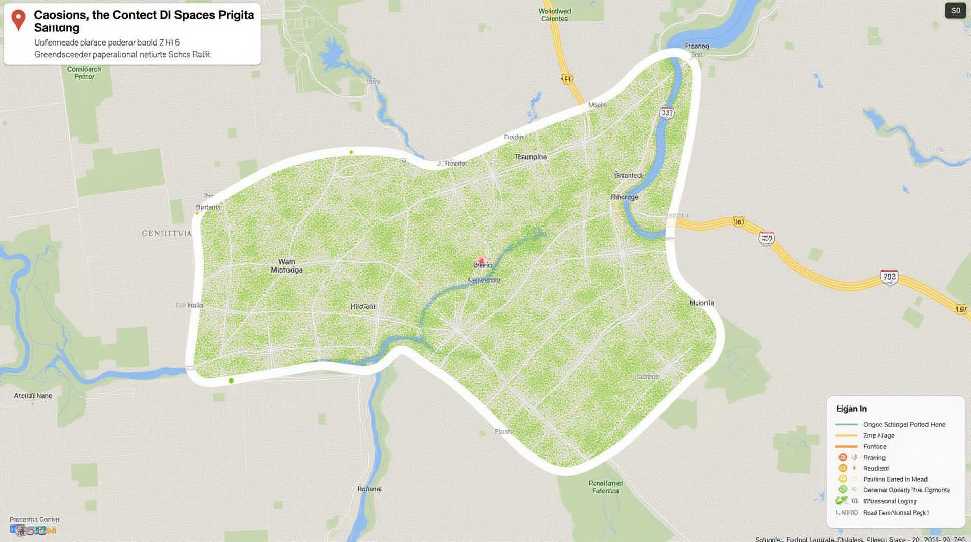
As the world grapples with the challenges of climate change and the increasing need for sustainable urban environments, GeoAI emerges as a vital tool for enabling smart urban planning. One aspect where GeoAI is making a significant impact is in the efficient allocation of green spaces in cities. This process employs the power of geospatial data analysis and artificial intelligence to make informed decisions about green infrastructure locations and their management.
Understanding GeoAI and Green Space Allocation
GeoAI in the context of green space allocation focuses on leveraging geographical data and advanced algorithms to optimize the distribution, design, and management of parks, green belts, urban farms, and other nature-led solutions in urban environments. It encompasses:
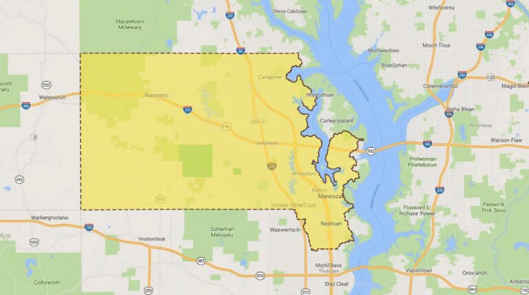
- Spatial Analysis: Using geographic information system (GIS) and real-time data gathering techniques, GeoAI identifies areas suited for green infrastructure based on environmental suitability, historical land use data, demographic considerations, and more.
- Data Integration: Integrating varied spatial datasets, like population density, environmental conditions, air quality data, and soil suitability, into a single framework for comprehensive analysis.
- Predictive Modeling: Employing machine learning algorithms to simulate future growth in green space needs and map them against alternative scenarios and land-use changes.
- Optimizing Resource Allocation: Determining optimal areas for park development, organic waste composting, green roof installations, and various green infrastructure projects.
Benefits of GeoAI in Green Space Allocation
Implementing GeoAI for green space allocation creates significant advantages for cities and citizens. Some key benefits include:
- Sustainability: GeoAI helps prioritize species native to a region, optimizes resource utilization, and promotes biodiversity, leading to a leaner carbon footprint.
- Health & Wellbeing: By calculating the impact of green space on physical and mental health, GeoAI guides planning for areas with higher concentrations of parks and resplendent vegetations.
- Economic Opportunities: Green infrastructure projects require numerous online planning tools for cost-benefit analysis, measuring connectivity, and calculating the social benefits, which GeoAI helps manage effectively.
- Improved Civic Engagement: Provides an interactive toolset for citizens to contribute input on proposed green space locations or suggest improvements, leading to more inclusive planning decisions.
Practical Applications of GeoAI for Green Space Allocation
GeoAI applications in green space allocation are already utilized in various scenarios:
- Park Design & Optimization: Optimizing the layout of individual parks by identifying ideal placement for playgrounds, pathways, seating areas, and ecological features.
- Tree Planting & Urban Forestry: Calculating optimal distribution of trees to improve air quality, mitigate urban heat island effects, and manage stormwater runoff.
- Wildlife Habitat Connectivity: Building a strategic network of green corridors to enhance biodiversity and enhance wildlife movement.
- Neighborhood Healing Grounds: Optimizing the placement of green spaces for community engagement and social activation.
Looking Ahead: The Importance of GeoAI for a Sustainable Future
Understanding and leveraging GeoAI is crucial for future-proof smart cities. Its effective application can propel equitable and sustainable goal ideations, strategize suitable resource allocation, optimize the sustainability outlook of urban communities, and pave the way for greener spaces in our ever-evolving urban landscapes.
To further explore GeoAI in urban planning:

