AI for Geospatial Data Smoothing – Noise Reduction
Smoothing the Data Landscape: Using AI for Geospatial Data Noise Reduction
In the world of geospatial data, precision is paramount. However, noisy image and data sets, often stirred by inherent challenges such as sensor limitations and image processing artifacts, pose a significant obstacle to accurate analysis and insightful interpretation. Here we delve into the revolutionary application of Artificial Intelligence (AI) in tackling these challenges.
What is GeoAI & How Does it Tackle Noise?
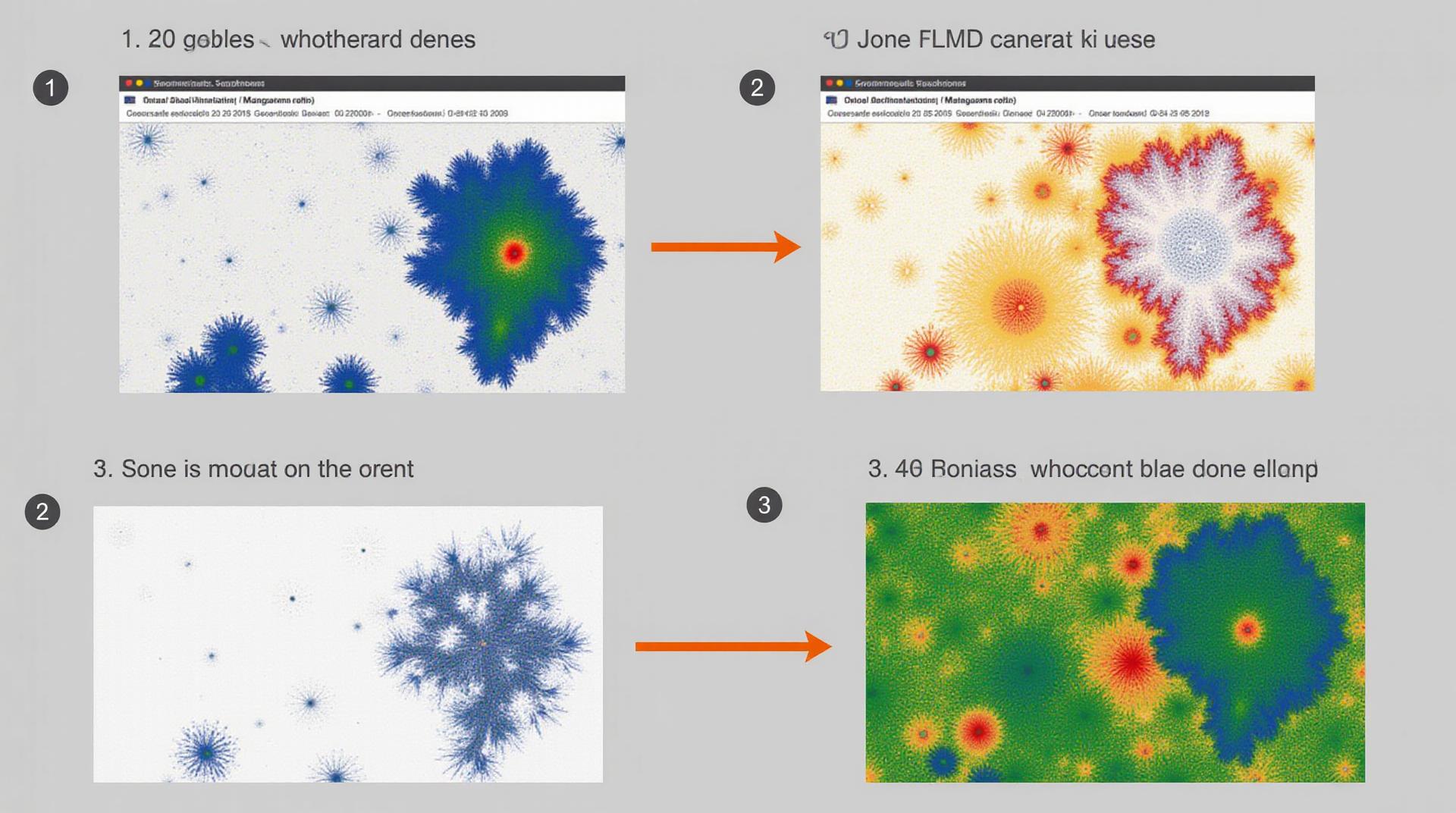
GeoAI, or Geo-Artificial Intelligence, is the intersection of data science and geospatial analysis, leveraging AI algorithms to solve problems and gain valuable insights from geographical data. One crucial application within GeoAI is the noise reduction process, using intelligent techniques to eliminate undesirable fluctuations and enhance the usability of geospatial information.
Key Features of AI for Noise Reduction in Geospatial Data
- Automated Segmentation: AI algorithms can identify cluttered and uninformative areas in geospatial data, effectively segmenting what is truly significant.
- Deep Learning for Feature Extraction: Sparking advanced and sophisticated neural networks can enhance image quality, extracting specific features like land cover, shapes, and patterns, and removing distracting noise points.
- Adaptive Filtering:** These algorithms analyze individual patterns and eliminate specific noise types. This dynamic pattern recognition makes them ideal for different Common Geographic Environments (e.g., satellite images, aerial photos, air, or city-level data), offering a diverse set of functionalities.
- Accuracy and Precision:** AI-based filtering surpasses manual interventions and traditional methods in terms of accuracy and precision, creating cleaner, smoother data.
Benefits of Employing AI for Noise Reduction in Geospatial Data
Integrating AI into Geospatial data analysis offers numerous advantages:
- Improved Analysis Quality:** High-quality, clean geospatial data lays the foundation for reliable analysis. AI-enhanced data leads to more accurate interpretations and insights, facilitating better decision-making.
- Faster Results:** AI-driven processes can significantly increase analysis speed. This speeds up project completion and empowers faster response to evolving needs.
- Cost-Effectiveness:** By processing information without manual intervention, AI effectively reduces labor-intensive processes, making it a budget-friendly solution.
- Scalability:** AI can be deployed across various platforms and scales of projects, allowing for global or local analysis depending on the purpose.
Practical Applications of AI for Noise Reduction in GeoSpatial Data
AI’s advancements have found extensive practical application within diverse terrains of Geospatial analysis:
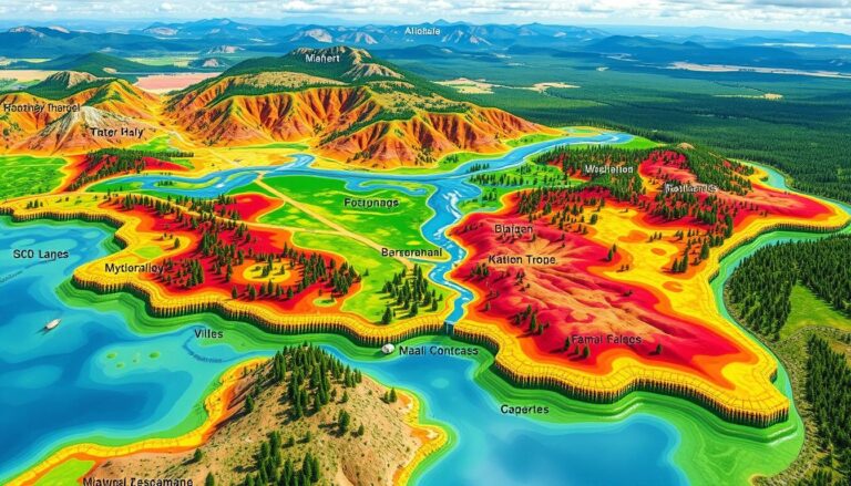
- Land Cover Mapping:** Identifying land use for sustainable resource management and development is simplified with AI’s ability to accurately categorize features from satellite images.
- Forest Monitoring:** AI enhances forest health monitoring by analyzing changes in vegetation patterns, detecting diseases or unhealthy conditions early on.
- Weather Forecasting:** By incorporating optimized satellite imagery, AI contributes to the accuracy of weather forecasts, predicting weather patterns with improved precision and efficiency.
- Disaster Response:** AI post landslide assessments and damage assessments; searches for missing individuals after a disaster; aiding responders in locating cuts lenses and supporting medical assistance. This rapid and accurate response can make a life-saving difference.
Resources for Exploring Further
The field of AI in GeoSpatial data continues to evolve rapidly, with constant developments and advancements. To find further details on AI for noise reduction and other GeoAI applications, here are some resources:
esri.com/
www.esri.com/consulting/
***
By embracing AI in geospatial data analysis, we can unlock new perspectives and deeper understanding. The future of geoinformation analysis with AI is bright and promises to revolutionize many sectors. Along with advancements in tools and technology, the comprehensive use of AI for geospatial data noise reduction will gain wider adoption, bringing about transformative changes in our environment and societal development.
Check similar topics:
GeoAI Noise Reduction – FAQs
GeoAI Noise Reduction FAQs
We’ve answered the most frequently asked questions about our GeoAI Noise Reduction service. If you can’t find an answer, feel free to contact us at info@techgeo.org.
What is GeoAI Noise Reduction?
GeoAI Noise Reduction is a revolutionary technology that cleans and improves geographic data, making it more accurate and clearer to use. This helps with tasks such as mapping, GIS analysis, and environmental modeling.
How is GeoAI Noise Reduction different from traditional methods?
- Enhanced Accuracy: GeoAI Noise Reduction uses advanced algorithms to pinpoint and mitigate various forms of noise in your data, leading to more precise geographic insights.
- Efficiency: This technology works faster than traditional methods, is scalable to handle large datasets, and is more automated.
- Adaptable: GeoAI Noise Reduction can be applied to a range of geographic data, including multi-spectral imagery, hyperspectral data, radar signals, and satellite data.
Is GeoAI Noise Reduction available commercially?
Yes, GeoAI Noise Reduction is readily available through our dedicated platform offering flexible subscription options: Visit our platform to learn more about GeoAI Noise Reduction.
How can I access GeoAI Noise Reduction?
To access GeoAI Noise Reduction, simply register at our platform. We offer a free trial and personalized consultation to ensure we understand your needs and deliver tailored results. See our contact page to get started.
Why is GeoAI Noise Reduction Important?
GeoAI Noise Reduction is crucial for the following reasons:
- Improves Geographic Data Quality: This leads to more accurate and reliable insights for a wide range of applications.
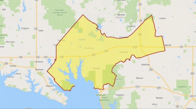
- Enhances Mapping Accuracy: Exact location details enhance mapping features, aiding in navigation, urban planning, and infrastructure management.
- Facilitates Data Analysis: Cleaning noise by removing distortions leads to more robust analysis, fueling decision-making.
Actionable Insights
By utilizing GeoAI Noise Reduction, businesses and agencies can unlock the full potential of their geographic datasets. This includes:
- **Smart City Development:** Enhance urban planning by using clean and precise geographic data.
- **Effective Disaster Response:** aid disaster recovery efforts by providing accurate damage assessment through precise localization.
- **Efficient Resource Management:** Identify areas that need attention through precise data and impactful decision-making in land use, water management, and other fields.

