GeoAI in Real Estate – Property Valuation
GeoAI in Real Estate – Property Valuation
Unlocking Property Value with Geospatial Artificial Intelligence
The real estate market is a dynamic and complex landscape, with factors ranging from location, size, to micro-economics impacting property value significantly. And with increasing demand for data-driven decisions, real estate professionals need methods for leveraging information like never before. Enter **GeoAI (Geospatial Artificial Intelligence)** – a powerful tool transforming Property Valuation.
This post explores the ins and outs of GeoAI, its functionalities, and its benefits for real estate agents, investors, and anyone involved in property transactions. We’ll uncover how GeoAI helps accurately predict property values, identify promising locations, and optimize investment strategies.
What is GeoAI in Real Estate?
GeoAI refers to the application of artificial intelligence techniques to analyze geographic data. It uses powerful algorithms to extract insights from spatial-temporal datasets such as:
* **Real Estate Data:** Property details, historical price records, surrounding infrastructure etc.
* **Remote Sensing Data:** Imagery from satellites and drones providing vital insights into buildings, land changes, and vegetation surrounding properties.
* **Demographic Data:** City planning information, population trends, and social indicators impacting neighborhood demand.
* **Economic Data:** Local market trends, employment rates, and income levels analyzing the potential for appreciation.
By combining all this data, GeoAI creates detailed spatial representations, analyzes patterns, and builds sophisticated predictive models.
Key Advantages of GeoAI for Property Valuation
* **Enhanced Accuracy:** Traditional methods often struggle with complex factors impacting property value. GeoAI can account for neighborhood demographics, traffic patterns, and even microclimate conditions using real-time and historical data, providing far more accurate property valuations.
* **Data-Driven Analysis:** GeoAI eliminates bias and emotional factors by relying on factual data analysis. This reduces subjectivity in valuations, resulting in transparent and reliable insights.
* **Opportunity Identification:** Identifying potential areas for investment based on real-time metrics like transportation network progress, population density, and demand trends.
* **Urban Planning:** GeoAI helps optimize resource allocation and identify development opportunities, impacting future real estate potential.
* **Enhanced Risk Assessment:** GeoAI assists in evaluating potential risks specific to a neighborhood or property – for example, flood zones, infrastructure development gaps, or crime rates.
Practical Applications of GeoAI in Real Estate
Let’s take a look at some concrete examples of how GeoAI is boosting property valuation:
* **Automated Valuations:** Software like Dynamo** using GeoAI synthesizes analyzed data to calculate automatic, property-specific valuations, reducing the time and cost of research and analysis for both agents and buyers.
* **Personalized Marketing & Investment Strategy:** GeoAI allows for targeted marketing campaigns for properties located within specific economic and demographic ranges, helping clients reach the right audience.
* **Risk Mitigation:** Identify property scores based on geospatial data about accessibility, support services, and market confidence, identifying potential risks like flooding, crime, or school quality issues.
* **Property Management Optimization:** Real estate companies can utilize GeoAI to optimize asset management strategies by assessing rental rates, vacancy rates, and potential property improvements based on neighborhood trends and demographic shifts.
Resources for Exploring GeoAI in Real Estate
1. **MartinP Morgan (https://www.linkedin.com/in/martin-morgan-1b1a259/)**: An authoritative resource for practical GeoAI insights in the real estate sector.
2. **GeoAI Direct (https://geoai-direct.com/)**: Offers tutorials and resources on GeoAI.
3. **McKinsey Global Institute**: Their research on the use of data and AI across industries, including real estate, is invaluable.
Conclusion
GeoAI is revolutionizing how we approach property valuation, generating data-driven insights that are embedded in the properties and neighborhoods. With its automation, accuracy, and potential for the long game, GeoAI is becoming a critical tool for anyone seeking to optimize their real estate strategies.
By embracing GeoAI, real estate professionals can unlock hidden market trends, confidently analyze data, and ultimately strengthen their position in the industry.
## GeoAI in Real Estate: Property Valuation & Market Prediction – FAQs
This FAQ covers common questions about geoAI applications for real estate property valuation and market prediction.
What is geoAI in real estate?
GeoAI refers to the application of artificial intelligence, particularly geographic information systems (GIS) techniques, to analyze spatial data and derive insights about real estate properties.
For property valuation and market prediction it uses AI technologies like:
* **Supervised Learning:** AI trained on historical property data (sales, prices) and external factors like location, zoning, demographics to accurately predict valuations.
* **Unsupervised Learning:** AI exploring patterns and correlations within spatial and non-spatial data to identify trends and predict future value adjustments.
* **Deep Learning:** AI with complex learning algorithms fueled by massive datasets for highly accurate valuations, especially with limited historical data.
How does GeoAI-based modelling predict market trends?
GeoAI assesses factors like:
* **Location:** Density, proximity to hotspots like schools, hospitals, or employment centers.
* **Property features:** Size, style, amenities, and geographical features like slopes or nearby waterways.
* **Macroeconomic indicators:** Interest rates, inflation, economic downturns, and their impact on chosen areas.
* **Social and demographic trends:** Population changes, age groups, and their influence on property demand and rental rates.
* **Historic data:** Past pricing trends for similar properties, foreclosed sale data, or market fluctuations.
This data is used in models to create dynamic forecasts of:
* **Average property prices:** General trends for different property categories in a given location.
* **Rental rates:** Predicts rental value adjustments based on location, property size, amenities, and seasonality.
* **Market appreciation:** Tracks local real estate market performance and potential future growth.
Am I able to access GeoAI real estate models in real-time?
Many geoAI tech providers offer open APIs that allow developers to fully integrate their models into existing systems. This approach ensures real-time accessibility to geoAI insights for market prediction, property valuation, and analysis. You can also access GeoAI tools and information directly through [interface or platform example](link to platform/tool).
What formats are available for GeoAI results and models?
GeoAI tool providers today typically offer these formats for service access and applications:
* **Web interfaces:** User-friendly software with dashboards allowing users to browse and analyze geographic data.
* **APIs:** Open access providers that integrate their services with any client (developers can build end-to-end applications).
* **Proprietary tools:** Environments and platforms designed for professional real estate teams and agencies.
How can I implement GeoAI in my real estate company?
Adopting GeoAI in stages is recommended:
1. **Evaluate your needs:** Identify specific requirements and prioritize use cases like property valuation, market analysis or rental forecasting.
2. **Partner with a provider:** Choose a reputable provider that offers reliable API integration and technical support.
3. **Develop customizable solutions:** Tailor the delivered solutions to suit your distinct needs in terms of data sets, visualizations, and advanced analysis.
4. **Utilize user training resources:** Learn to leverage the model’s capabilities and effectively interpret its results to make informed, data-driven decisions.
### GeoAI: Your Advantage in the Real Estate Market
GeoAI is rapidly revolutionizing the real estate industry offering unparalleled understanding and predictive capacity. Integrating these technologies into your existing workflow can provide:
* **Faster and more accurate valuations.**
* **Improved decision-making for property purchases and investments.**
* **Greater marketing precision, targeting renters and investors with the right data and insights.**
* **Streamlined market analysis for insights on spot-trend pricing, demographic shifts, and economic forecasts.**
The future of real estate lies in leveraging real-time information, geospatial data, and AI to cultivate human expertise, leveraging GeoAI approaches is crucial for actionable insights, better business decisions, and attracting high-value clients.
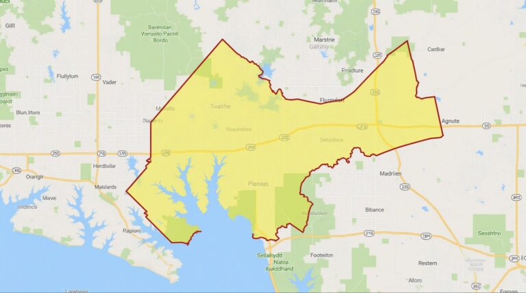
Queen Road Property Information
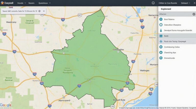
Real Estate Application Example
For a deeper dive on this topic, please refer to our GeoAI resources and case studies.