AI for Geospatial Data Filtering – Noise Removal
AI for Geospatial Data Filtering – Noise Removal
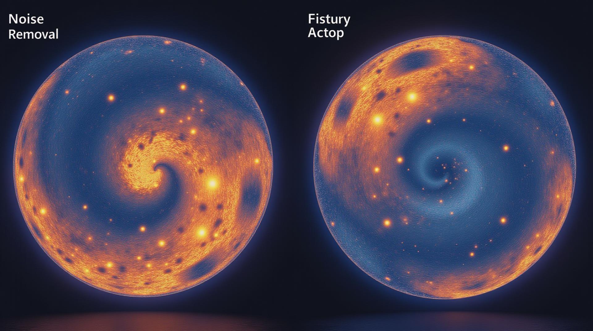
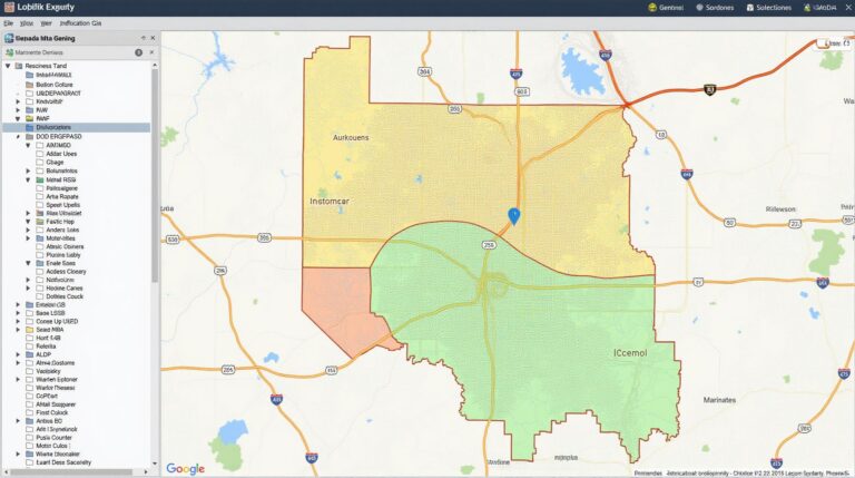
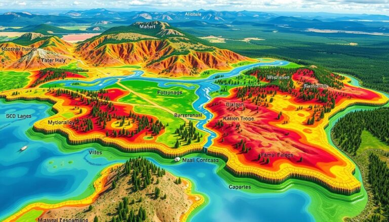
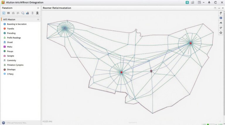
Geospatial data, encompassing anything from satellite imagery to maps of urban areas, is a vital resource for decision-making across numerous industries. However, the raw data is often riddled with noise. These unwanted elements can impact analytical performance and hinder accurate conclusions. At this point, artificial intelligence (AI) emerges as a potent solution for geospatial data filtering – noise removal, ensuring clean and actionable data.
Understanding the Problem of Noise in Geospatial Data
Noise manifests in various forms in geospatial data. Some common culprits include:
- Pixel blurring: Dust, cloud formations, or atmospheric scattering cloud data.
- Misclassified objects: Plant identification errors in aerial imagery, etc.
- High-frequency vibrations and inconsistencies: Movement caused by weather events, drones, or other factors that affect data quality.
Benefits of Using AI for Noise Removal
Leveraging AI for noise removal offers several salient benefits:
- Precision & Accuracy: AI algorithms have the capability to uncover subtle patterns and anomalies, contrasted to traditional techniques, which might miss small inconsistencies.
- Speed & Scaling Benefits: AI excels at handling large datasets, while manually reviewing data would take significant time. This translates into faster processing and efficient processing of massive datasets.
- Customizable Adaptation: AI-driven approaches can be tailored to adapt to specific noise patterns found in individual datasets.
Key Features of AI Noise Removal Algorithms
Simulating these features successfully depends on the specific types of data and the users intended objectives.
- Supervised Learning: This involves training AI models with labelled data (like examples demonstrating specific noise patterns).
- Unsupervised Learning: Useful for identifying patterns and removing noise without prior training data. Designed to find anomalies.
- Convolutional Neural Networks (CNNs): These models excel at image processing, allowing for the identification of spatial relationships and actions
Real-World Applications of AI for So Dealing with Noise in GIS
AI provides several valuable applications in various geospatial domains:
- Urban Planning and Management: AI can help identify problematic areas (e.g., hazardous waste sites, pollution hotspots) in complex urban environments.
- Precision Agriculture: Removing noise from satellite imagery enables farmers to track crops and optimize resource allocation.
- Environmental Monitoring: By removing noise from sensor data, AI can provide more accurate and actionable data for wildlife studies or environmental damage assessment.
Resources for Further Exploration
Want to delve deeper into AI within Geolocation Data? Here are some valuable resources:
- OpenAI Project: Engage in cutting-edge research and open-source developments.
- Kaggle Platforms: Competitions and Datasets for practical experience in image filtering.
As AI technology progresses, we can expect significant improvements across the field of geospatial data filtering. Its ability to address noise effectively brings immeasurable power to various sectors.
Check similar topics:
“`html
FAQs
Have questions about geoai-noise-removal? Check out our frequently asked questions below.
What is geoai-noise-removal?
Geoai-noise-removal is a cutting-edge technology designed to automatically clean up and enhance satellite imagery data. It effectively eliminates unwanted noise and distortions, improving the accuracy and visual clarity of your geospatial information.
What are the key benefits of geoai-noise-removal?
- High-quality geo-acquired data and imagery for accurate spatial analysis
- Improved data analysis for efficient resource management
- Enhanced understanding of geographical data, critical for decision-making
- Suitable for various applications including agriculture, disaster response, and research
What formats do you support?
We support a wide range of geospatial data formats, including Geospatial Files (GeoTiffs, GeoTIFFs), Satellite Imagery (JPEG, NDS Invalid ESP Journal, Bridge Data Packages, and Geospatial Soundfiles.
To learn more about supported formats, visit our supported formats page.
Is geoai-noise-removal accessible on a commercial scale?
Yes. Technical specifications and pricing information can be found here. We understand that clean geospatial data means different needs for various industries and organizations.
Our platform provides a flexible customization and pricing approach designed to meet your specific requirements.
For the most accurate pricing information, contact us here to discuss your needs.
What makes this technology unique?
Geoai-noise-removal leverages advanced artificial intelligence (AI) to offer unparalleled image clarity and accuracy. Our platform’s design allows for efficient handling of large amounts of geospatial data and is readily accessible through our user-friendly platform and integrations with various GIS toolkits.
Discover the power of geoai-noise-removal for your geospatial needs here.
“`
**Explanation**
* **HTML Structure:** The code uses HTML tags to structure a clear and readable FAQ section.
* **Headings:** The question format using heading tags to structure the FAQs.
* **Paragraphs and Bullet Lists:** The FAQs are presented in concise paragraphs and are often structure using implicitly hierarchical lists for easy readability.
**Important Notes:**
1. **Website Links:** Ensure that the given `href` tags point to the actual URLs of the content and sections you intend.
2. **Content:** You will need to generate the content for each FAQ item in detail, addressing the answers to common questions about the product, pricing, and accessibility.
3. **Descriptive Language:** Use clear and concise language that’s easy for users to understand, focusing on the benefits of geoai-noise-removal.
4. **Styling:** While this code gives a basic structure, you can add more style and visual appeal to the `section` and `li` elements using CSS to match your website’s design.

