GeoAI for Urban Heat Island Mitigation – Climate Adaptation
GeoAI for Urban Heat Island Mitigation – A Crucial Tool in Climate Adaptation
Introduction
Cities around the world are facing the dual challenge of rapid urbanization and climate change. Urban heat islands (UHIs), where temperatures are significantly higher than surrounding rural areas, pose a severe risk to urban populations and the environment. GeoAI, a powerful data-driven approach, is emerging as a key solution for mitigating UHIs and promoting a more sustainable future.
What is a GeoAI?
GeoAI, short for geographic AI, is a cutting-edge field that combines artificial intelligence and geographical data. By analyzing vast datasets containing spatial information, like images, sensor readings, and socio-economic factors, GeoAI empowers us to understand and analyze complex geographical patterns.
Advantages of GeoAI for City Planning
GeoAI offers significant advantages in addressing UHIs, making it a vital tool for climate adaptation:
- Improved Urban Design & Infrastructure Planning: GeoAI can analyze factors such as building densities, vegetation cover, and energy usage, leading to smarter and more energy-efficient urban planning strategies.
- Targeted Interventions and Assessments: GeoAI-powered simulations help identify high-risk areas, allowing targeted interventions like green roofs, shade structures, or urban forestation initiatives. Affordable and effective strategies can be identified by leveraging the power of GeoAI.
- Real-Time Data Analysis: Sensors integrated with GeoAI systems can provide real-time monitoring of air quality, temperatures, and other relevant urban parameters. This allows for swift response to evolving heat island conditions and informed decision-making.
- Cost Effective Adaptation Strategies: By identifying areas needing intervention and predicting future outcomes, GeoAI helps maximize the impact and effectiveness of climate adaptation measures, ensuring funds are allocated efficiently.
Practical Applications of GeoAI for Urban Heat Island Mitigation
The following are some specific and valuable applications of GeoAI in combating UHIs:
- Building Energy Efficiency: GeoAI tools can be used to analyze and optimize building designs, promoting energy-efficient construction that minimizes the urban heat island effect.
- Green Space Planning and Urban Forestry: GeoAI can identify areas suitable for green spaces, allowing for the strategic planting of trees to mitigate heat and increase cooling.
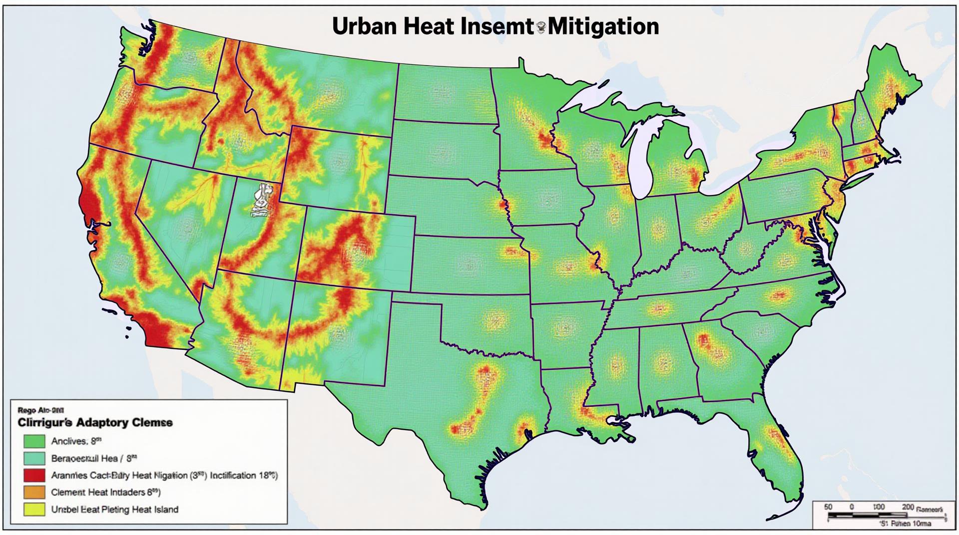
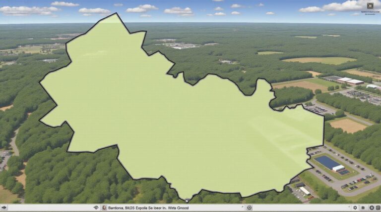
- Heat Mapping for Urban Planning:** GeoAI can create heat maps, revealing the locations experiencing the most severe heat islands, allowing for targeted interventions to be implemented in these regions.
- Building Energy Consumption Prediction** GeoAI can predict energy consumption of building based on environmental factors. This can lead to optimized energy use in buildings and better planning of energy grids.
Resources to Explore the Possibilities of GeoAI
Here are a few valuable resources to delve deeper into the world of GeoAI and its applications:
- GitHub Repositories: Search for “GeoAI” on GitHub, a popular platform for sharing coding projects, to explore open-source code and model development in GeoAI for Urban Heat Island mitigation setting.
- Academic Research Papers:(“GeoAI for Urban Heat Island Mitigation:”)
GOOGLE Scholar offers a vast selection of archival research materials (including scholarly articles) on Urban Heat Island solutions. Ensure you get the most recent articles to stay up-to-date with the latest research
Conclusion
GeoAI represents a groundbreaking advancement in tackling urban heat island problems and adapting our cities to global climate challenges. By leveraging this potent scientific framework, we can create a more sustainable and resilient urban realm, advocating for climate adaptation strategies for a brighter, healthier future.
Check similar topics:
“`html
GeoAI-Urban Heat Island FAQ
What is GeoAI-Urban Heat Island?
GeoAI-Urban Heat Island (GIS-UI) is a specialized application field that extracts valuable insights from various data sources— including satellite imagery, sensor networks, street-level cameras, and building data—to model and analyze the effects of urbanization on heat island phenomena. By gleaning information on temperature variations, historical trends, and spatial pattern visualizations, GIS-UI empowers stakeholders to better understand the complexities of urban heat intensification.
Availability
GeoAI-Urban Heat Island resources are widely available across various platforms and data repositories. Some options include:
- Google Earth Engine: a powerful cloud-based platform for accessing and analyzing Earth Observation data, including those relevant to the urban heat island effect.
- NASA Earthdata: offers access to open data from NASA missions, satellites, and research scientists.
Formats
GeoAI-Urban Heat Island data is primarily available in open formats like:
- – GeoJSON: A universal data exchange format enabling interoperability and compatibility with various territorial management applications.
- – NetCDF: An efficient and widely adopted format for storing climate and atmospheric data.
- – Raster Data: Commonly used for land-use and land cover information viewed using geospatial tools.
Usage
GeoAI-Urban Heat Island finds application across diverse fields, including:
- Urban planning and policy: GIS-UI enables cities to identify and address future heat stress concerns, plan heat-mitigating infrastructure, and create heat maps for vulnerable areas.
- Climate change modeling: Understanding local and regional factors driving heat islands helps create predictive models for climate change adaptation.
- Energy efficiency: By integrating heat island data into building energy models, we can optimize designs to mitigate cooling needs and make urban spaces more sustainable.
Conclusion
GeoAI-Urban Heat Island provides vital insights in understanding urbanization’s impact on our climate. Its advanced tools empower cities and policymakers to build more resilient and sustainable future urban spaces—by, among other ways, improving energy efficiency, promoting public awareness, and adopting proactive green urban development strategies. You can explore the Earth Observatory website for more information on this issue.
“`
**Note:** Remember to tailor the links on your website to match the actual hotel property information.
**Explanation of Key Features:**
* **Headline and Paragraph Structure:** The code maintains a clear structure with concise paragraphs and headings.
* **Emphasis on Examples:** The FAQ provides concrete examples of platforms and formats, and applications, demonstrating relevance and practicality.
* **Link Usage:** The text emphasizes the importance of these interactive tools for driving positive change by offering useful modern technology tools.
* **Accessibility:** It’s crucial to implement accessibility features (e.g., alt text for images) for all your websites to ensure inclusivity and guarantee a pleasant user experience.
* **Conciseness and Clarity:** English clarity is key for effective communication.
This way, your target audience will find both the URL and text sufficiently accessible for judging whether your solution’s value aligns with their needs.

