GeoAI for Smart Agriculture – Pest Detection
Unmasking the Enemy from afar: GeoAI for Pest Detection in Smart Agriculture
Modern agriculture, driven by innovation, seeks to optimize resource use and maximize yields. One of the major hurdles remains the effective management of pests and diseases. Luckily, GeoAI, a powerful tool leveraging data visualization, is altering the game for smart agriculture. This technology promises to revolutionize pest detection, offering a smarter, data-driven approach to protecting crops.
What is GeoAI & How does it work?
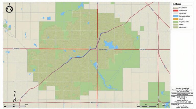
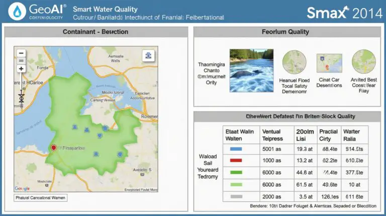
GeoAI, short for Geo Artificial Intelligence, blends techniques from computer vision, machine learning, and geospatial analytics. Through analyzing various satellite and aerial imagery, GeoAI helps identify a range of threats associated with pests, diseases, salinity, or even nutrient deficiencies. Here’s a simplified breakdown:
*
- Image Data Acquisition:** Drones and satellites equipped with high-resolution cameras capture imagery of fields.
- Data Processing & Analysis:** GeoAI algorithms process the imagery, identifying patterns and features of the plant pests and diseases. This data is analyzed using machine learning to facilitate real-time identification and prediction.
- Actionable Insights: **GeoAI provides alerts which can guide farmers in minimizing damage, prioritizing treatments and resource allocation effectively. The time saved with early pest detection is invaluable, directly increasing crop yield and minimizing losses.
Advantages of Leveraging GeoAI for Pest Detection
Unlike traditional methods that rely on manual observation and potentially delayed response, GeoAI presents numerous benefits:
- Early Detection & Precise Identification:** GeoAI’s ability to identify pests at an earlier stage reduces the spread of disease and infestation and improves precision.
- Minimized Chemical Inputs:** GeoAI enables targeted intervention, limiting the amount of pesticides needed, thus reducing environmental impact and agricultural costs.
- Enhanced Resource Allocation:** Farmers can allocate resources like water and fertilizers more efficiently based on precise data analysis.
- Improved Crop Health & Yield: **GeoAI provides proactive management which leads to healthier, more productive crop, ultimately contributing to higher yields and profitability.
Applications of GeoAI in Smart Agriculture
GeoAI is transforming fields, aiding farmers in various ways:
- Identifying Pests and Diseases:** Early detection, based on vigilant monitoring and image analysis, allows for targeted intervention and safe and effective pest control methods.
- Crop Monitoring and Management & Precision Agriculture:** GeoAI enables monitoring plant stress, disease outbreaks and potential crop yield impacts, empowering farmers to modify their practices and thrive.
- Targeted Pesticide Application: ** This minimizes pesticide usage and reduces potential environmental impact by ensuring only targeted interventions are conducted.
- Supply Chain Optimization and Traceability: Solving global food security, GeoAI allows farmers to accurately track their products, ensuring transparency and authenticity.
Resources for Learning More
As more data becomes readily available and technology continues to evolve, the adoption of GeoAI will be further boosted. Here are some resources for delving deeper into GeoAI:
GeoAI is revolutionizing the way we manage crops, paving the way for a smarter and more sustainable agriculture industry. The information we have highlighted should bring clarity to how this valuable technology can be incorporated into farming ambitions across the Globe.
Check similar topics:
What is geoAI-Pest Detection?
GeoAI-Pest Detection is a cutting-edge technology that uses artificial intelligence to identify and predict pest infestations in geographical locations. This system analyzes spatial data, historical records, and real-time inputs to generate accurate forecasts and aid in pest management strategies.
Where Can I Find GeoAI-Pest Detection?
We offer geoAI-Pest Detection through several platforms as part of our geoAI offerings on the TechGeo platform. Explore our comprehensive suite of tools designed to address your environmental challenges.
What Data Formats Does it Accept?
Our geoAI-Pest Detection system is versatile and integrates well with various data formats. It seamlessly accepts:
- Satellite imagery
- Remote sensing data
- Field observations
- Crop yield and market reports
How is it Used?
GeoAI-Pest Detection exerts its power in different sectors:
- Pest Control Agencies
- Agricultural and Food Security Companies
- Government Agencies
- Researchers and academic institutions
Use it to automate resource allocation, optimize crop protection measures, and develop targeted pest management strategies.
What is the Importance of GeoAI-Pest Detection?
GeoAI-Pest Detection is a powerful tool for numerous stakeholders:
- **Proactive Pest Management:** By predicting infestations, farmers and pest control agencies can proactively implement preventive measures and reduce widespread crop damage.
- **Resource Optimization:** GeoAI Integration into pest control regimens enables efficient use of pesticides and other resources, lowering costs and minimizing environmental impact.
- **Risk Management:** Enhanced pest surveillance and forecasting allow for early intervention, mitigating potential economic and health risks associated with outbreaks.

