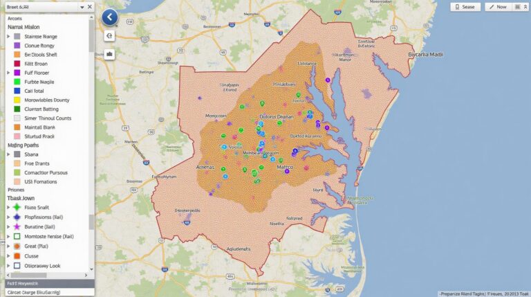
GeoAI for Smart Transportation – Public Transit Optimization
GeoAI for Smart Transportation: Public Transit Optimization
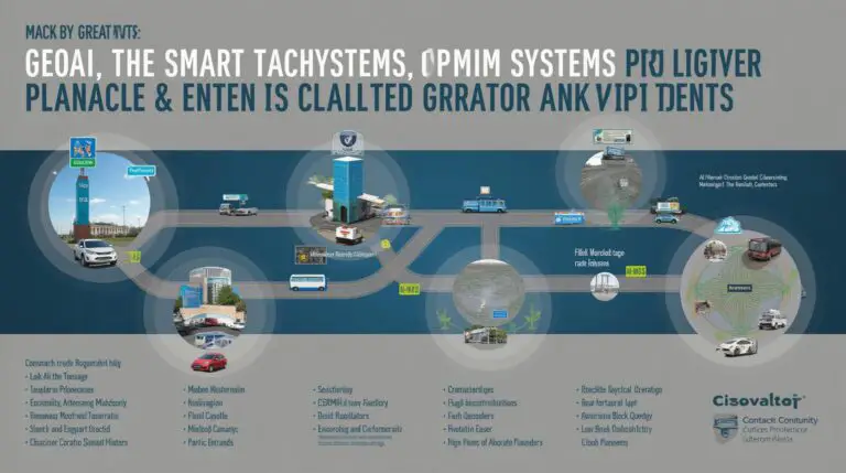
The future of public transit is intelligent. Geographic Artificial Intelligence (GeoAI) is revolutionizing transportation by optimizing existing systems through advanced data analysis and predictive models.
What is GeoAI?
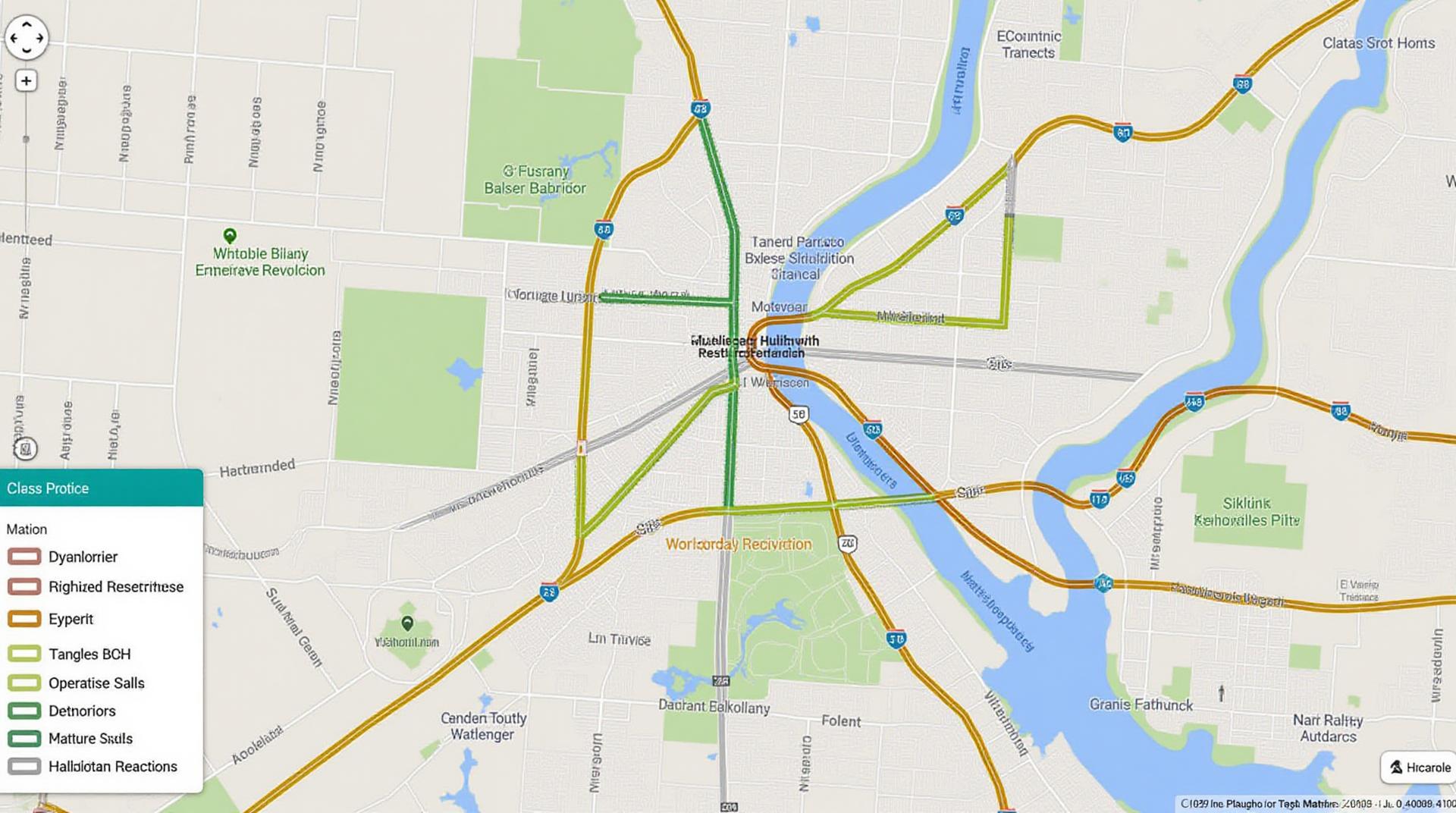
“GeoAI,” in essence, blends ground-level geographic information with artificial intelligence to analyze real-time driver behavior and patterns, traffic flow, and geographic attributes like population density. This powerful approach provides insights that can significantly improve public transit operations and travel experiences.
How Does GeoAI Work in Public Transit Optimization?
- Route Optimization: GeoAI analyzes historical and real-time traffic data to develop optimal bus routes. Optimized routes minimize travel time, maximize passenger capacity, and reduce fuel consumption.
- Dynamic Routing: Real-time updates on traffic conditions, accidents, and delays are integrated into algorithms that dynamically alter transit routes. This allows services to adapt swiftly to changing conditions and ensure reliable service provision.
- Demand Forecasting: GeoAI can predict passenger demand patterns at various transit stops based on historical data, real-time surveillance data, and external factors like weather or events. This data informs scheduling and scheduling adjustments.
- Passenger Behavior Analysis: GeoAI analyzes real-time data from passenger movements, wait times, and disembarkation points to gain insights into passenger behavior. This improves the allocation of resources, planning of services, and enhancing passenger comfort.
Key Benefits of GeoAI in Public Transit
The adoption of GeoAI for public transit optimization yields several immense benefits:
- Increased Efficiency and Reduced Costs: Optimized routes and demand adjustments translate to greater operational efficiency and cost savings for transit agencies.
- Enhanced Service Delivery: GeoAI ensures reliable and predictable transit services by predicting and adapting to real-time changes. This enhances passenger satisfaction and trust.
- Improved Sustainability: Using predicted traffic patterns, GeoAI allows transit systems to optimize routes and schedules more efficiently, reducing overall energy consumption and greenhouse gas emissions.
- Data-Driven Decision Making: GeoAI provides a solid foundation for data-driven decision-making, helping transit agencies plan, invest in new technologies, and adjust policies for an optimized and efficient future.
Practical Applications of GeoAI
The potential applications of GeoAI in public transit are vast and constantly evolving:
- Traffic Light Control Optimization: Optimize traffic signals and junction sequencing to maximize traffic flow and reduce congestion.
- Real-Time Public Transportation Information Systems: Provide accurate and timely information to passengers on bus locations, delays, and alternative routes.
- Intelligent Parking Management:** Optimize parking space allocation and facilitate smart parking guidance for passengers.
- Demand-Responsive Transit Systems:** Implement on-demand public transit services tailored to specific accessibility or mobility needs.
Resources for Learning More
Embark on your GeoAI journey with these resources:
- OpenStreetMap Foundation: https://www.openstreetmap.org/
- Moovit App: https://moovitapp.com/
- Centre for Connected and Autonomous Vehicles (CCAV): https://cam.org.uk/
GeoAI is poised to revolutionize public transportation by boosting efficiency, reducing costs, and enhancing passenger satisfaction. Embrace the power of GeoAI and ensure a sustainable and well-equipped future for public transit!
Check similar topics:
GeoAI Public Transit Optimization: FAQs
This section outlines answers to common questions about geoAI-public-transit-optimization on our platform.
What is geoAI-public-transit-optimization?
GeoAI-public-transit-optimization uses artificial intelligence and geo-spatial data to optimize public transportation routes, schedules, and resource allocation. It achieves this by analyzing factors like traffic, passenger demand, and real-time data to provide more efficient and user-friendly transit services.
Is geoAI-public-transit-optimization available on your platform?
Yes! You can access our geoAI-public-transit-optimization solutions at [https://www.techgeo.org/geoai-public-transit-optimization](https://www.techgeo.org/geoai-public-transit-optimization).
What formats does geoAI-public-transit-optimization offer?
We provide the functionality as a dedicated service, allowing you to use it in various ways.
- Web-based interfaces for easy access and visualization.
- APIs for customization and integration with existing systems.
- Data visualization tools for analyzing and reporting on your transit data.
How can I use geoAI-public-transit-optimization?
Our platform comes with user-friendly tutorials, documentation, and support. You’ll learn:
* Defining your optimization goals
* Integrating your transit data
* Selecting the best model
* Visualization dashboards.
Where can I find more information on this topic?
For the latest updates, research publications, and insights into the application of geoAI-public-transit-optimization, visit our dedicated section at [https://www.techgeo.org/geoai-public-transit-optimization](https://www.techgeo.org/geoai-public-transit-optimization).
Important takeaway
Integrating geoAI-public-transit-optimization significantly enhances the efficiency, cost-effectiveness, and user experience of public transit. By optimizing routes, timings, resource allocation, and using data insights, we can build more competitive, sustainable, and responsive transit systems with better accessibility.
Actionable insights
Here are some actionable insights to consider:
- Utilize geoAI-public-transit-optimization to enhance bus, train, and metro schedules, making them more reliable and convenient.
- Improve service frequency and connectivity through data-driven scheduling models, optimizing passenger demand and service level.
- Plan for green and sustainable transit solutions by integrating data with real-time congestion monitoring, helping optimize routes and operations.

