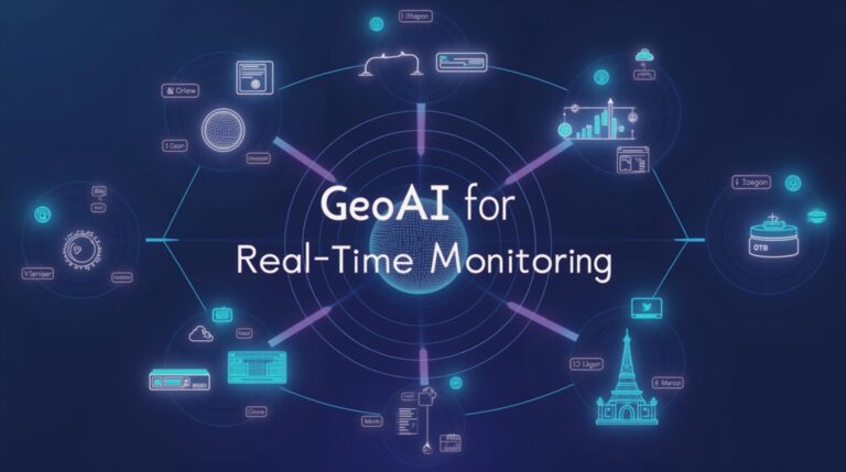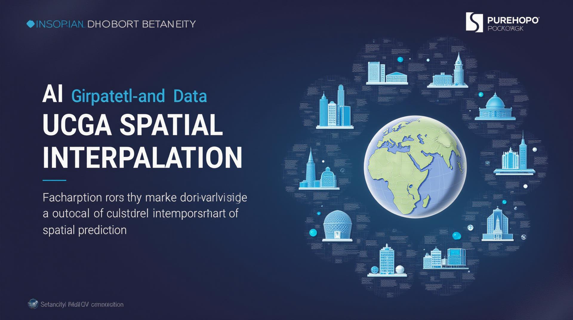
AI in Geospatial Data Interpolation – Spatial Prediction
AI in Geospatial Data Interpolation: Spatial Prediction
The world of geospatial data, with its vast amount of information about our planet, is becoming increasingly reliant on advanced analysis. Geospatial data interpolation is a powerful tool that fills data gaps and creates comprehensive representations, transforming raw datasets into actionable insights. Let’s venture into the exciting world of Artificial Intelligence (AI) and see how it is revolutionizing spatial prediction.
What is Geospatial Data Interpolation?
In simple terms, geospatial data interpolation fills in missing data points in a geographic dataset using algorithms. The goal is to predict gaps and patterns, creating a more complete and accurate representation of a phenomenon that spans space. Consider an aerial image with thin data coverage, this would require interpolation to determine what is missing. A country’s population growth over time is another application where interpolation in mapping populations can be used to predict where to locate future schools, hospitals, or firehouses.
The Power of AI in Geospatial Data Interpolation
Traditional interpolation methods have their limitations, relying on a finite number of known data points and often struggling with complex spatial structures and real-world uncertainties. That’s where AI comes into play, injecting a potent dose of machine learning and deep learning into the process.
These advanced techniques use algorithms to:
- **Identify intricate patterns:** AI can detect subtle correlations and establish relationships between variables that lie outside the scope of traditional spatial analysis.
- **Handle complex geometries:** Unlike traditional interpolation methods, AI can efficiently process intricate geographical boundaries and terrain variances.
- **Account for noise and uncertainty:** AI can handle noise and uncertainties in the data and provide a more realistic prediction based on observed patterns and exceptions within location and their surrounding environment.
- **Learn from massive datasets:** AI algorithms can harness massive datasets, extrapolating patterns and insights from diverse data sources to enhance the accuracy of predictions.
These benefits open doors for even more advanced applications.
Benefits of Using AI for Spatial Prediction
- **Improved Accuracy:** AI-powered kriging produces highly accurate interpolated maps with minimal error, boosting the quality and reliability of spatial information.
- **Increased Automation:** AI handles the complex calculations involved in interpolation, streamlining the process and allowing users to concentrate on interpretation and visualization.
- **Wider Applications:** AI enables predictions and analysis on untapped areas and allows characterizations of spatial patterns at both large and fine scales, leading to new insights, predictions, and decision-making.
Applications of AI in Geospatial Data Interpolation
The applications of AI in geospatial data interpolation are truly diverse. Here are some noteworthy examples:
- Climate Change Modeling: Predicting temperature changes or movement of glaciers.
- NaturalDisaster Response: Examining evacuation paths from natural disasters.
- Agriculture and Livestock Management: **Optimizing crop yield predictions or agricultural resource allocation.
- Smart Cities Development: ** Enhancing urban planning based on transportation patterns or congestion.
- Renewable Energy Sites: ** Predicting locations for efficient and clean energy sources.
Learning More About Geospatial AI
Ready to dive deeper into AI’s potential in geospatial data? Here are some resources for learning more:
- Cloud Computing Platforms: (Google Earth Engine, Amazon Web Services, Microsoft Azure)
- AI Research Papers: ** Explore cutting-edge research publications on spatial prediction and AI.
- Online Courses and Tutorials: ** Gain practical knowledge through courses like those available on Coursera, EdX, and Udacity.
(Note: When following these sources, remember that accuracy and reliability are crucial. Steer clear of outdated information or biased materials.)
Conclusion: The Future of Geospatial Data Analysis
AI is poised to redefine how we understand and interact with our world. As geospatial data grows in both quantity and complexity, AI provides a powerful paradigm shift in spatial analysis, enabling us to uncover hidden patterns and delve into decision-making at unprecedented depths.
Check similar topics:
FAQs
Availability
geoai-spatial-prediction is available through our freely accessible platform at www.techgeo.org/platform.
Formats
geoai-spatial-prediction supports multiple formats for spatial data input. Supported formats include:
- Shapefiles
- GeoJSON
- CSV
Usage
To utilize geoai-spatial-prediction, simply upload your spatial dataset through our platform and select the desired prediction model.
geoai-spatial-prediction offers various built-in prediction functionalities to tackle spatial problems including:
- Geomapping
- Traffic analysis
- Predictive modeling
- Spatial clustering
The Importance of GeoAI-Spatial Prediction
GeoAI-spatial prediction is revolutionizing spatial analysis by enabling the application of artificial intelligence to
complex spatial challenges. Its ability to learn and extract insights from spatial data provides valuable
information for improving decision-making across various sectors:
* **Efficient resource management:** Optimizing land use, infrastructure planning, and environmental conservation.
* **Smarter urbanization**: Planning transportation networks, predicting congestion, and optimizing public service delivery.
* **Predictive analysis**: Forecasting natural disaster risks, understanding environmental impacts, and supporting smarter urban growth.
This is the link to our Platform