GeoAI for Smart Water Conservation – Resource Management
GeoAI for Smart Water Conservation — Resource Management
The global water supply is facing increasing strain under the pressure of a growing population, climate change, and unsustainable consumption practices. GeoAI, a powerful technology with the ability to harness geographical information and artificial intelligence, presents a revolutionary approach to managing this precious resource. By providing insights into water usage patterns and availability across different regions, GeoAI empowers organizations to optimize water resource management, encourage responsible consumption, and ultimately safeguard our planet.
Key Features of GeoAI for Smart Water Management
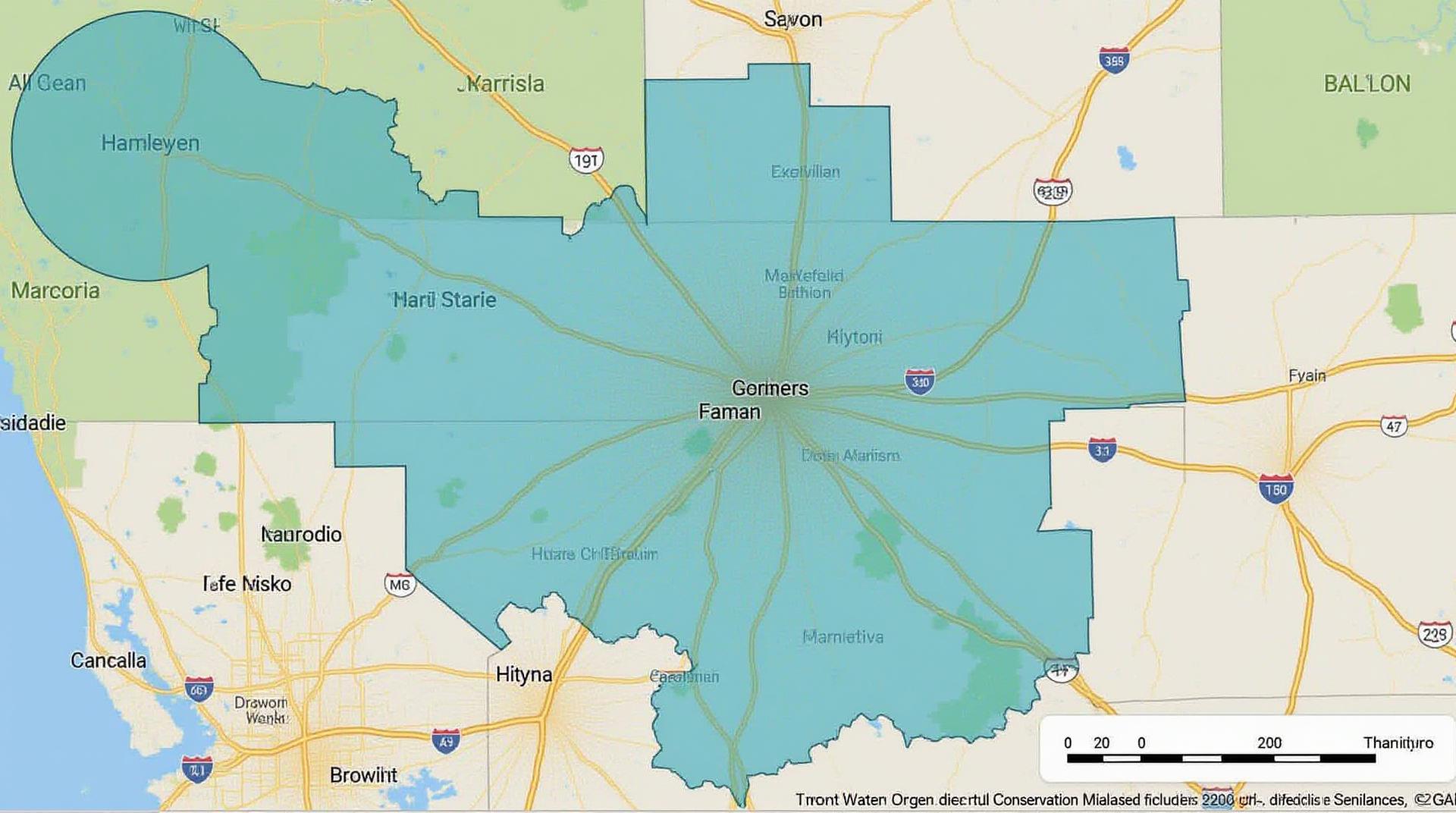
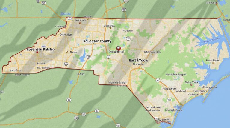
- Spatial Big Data Analysis: GeoAI transforms vast quantities of raw data across various sources—like soil moisture, rainfall patterns, groundwater levels, and municipal water usage—into actionable insights. Replacing traditional reliance on static data with dynamic spatial maps, which illustrates how these elements interact.
- Predictive Modeling: GeoAI predicts future water demand, scarcity, and potential leaks. This enables stakeholders to proactively allocate water resources and adopt preventative measures to minimize losses.
- Real-Time Data Integration: GeoAI seamlessly integrates data from various sensors, drones, satellites, and smart meters. Enabling real-time monitoring of water usage and infrastructure health, allowing for immediate responses to fluctuations in supply and demand.
- Personalized Irrigation Management: GeoAI enables precise irrigation for different crops and regions, reducing excessive water use and supporting soil health. This is achieved by analyzing soil conditions, weather data, and plant requirements to optimize water application timing and quantity.
Benefits of GeoAI for Water Conservation Efforts
Embracing GeoAI for Resource Management brings a host of benefits across various aspects of water conservation:
- Reduced Water Waste and Losses: By identifying leaks and inefficiencies in infrastructure, GeoAI ensures optimal water use, minimizing wastage and ensuring maximum economic return amidst the critical resource scarcity.
- Cost Savings: Adaptive irrigation strategies, leak detection, and optimized water distribution lead to significant infrastructure cost savings.
- Sustainable Practices: GeoAI supports the adoption of responsible water usage behaviors and fosters a culture of conservation.
- Enhanced Resiliency: By predicting droughts and flood events, GeoAI minimizes the damage caused by extreme weather, allowing for timely preparedness and quicker recovery.
Practical Applications of GeoAI in Water Management
The adaptable and detailed nature of GeoAI applications holds immense potential across various sectors:
- Irrigation Management for Agriculture: GeoAI optimizes irrigation schedules and system performance, empowering farmers to increase agricultural yields with less water.
- Water Leak Detection and Repairs: Point-of-interest water leak detection techniques allow rapid identification and repair of major and minor plumbing issues in municipalities, streamlining service efforts.
- Water Distribution Networks Monitoring: GeoAI used in designing water distribution systems prevents overflows during heavy rain and improves water recovery efforts by analyzing data based on real-time events.
- Water Quality Monitoring & Prediction: GeoAI aids in analyzing water quality data to predict contamination issues potentially benefiting communities living near river bodies.
Resources to Discover GeoAI in Water Management
Ready to dive deeper into GeoAI and water management?(“,”); Explore these resources:
- Google Search: Search the exact phrase to acquire the latest leads on specific projects or advancements.
- Industry Reports: Seek out research papers from informatics and environmental organizations that detail GeoAI use in water research and applications.
- Government Research: Numerous government databases and websites host articles and information relevant to water resource management and GeoAI advances across all countries.
As we navigate the challenges of water scarcity and environmental sustainability, GeoAI is a transformative technology poised to reshape how we manage this vital resource. With ongoing innovation and strategic implementation, GeoAI empowers efficient water conservation and strengthens our future generations’ ability to thrive in arid climates.
Check similar topics:
## Get Acquainted with GeoAI for Water Conservation
This FAQ section aims to address your common questions regarding **geoai-water-conservation**, specifically about its availability, formats, and practical applications.
### What is GeoAI for Water Conservation?
GeoAI (Geolocation-based Artificial Intelligence) combines location data with AI processing to analyze, visualize, and predict water usage & management patterns. It can be used to optimize water resources, detect leaks, predict drought situations, and enhance water distribution methods.
[Visit www.techgeo.org for more info!](https://www.techgeo.org/water-management/what-is-geoai/)
### Availability
GeoAI for water conservation is accessible through a wide range of platforms, including cloud-based solutions, off-the-shelf platforms, and custom applications. We account for user complexity and need by tailoring our solutions to specific scenarios.
[See our offerings for your needs!](https://www.techgeo.org/water-management/solutions)
### Formats
GeoAI for water conservation can be accessed in various formats:
* **Web-based Applications:** Easily accessible software for visualizing and analyzing data. This format is excellent for user-friendly interaction and comprehensive overview.
* **Mobile Apps:** Versatile for real-time data access and analysis on the go. This format offers a convenient and portable approach for monitoring water usage patterns.
* **API & Data Integration:** Developers can integrate GeoAI capabilities directly into their existing systems using APIs or data formats. This format enables seamless data transfer for customized analyses and deeper insights.
[Get your custom solution!](https://www.techgeo.org/water-management/benefits)
### What are the use cases?
Here are just a few of the ways GeoAI is transforming water conservation:
* **Leak Detection:** Analyze real-time water usage data to pinpoint and identify leaks.
* **Drought Prediction:** Utilize geospatial insights to anticipate and manage potential drought-related water shortages.
* **Optimal Distribution:** Optimize water distribution networks for efficiency and equitable water allocation.
* **Irrigation Management:** Analyze soil conditions and weather data with precision to trigger irrigation schedules accordingly.
* **Groundwater Monitoring:** Identify changes in groundwater levels and quality, contributing to sustainable management practices.
[Learn More About GEAI Water Management Solutions!](https://www.techgeo.org/water-management/what-agoai-water-conservation/)
### Importance of GeoAI for Water Conservation
Harnessing the power of GeoAI for water conservation offers a vital solution for our increasingly water-stressed world. It empowers:
* **Data-driven Decisions:** Provides actionable insights to manage water resources effectively and sustainably.
* **Resource Efficiency:** Optimizes water usage and consumption patterns, minimizing waste and promoting water conservation.
* **Environmental Protection:** Mitigates the impact of water scarcity and ensures long-term water availability.
* **Predictive Capabilities:** Anticipates water emergencies and proactively prepares for drought conditions, fostering adaptive water management strategies.
Implementing GeoAI for water conservation is not just essential for present needs but pivotal for securing our water-dependent future.
[Helping you make a difference!](https://www.techgeo.org/water-management/)

