AI for Geospatial Data Filtering – Noise Removal
AI for Geospatial Data Filtering – Noise Removal
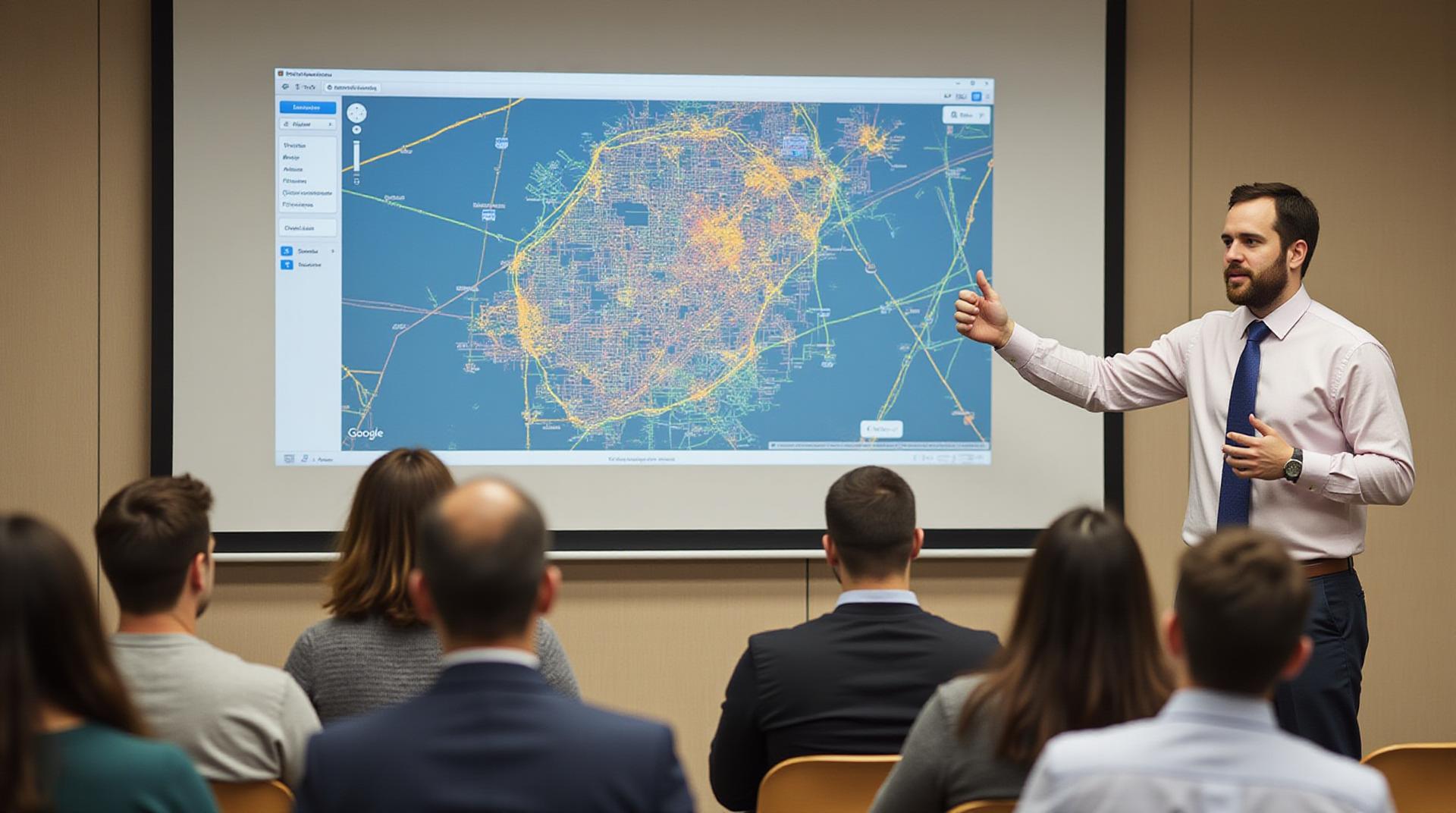
In the realm of geospatial research, analyzing data efficiently is critical for meaningful interpretations and insights. Often, data acquisition from remote sensing satellites, aerial photography, and field surveys yields valuable information, but it also contains a natural noise burden surrounding it. These noise features, such as cloud cover, shadows, or inconsistencies in data readings, can impair the quality and veracity of your analysis. Thankfully, AI for geospatial data filtering has emerged as a powerful tool for addressing this issue, enabling exceptional noise removal.
What is Geospatial Data Filtering?
Geospatial data filtering is the process of removing unwanted or spurious elements from a geospatial dataset. It typically involves identifying and isolating only the accurate and relevant data points within the limited information. This process is crucial in geospatial analysis for making sure your results are accurate and reliable.
Benefits of AI-powered Noise Removal
AI-powered geospatial data filtering offers several advantages over traditional manual methods:
- Automation of complex processes: Significant task redundancy is eliminated by implementing AI; this leads to faster, automated data cleanup processes.
- Accuracy & Precision: AI algorithms can objectively identify and eliminate distortions that typically go unnoticed by human analysts.
- Scalability: AI manages large and complex datasets efficiently, enabling larger, research-oriented projects with high data volumes.
- Dynamic Adaptability: AI models are designed to adapt to changes in data structures, ensuring your filters stay up-to-date.
Key Features of AI-Based Noise Removal Techniques
Several types of AI techniques are employed for effective noise removal:
- Supervised Learning: AI algorithms are given labelled data sets with clean images and contaminated images. Algorithms attempt to improve “knowledge” of noise details and learn to analyze their significant features.
- Unsupervised Learning: AI systems are used to discover patterns and inherent noise in data sets by exploring their unique structures, and then identifying irregularities.
- Semisupervised Learning: Combining aspects of supervised and unsupervised learning, this approach uses a small number of labeled ground-truth samples to optimize machine learning model performance and minimize false positives.
Practical Applications of AI-Powered Filtering
AI for noise removal has wide operational applicability in multiple geospatial domains.
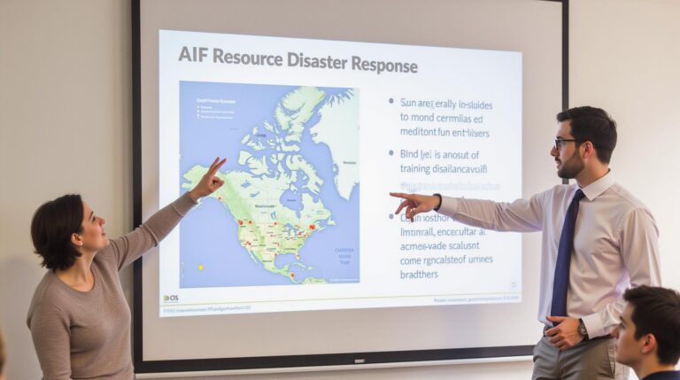
- Natural Disaster Management: Identifying debris or damaged regions after a natural disaster for efficient rescue effort management.
- Change Detection & Land Cover Monitoring: Analyzing spectral properties and pattern recognition to track deforestation, urbanization, or water pollution trends.
- Precision Agriculture & Crop Yield Prediction: Filtering noisy sensor data to pinpoint areas with potential crop stress or nutrient deficiencies for adaptive farming practices.
- Infrastructure Maintenance & Assessment : Identifying anomalies in pavement cracks or decaying structures for early preemptive maintenance interventions.
Resources for Exploring AI in Geospatial Data Filtering
Want to dive deeper into the technology?
- Geospatial Data Science & Artificial Intelligence Conference (GeoAI): The annual GeoAI conference provides an excellent platform for researchers and practitioners to explore advancements in AI for geospatial applications.
- GitHub Repositories: Search repositories like GitHub for open-sourced AI implementations beyond commercial solutions. These offer insights into the techniques used and their potential lobbying advantages.
- Platforms like Google Earth Engine: These platforms support geospatial analysis with a built-in co-processing system for integrating AI models with user-friendly interfaces.
Moving Forward with Geospatial AI
With the rapidly evolving field of geospatial AI, the use of specific technologies for robust and selective noise removal will be crucial in extracting essential information from complex datasets across multiple industries. As accessibility increases to AI tools and algorithms, using AI to clean data will become vital for refining geospatial analysis and enabling innovative advancements in address canes across all branches of research and implementation.
Check similar topics:
GeoAI Data Filtering FAQs
GeoAI Data Filtering – Your Questions Answered
GeoAI Data Filtering is gaining traction in many industries as businesses seek to leverage geospatial data more effectively. This FAQ section is designed to clarify common questions about this powerful data manipulation technique, helping you make informed decisions about adopting it for your projects .
Whenever possible, we encourage you to explore our comprehensive GeoAI Data Filtering Wiki and docs for detailed explanation and resources.
Availability
GeoAI Data Filtering is conveniently built in platform-agnostic and device-agnostic, ensuring seamless integration with various software & systems. We offer a readily usable library, where users can easily & efficiently leverage geospatial data filtering
Formats
GeoAI Data Filtering is designed to work with various geographic data formats, including:
- Shapefiles
- GeoJson
- SPT Tile
- GeoTIFF
- CSV/TXT
Usage Considerations
GeoAI Data Filtering offers a convenient online interface through our Web Access Application (WA) for easy analysis, whether working with small datasets or high volumes.
Important Considerations
GeoAI Data Filtering empowers us to extract specific information from vast geographical datasets. Here’s how it can propel your field:
- **Increase Accuracy:** By removing extraneous data, you can extrapolate analyses with higher precision and analytical insight .
- **Improved Efficiency:** Streamlining the process allows quicker and efficient analysis of large datasets.
- **Visual Storytelling:** Creating intricate spatial visualizations of your data for storytelling through maps and other methods.
Let me know if you have any other specific FAQs you’d like me to include!

