AI-Driven Geospatial Forecasting for Weather Patterns
AI-Driven Geospatial Forecasting: Unraveling Weather Patterns
As our world becomes increasingly reliant on high-resolution weather predictions, the role of artificial intelligence (AI) in geospatial forecasting is becoming more critical than ever. Combining powerful algorithms with vast amounts of geographical data, AI is ushering in an era of unprecedented accuracy and precision in weather forecasting, allowing us to better anticipate impending storms, floods, and other climate-related events.
The Power of Geospatial AI
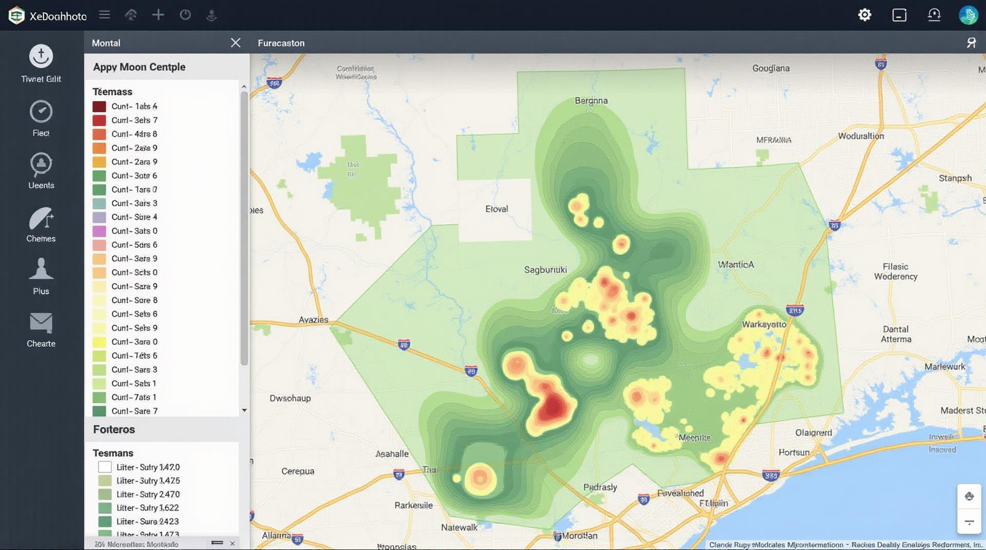
The heart of geospatial AI lies in its ability to analyze weather patterns using intricate geographic data. This data, compiled from point clouds, satellites, ground sensors, and other sources, is then processed by AI algorithms like:
- Machine Learning (ML): This technique allows algorithms to learn from historical weather data and predict future trends.
- Deep Learning (DL): Using neural networks, DL excels in recognizing complex patterns, finding deeper relationships within historical datasets, and making more accurate forecasts.
- Natural Language Processing (NLP): This technology tailors forecasting models to weather users’ abilities and context, like communicating alarm levels or providing localizations.
Benefits of AI-Driven Geospatial Forecasting
The revolutionary potential of AI in weather forecasting extends beyond mere accuracy. It brings a unique set of benefits:
- High Resolution Predictions: AI can model conditions at finer scales, bringing more detailed and granular forecasts.
- Better Early Warning Systems: By detecting subtle changes in climate patterns, AI can issue early alerts about severe weather events, giving stakeholders crucial time to prepare effectively.
- Improved Response Capabilities: AI-powered systems enable faster decision-making by providing real-time information about weather conditions, ideal for dramatic situations like wildfires, hurricanes, or floods.
- Climate Adaptation Planning: AI can be employed to extract patterns from historical weather data and historical climate information, helping us predict and adapt to future climate change trends.
Practical Applications of AI-Driven Geospatial Forecasting
The applicability of AI in weather forecasting extends across diverse fields, impacting how we each live and adapt our world:
- Transportation: AI helps optimize routing based on real-time traffic and weather forecasts, making travel smoother and safer.
- Agriculture: Precision agriculture allows farmers to leverage AI-driven weather models for optimal crop cultivation and irrigation, enhancing food security.
- Emergency Management: AI applications play a crucial role in disaster response, maximizing resource allocation, and providing critical information for the most recent and effective actions during extreme events.
- Energy Production: AI helps renewable energy providers predict wind and solar power generation more accurately, facilitating sustainable and responsible energy utilization.
For Further Exploration
Dive deeper into the world of geoAI and its advancements with these resources:
- NASA Earth Observatory: https://earthobservatory.nasa.gov/
- AI for Geointelligence: https://www.ai-geointelligence.com/
- GEODATA: https://www.geodata.uk/
The Future of AI-Driven Geospatial Forecasting
The future of weather forecasting is closely tied to the continuous development and deployment of advanced AI techniques. Research and innovation in AI are expected to redefine our understanding of weather and climate, leading to more accurate, timely, and nuanced weather predictions.
As AI capabilities evolve and our understanding of weather dynamics deepens, we can confidently say that the field of geoAI will continue to play a pivotal role in navigating the changing planet and safeguarding humanity.
Check similar topics:
FAQs About GeoAI Weather Forecasting
We understand you’ve got questions about our GeoAI weather forecasting technology. This FAQs section provides clarity on common inquiries about availability, data formats, and usage. If you can’t find the answer here, don’t hesitate to contact us at support@techgeo.org.
Availability
- GeoAI is currently available to registered users on our platform at www.techgeo.org.
- We offer various subscription plans catering to different needs. For detailed information and pricing, please visit www.techgeo.org/plans.
Data Formats
Our GeoAI weather forecasting data comes in several customizable formats, including:
- JSON: Ideal for applications requiring programmatic integration.
- CSV: Offers a structured file format for straightforward data interpretation.
- API: Provides a dedicated interface for convenient data access and manipulation.
Usage Examples
GeoAI facilitates diverse applications, provides insights into the potential for:
- Accurate temperature projections for any location.
- Predictive analysis for specific weather elements.
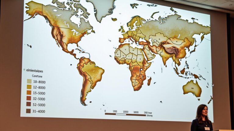
- Mapping weather patterns across different regions.
- Forecasting extended weather trends and testing climate change scenarios.
Why GeoAI Weather Forecasting is Crucial
GeoAI weather forecasting represents a new era in weather prediction, offering incredible benefits:
- Unlocks the Potential of Advanced Data and AI
- Enhanced Precision for Location-Based Forecasting
- Empowers Smart Decision-Making for Businesses
Harnessing GeoAI weather forecasting can give you the **competitive edge** needed in crucial fields such as agriculture, infrastructure management, energy production, and transportation planning.
Contact our team today to explore how GeoAI can revolutionize your business or research efforts — www.techgeo.org/contact.


