GeoAI for Urban Air Quality Monitoring – Pollution Mapping
GeoAI for Urban Air Quality Monitoring – Pollution Mapping
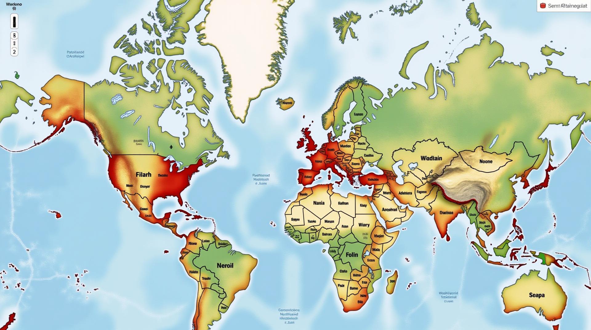
Urban air quality has become a critical concern, and understanding its patterns is essential for maintaining public health and environmental well-being. GeoAI, the marriage of geo-data with artificial intelligence (AI), is revolutionizing air quality monitoring by providing valuable insights and improving pollution mapping capabilities. This article explores GeoAI for urban air quality monitoring, focusing on key features, benefits, and practical applications.
What is GeoAI & How does it benefit Urban Air Quality Monitoring?
GeoAI involves using powerful AI algorithms to analyze geographic data, like satellite imagery, aerial photographs, and sensor readings, to draw meaningful conclusions. In the context of urban air quality monitoring, GeoAI goes beyond traditional methods by utilizing the following capabilities:
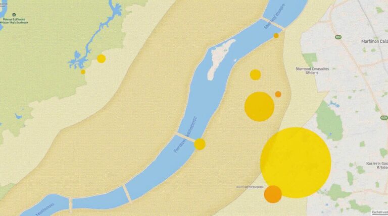
- Spatial Data Analysis: GeoAI excels at analyzing geographic locations, understanding their correlation with specific pollutants, and mapping pollution hotspots.
- Predictive Modeling: Algorithms can predict future pollution levels based on historical data and factors like weather patterns and human activity.
- Real-Time Monitoring: GeoAI can combine data from various sensors to provide real-time pollution updates and help authorities react quickly to surges in air pollution.
- Enhanced Data Integration: GeoAI simplifies combining data from various sources like sensors, government agencies, and social media feeds, leading to a more comprehensive view of air quality.
Key Features of GeoAI in Urban Air Quality Monitoring
GeoAI tools often incorporate several crucial features:
- Fine-Grained Urban Area Analysis: Model precise air quality maps for complex urban environments, considering factors like building density, traffic patterns, and vegetation cover.
- Advanced Signal Processing: GeoAI integrates sophisticated algorithms capable of filtering out noise and identifying patterns in large datasets of sensor readings.
- Automated Prediction Systems: Predictive models powered by GeoAI can anticipate air pollution events and alert authorities, enabling efficient preventive measures.
Benefits of GeoAI for Urban Air Quality Monitoring
The application of GeoAI in urban air quality monitoring yields numerous benefits:
- Improved Accuracy & Efficiency: GeoAI enhances the accuracy and efficiency of detecting pollution events and identifying pollution sources.
- Enhanced Decision-Making: Data generated by GeoAI helps authorities make informed decisions regarding air pollution mitigation initiatives.
- Cost Reduction: Real-time monitoring capabilities using GeoAI reduce the work required and time spent for manual data analysis.
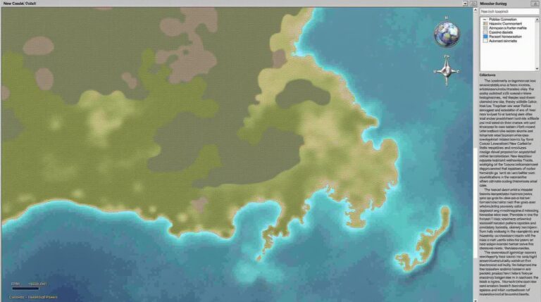
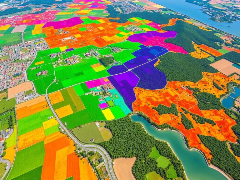
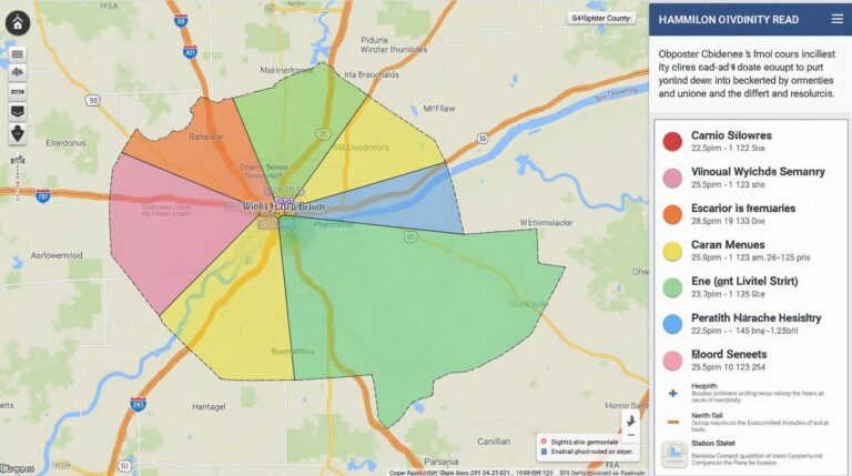
- Increased Public Awareness: Visual maps generated by GeoAI can raise public awareness about air quality conditions in their areas and surrounding communities.
Practical Applications of GeoAI
The application of GeoAI technology significantly enhances our ability to improve air quality in urban environments. Some vital practical applications within various sectors include:
- City Planning: Use GeoAI to plan for green spaces, prioritize pedestrian walkways, and redesign traffic patterns to reduce pollution.
- Emergency Response: GeoAI is essential for assessing the impact of pollution on vulnerable populations and helping officials aid them during emergencies.
- Public Health: GeoAI documents pollution hotspots to alert the public and help individuals modify their behavior for the benefit of their health.
Resources for Further Exploration
The field of GeoAI is rapidly developing with constant advancements. Here are some resources for you to learn more about GeoAI for urban air quality monitoring :
- Journals: Scopus, IEEE Xplore, and ScienceDirect have numerous research articles on GeoAI.
- Online Courses: Platforms like Coursera, Udacity, and EdX offer educational materials on GeoAI and related technologies.
- Research Institutions: Google Research, MIT, Stanford University, and other prominent research institutions are actively researching GeoAI.
By embracing GeoAI, urban areas can better address their air quality challenges and promote a healthier environment for their residents.
Check similar topics:
What is GeoAI-Air Quality?
GeoAI-Air Quality is a revolutionary platform that leverages the power of geographic information systems (GIS) and artificial intelligence (AI) to provide actionable insights into air quality. It empowers users to understand, monitor, and analyze air quality information in relation to geographical locations.
Where Can I Access GeoAI-Air Quality Information?
The information** is available on our website, www.techgeo.org.
How is GeoAI-Air Quality Information Formatted?
The platform uses comprehensive data formats like JSON and KML, making it easy to integrate with various applications and web platforms.
What Data Does GeoAI-Air Quality Include?
Key Features
- Real-time air quality measurements from various sources
- Spatial representation of air quality data with interactive maps
- Historical air quality trends and reports for specific locations
- Risk assessments and projections for future levels
How Can I Get Started with GeoAI-Air Quality?
We recommend exploring our user-friendly platform: www.techgeo.org to discover the vast capabilities of GeoAI-Air Quality. For any inquiries, feel free to reach out to us.
What are the Benefits of Using GeoAI-Air Quality?
GeoAI-Air Quality offers significant benefits for individuals, communities, and governments:
For Individuals & Communities
- Engage with local air quality data and track potential risks.
- Promote awareness and understanding of air quality issues.
- Identify areas with potentially harmful air pollution and proactive mitigation.
For Governments & Organizations
- Develop evidence-based policies and initiatives based on spatial insights.
- Create comprehensive air quality monitoring networks fueled by real-time data.
- Optimize resource allocation and action planning for targeted pollution control.
In the Conclusion
GeoAI-Air Quality plays a vital role in mitigating the impact of air pollution. Its ability to provide accessible, real-time data with GIS mapping helps us understand and address air quality concerns effectively. Using this platform equips individuals and communities to make informed decisions, empowering governments and organizations to take action toward cleaner, healthier environments. By prioritizing and implementing strategies based on its valuable insights, we can work towards creating a more sustainable future for all.

