GeoAI for Wildlife Migration Tracking – Animal Movement
GeoAI for Wildlife Migration Tracking – Animal Movement
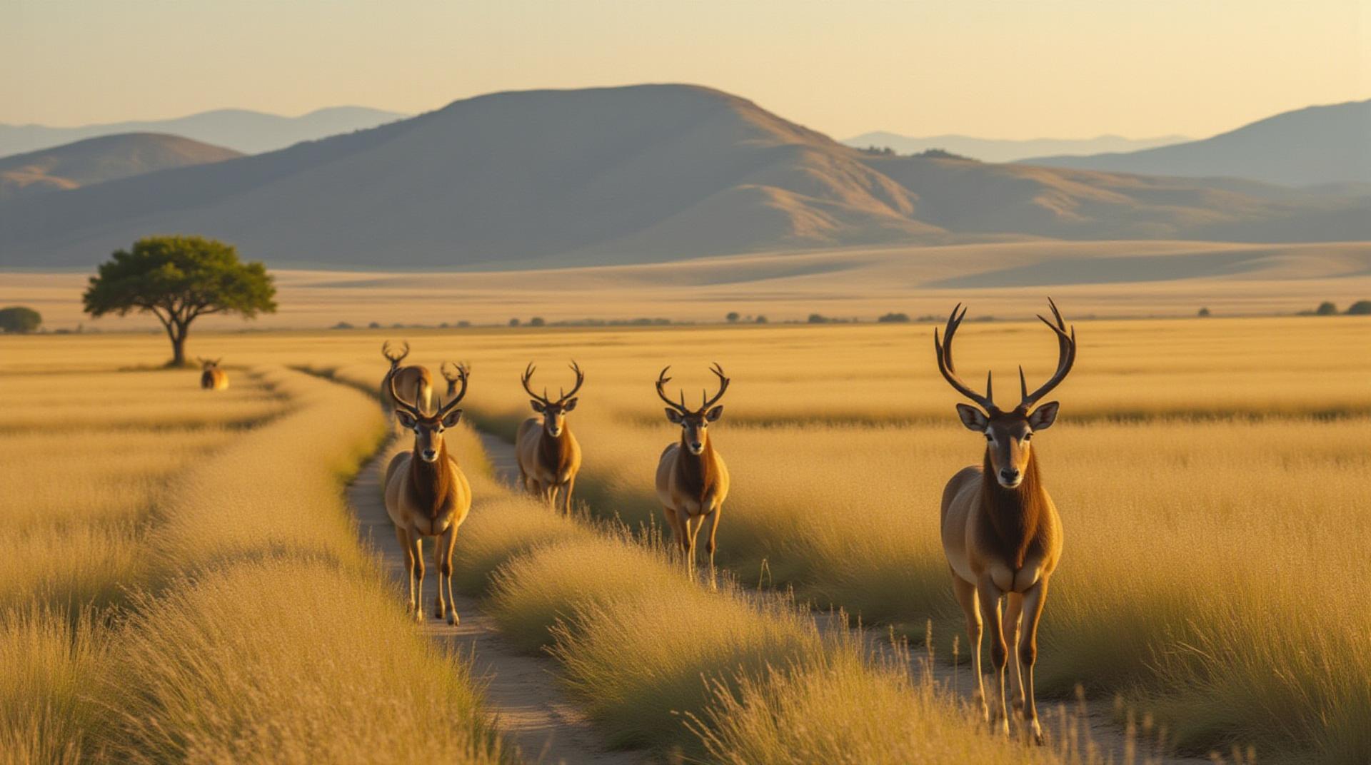
Wildlife migration is an awe-inspiring natural phenomenon – a biological masterpiece with profound ecological implications. Traditional tracking methods prove time-consuming, imprecise, and often fall short for understanding the journey’s complexities. Enter GeoAI, a revolutionary tool now at the forefront of wildlife movement research, promising a new era of informed conservation efforts.
What is GeoAI for Wildlife Tracking?
GeoAI, or geospatial artificial intelligence, merges the power of data analysis with location-based information, enabling the precise tracking of animal movements through a diverse set of data sources. It helps us understand these complex movements by identifying patterns and predicting future travel routes.
Key Features of GeoAI in Wildlife Migration Tracking:
- Real-time Tracking: GeoAI enables scientists to monitor animal movements as they occur. It’s no longer a question of “what happened” but rather “where are they now, and where are they headed?”
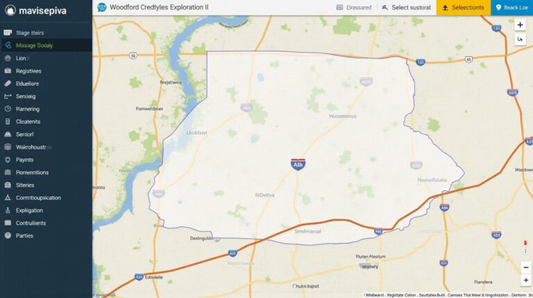
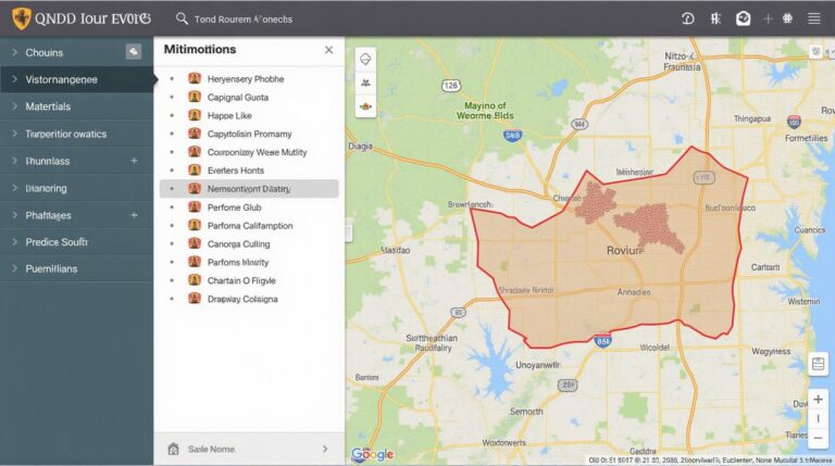
- Spatial Analysis and Visualization: GeoAI generates interactive maps of animal movement, revealing intricate patterns within landscapes, including migration seasons and potential bottlenecks.
- Predictive Modeling: GeoAI can forecast habitat suitability for migrating animals, helping conservationists prepare and adapt management strategies.
- Pattern Recognition: Through sophisticated algorithms, GeoAI can identify seasonal trends in animal movement, highlighting critical stages like breeding, feeding, and essential resting patterns.
- Data Insight and Integration: GeoAI connects various natural resource data sources, like vegetation and habitat distribution, weather variables, and climatic changes, enabling a broader view of organization, influence, and impact on animal migration patterns.
Benefits of GeoAI in Wildlife Migration Studies:
GeoAI’s capabilities offer numerous benefits for wildlife conservation, expanding beyond simply tracking migratory processes:
- Improved Conservation Strategy Develpoment: GeoAI provides data-driven insights into migration patterns, habitat use, and conservation needs, enabling dedicated research and informed conservation action plans.
- Enhanced Management Repercussions: Through predictive modeling, geoAI facilitates proactive resource allocation and corrective measures, minimizing negative impacts on migratory routes.
- Improved Disease Surveillance: By mapping disease spread patterns among wildlife travelling across regions, GeoAI helps monitor the potential health risks to entire ecosystems.
- Strengthened Citizen Science Engagement: GeoAI technologies can seamlessly integrate citizen science data and enhance the collective knowledge and insights regarding wildlife migration patterns, leading to a more comprehensive understanding of overall ecosystem health.
Practical Applications of GeoAI in Wildlife Conservation:
The potential of GeoAI for wildlife migration research extends across diverse applications:
- Protecting endangered species: Locating critical stopover sites and identifying migration routes on a more precise scale.
- Managing human impact: Identifying areas with increased risk of habitat fragmentation, conflict, and natural disaster threats.
- Balancing wildlife rights and human needs: Developing strategies for sustainable land use and benefiting wildlife while optimizing resource management.
- Assessing climate change impact: Identifying consequence on migration patterns, habitat accessibility, and possible risks to endangered species.
Resources for Learning More:
Interested in exploring the cutting edge of GeoAI and its application to conservation? Check out these valuable resources:
- **OpenAI’s GeoAI project:** https://augmentiveai.openai.com/
- **Geospatial systems for wildlife habitat modeling:** https://www.researchgate.net/publication/336407636_Geospatial_Systems_for_Wildlife_Habitat_Modeling
- **The IUCN Species Survival Commission, GeoAI Best Practices Guidelines:** https://www.iucn.org/resources/best-practices-toolkit-conservation-trasonline-and-geo-analytics
Final Thoughts:
GeoAI research and tools represent a significant advancement in animal migration tracking. By harnessing the power of GeoAI and a continuous commitment to data-driven research, we have the capacity to unravel the mysteries surrounding animal movements. This immersive insight will finally reveal a comprehensive understanding of animal behavior and pave the way for effective solutions to safeguard vulnerable animal populations and their ecosystems.
Check similar topics:
Okay, here’s an FAQ section for geoAI-wildlife migration built using HTML and relevant links. Keep in mind you’ll want to adjust the content and formatting to fit your website’s specific needs and style.
“`html
Frequently Asked Questions about GeoAI-Wildlife Migration
Here are answers to commonly asked questions about GeoAI-wildlife migration.
What is GeoAI-Wildlife Migration?
Imagine an AI model, able to understand bird migration patterns, analyze individual animal movement data, and even predict future movements. That’s the power of GeoAI-Wildlife Migration. This technology harnesses the potential of Geographic Information Systems (GIS) with Artificial Intelligence (AI) to determine how wildlife traverses landscapes more precisely.
How Does it Work?
- Data Collection: Gather real or simulated animal movement and live data, like GPS locations, marking participating species or individuals.
- Data Integration: Georeferencing bird migration trajectories with satellite imagery to understand seasonal ecological phenomena.
- Predictive Modeling: Develop the AI systems that analyze immense data, and then train, test, and use the most appropriate models to predict future migrations.
What Can We Use it For?
GeoAI-Wildlife Migration has a broad array of applications:
- Conservation Efforts: Identify key migration routes and habitat, which helps guide conservation projects, set species protection zones, and mitigate threats.
- Population Management: Address threats to individual species, distributions, and resource management, which helps support the healthy and sustainable population.
- Scientific Research: Track wildlife movement patterns on an unprecedented scale to delving deep into their natural landscapes and behaviors.
What Resources Are Available?
For more information about GeoAI-Wildlife Migration, visit our website and explore our resources, including:
How Can I Get Started?
Contact us at info@techgeo.org
## Importance of GeoAI in Wildlife Migration
The efficiency of each action carries tremendous importance to the conservation of many species and ecosystems. GeoAI-Wildlife Migration allows for a more comprehensive understanding of wildlife movements to effectively guide conservation efforts, and can help:
• **Preserve biodiversity and unique ecosystems**
• **Prevent habitat encroachment and fragmentation**
• **Provide data-driven insights for early intervention to ensure the well-being of our planet’s organisms.
**Actionable Insights:**
* Explore using GeoAI-Wildlife Migration to gain insights into your own networks of networks within your local ecospheres.
* Consider how you can contribute data and resources to the advancement of these technologies and organizations.
* Educate yourself and others about this relatively new but incredibly powerful tool.
* Promote sustainability strategies within your organization and interactions with communities.
This section is a starting point! You can expand on specific formats, availability, and usage based on resources and capabilities of your particular project or organization.
Remember that this is a template. You should adapt the specific questions and answers to fit your project, website content, and unique items to present to artists, researchers, and policymakers.

