AI in Geospatial Data Classification – Land Cover Mapping
AI in Geospatial Data Classification: Unlocking Insights through Land Cover Mapping
The Power of AI in Land Cover Mapping
Traditional land cover mapping relies heavily on visual inspection, laborious data collection, and manual interpretation. However, with the advent of artificial intelligence (AI), a new era of accurate and efficient land cover classification is unfolding. This blog post explores how AI revolutionizes the field of Geospatial Data Classification, particularly focusing on its role in land cover mapping.
What is Land Cover Mapping?
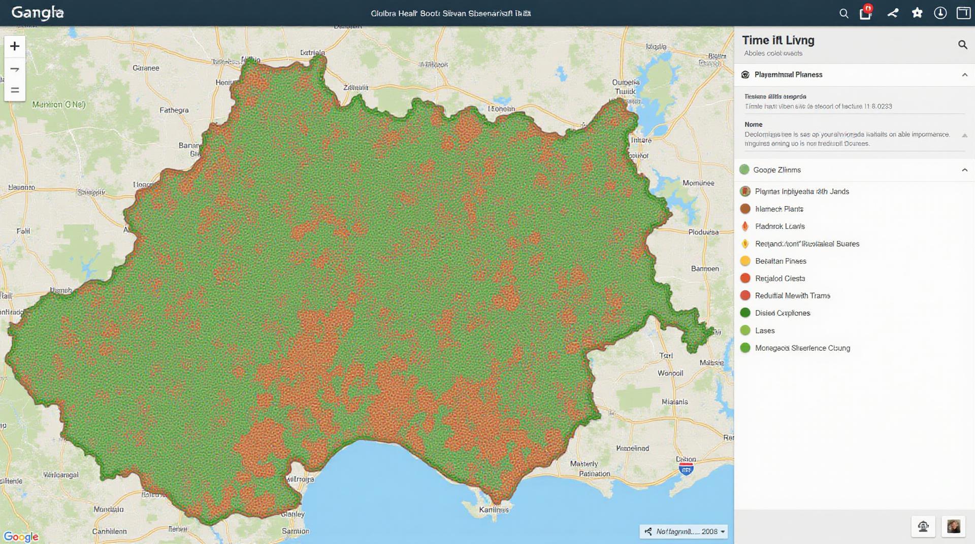
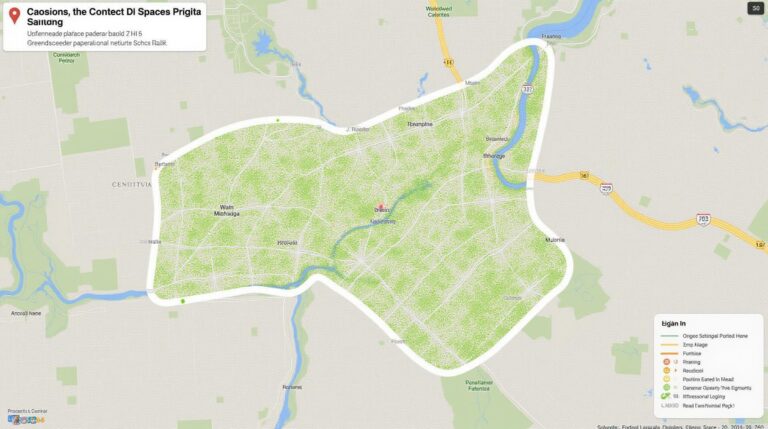
Land cover mapping is a crucial aspect of geospatial data analysis, representing the physical characteristics of a landscape. These characteristics include vegetation, ground, water bodies, and urban areas. By mapping these features, we gain a deeper understanding of our planet, critical for various applications.
AI in Action: Accelerating Land Cover Mapping
AI, with its ability to analyze vast datasets and identify complex patterns, is transforming the landscape of land cover mapping. Here’s how:
Key Features of AI-drivenLand Cover Mapping
- Deep Learning Algorithms: Machine learning algorithms, often deep learning models, are at the core of AI-driven land cover mapping. These models are trained on massive datasets, enabling them to learn complex features and discern subtle differences between land cover types.
- Remote Sensing Data: AI thrives on imagery data, including satellite images and aerial photographs. The analysis of these images is a perfect fit for AI to deliver precise classification results.
- Automated Processing: AI dramatically accelerates the mapping process, as these systems can process vast amounts of data and produce detailed classification maps with high efficiency.
- Improved Accuracy: Thanks to their inherent ability to learn and detect patterns, AI algorithms significantly enhance the accuracy of land cover maps compared with traditional methods.
Benefits of AI-assisted Land Cover Mapping
- Enhanced Precision:** AI delivers more precise land cover classifications, leading to actionable insights that optimize decision-making in various fields.
- Increased Efficiency: AI accelerates the analysis process, saving valuable time and resources, and freeing up human analysts for more complex tasks.
- Reduced Costs: Efficient analysis leads to significant cost reductions, making land cover mapping practices more economical.
- Mitigation of Bias:** AI models are less prone to human bias, ensuring more impartial and reliable land cover classifications compared to manual methods.
Practical Applications of AI-driven Land Cover Mapping
The applications are vast and continually evolving, highlighting AI’s immense potential in various sectors:
- Environmental Monitoring: Quantifying deforestation, vegetation health, and identifying land degradation helps conserve ecosystems and mitigate environmental hazards.
- Agricultural Management: Monitoring crop growth, identifying suitable planting conditions, and optimizing land allocation for sustainable farming practices.
- Urban Planning: Analyzing urban sprawl, identifying flooding risks, and optimizing transportation infrastructure.
- Natural Disaster Mitigation: Predicting wildfire outbreaks, assessing flood risk, and identifying areas susceptible to climate change.
Resources for Further Exploration
Many excellent resources are available to delve deeper into AI’s influence on Geospatial Data Classification:
- Google Earth Engine: A powerful platform for analyzing satellite imagery and using AI for land cover mapping.
- Open Source Machine Learning Libraries: Libraries like TensorFlow and PyTorch are essential for developing and deploying AI for geospatial tasks.
- Earth Observation Datasets: See the European Space Agency’s Copernicus program: https://www.copernicus.eu/.
- Research Papers & Publications: Researchers continually publish novel and impactful studies.
Conclusion
AI is revolutionizing the way we analyze and understand our planet’s landscapes. By leveraging AI capabilities, ground-breaking insights become readily available, improving our understanding of land cover dynamics and driving impactful solutions across various sectors. As AI technology continues to evolve, the potential for advancing Geospatial Data Classification is boundless.
Check similar topics:
## GeoAI-Land Cover Classification: FAQs
This section provides answers to common questions you might have about our GeoAI-Land Cover Classification technology.
Availability
* **Where can I access it?** You can access GeoAI-Land Cover Classification through our [API Documentation](https://www.techgeo.org/api.html) and [Code Source](https://github.com/techgeo/geoai-landcover-classification). [Website Demo](https://www.techgeo.org/demo)
* **Is it for public use?** Yes! Our GeoAI-Land Cover Classification platform is designed for public use and open to everyone. Simply register on our website [sign up](https://www.techgeo.org/register).
* **What services are included?** We provide tools and documentation to help you use our model. Our platform currently supports basic request functionality. Multi-species, multi-resolution data processing and analysis along with advanced use cases are under development.
Formats
* **What data formats does it accept?** Our platform accepts various image data formats, including [JPEG](https://en.wikipedia.org/wiki/JPEG), [PNG](https://en.wikipedia.org/wiki/PNG), and [GeoTIFF](https://en.wikipedia.org/wiki/GeoTIFF).
* **Can I get the outputs in other formats?** Of course! We are constantly updating our platform to provide support for various format outputs, including enhanced formats such as [JSON](https://en.wikipedia.org/wiki/JSON) and [CSV](https://en.wikipedia.org/wiki/Comma-Separated_Values).
Usage
* **How do I get started?** Simply using the [API Documentation](https://www.techgeo.org/api.html) or integrating it into existing projects using our [Code Source](https://github.com/techgeo/geoai-landcover-classification) is easy!
* **Is technical expertise necessary?** Our platform utilizes intuitive tools, but some programming knowledge is beneficial for customization and advanced use cases. Refer to our [User Guide](https://www.techgeo.org/usersguide.html) for detailed instructions.
* **Documentation and Support.** Access comprehensive IA documentation and resources on our website, including [Tutorials and Examples](https://www.techgeo.org/tutorials-examples.) and [Frequently Asked Questions](https://www.techgeo.org/faq).
Conclusion: Importance and Actionable Insights
GeoAI-land cover classification is a powerful tool for understanding and managing our planet’s environment. It provides valuable insights for:
* **Sustainable Resource Management:** Identify areas for optimal land use planning, minimize environmental impact from resource extraction, and promote sustainable agriculture.
* **Disaster Response and Recovery:** Analyze high-resolution maps to track changes in land cover, predict at-risk communities, and support disaster response efforts.
* **Environmental Monitoring:** Monitor ecological trends, track deforestation, assess water pollution, and monitor endangered species habitats.
GeoAI-land cover classification offers actionable insights for making evidence-based decisions in critical fields like environment management, land use planning, and disaster recovery. By leveraging this technology, we can pave the way for a more sustainable and resilient future.
—
**Remember** to contact our team at [info@techgeo.org](mailto:info@techgeo.org) if you have any specific questions or require further assistance.

