Geospatial News Weekly: Satellite, GIS & GeoAI | Oct 12–18
Week covered: 12–18 October 2026. This edition of TechGeo’s weekly geospatial news tracks seven independently sourced developments across satellite Earth observation, enterprise GIS, open-source software, location-aware AI, agricultural remote sensing and the geospatial industry. Each item below links to its originating announcement or scientific publication, with the publication date shown explicitly. We distinguish released capabilities from planned benefits and laboratory results from operational performance.
The most important thread is not a single spectacular technology. It is the growing connection between trusted spatial data and tools that can act on it: satellite missions generating long-term observations, GIS platforms packaging usable datasets, and AI systems calling real geospatial computation rather than guessing at geography. This briefing was researched and checked on 19 October 2026.
- Sentinel-3C delivers its first Earth views
- HERE brings deterministic location reasoning to AI agents
- ArcGIS Enterprise gains new Living Atlas content package
- QGIS conference highlights open-source GIS capacity
- Bowman acquires dymaptic to expand enterprise GeoAI
- New UAV research maps individual rice seedlings
- BlackSky expands satellite-based non-Earth imaging
13 October 2026 · Earth observation
Sentinel-3C delivers its first Earth views
The Copernicus programme reported on 13 October that Sentinel-3C had returned its first images and instrument measurements following its September launch. Its Ocean and Land Colour Instrument (OLCI) captured views that included Italy, the Arctic and the Caribbean. The Synthetic Aperture Radar Altimeter (SRAL) also supplied early observations of the Greenland ice sheet and the sea surface. These are first-light results, not an announcement that every operational data product has completed calibration or entered routine distribution.
Sentinel-3 matters because environmental monitoring depends on consistency across years, not just attractive individual scenes. Ocean-colour observations support water-quality and marine-ecosystem analysis, while altimetry provides measurements relevant to sea level and ice-sheet studies. A third spacecraft in the series can help preserve continuity as existing satellites age, subject to commissioning, product validation and the final acquisition plan.
For remote-sensing analysts, the practical next step is to follow the Copernicus product documentation and commissioning notices before adding Sentinel-3C into automated production pipelines. Check product processing level, quality flags, revisit assumptions and cross-sensor consistency. A visually convincing first image is an engineering milestone; scientifically comparable time-series data require additional checks.
Original source: Read the primary announcement or research paper.
14 October 2026 · GeoAI and location services
HERE brings deterministic location reasoning to AI agents
HERE Technologies announced broader access to HERE Location Reasoning (HLR) on 14 October. The service is offered through AWS Marketplace and other development environments, with a Model Context Protocol (MCP) server designed to connect AI agents to HERE's mapping, geocoding, traffic and routing capabilities. The announcement describes availability through a pay-as-you-go marketplace offering and integrations into selected developer tools. It does not establish that every advertised use case has been deployed at scale.
This is a useful distinction for the GeoAI conversation. A language model can interpret a request such as 'find a suitable delivery route,' but it should not invent road geometry, turn restrictions or live travel conditions. A deterministic geospatial service can execute the spatial part against a defined dataset and return a traceable answer. The model still needs guardrails for permissions, data freshness, uncertainty and the possibility that a user's instruction is underspecified.
GIS teams evaluating agent-based workflows should test edge cases: inaccessible roads, inconsistent place names, cross-border routing, missing addresses and time-sensitive traffic. They should also review geographic coverage, service terms, rate limits and the provenance of returned coordinates. The interesting news is a distribution mechanism for spatial computation inside AI workflows—not proof that autonomous GIS no longer needs professional review.
Original source: Read the primary announcement or research paper.
15 October 2026 · Enterprise GIS
ArcGIS Enterprise gains new Living Atlas content package
Esri released ArcGIS Living Atlas content package 2026.2 for ArcGIS Enterprise on 15 October. According to its product announcement, organizations running ArcGIS Enterprise 11.3 or later can deploy the package through their Living Atlas organization settings. The update adds ready-to-use items, with annual U.S. land-cover content among the highlights. This is a content-package update, not a blanket announcement of a new ArcGIS Pro version or a replacement for an organization's own authoritative data.
For enterprise GIS administrators, curated content can reduce the time required to locate reference layers, create dashboards and prototype analyses. But every prebuilt layer still has a geographic extent, publication date, classification scheme and usage constraints. Land-cover categories, for example, should not be silently treated as equivalent across different national datasets or years. When an analysis informs land management or infrastructure planning, metadata review is as important as a convenient map-service URL.
Before deployment, administrators should inventory applications that depend on existing Living Atlas items, verify version compatibility, and test the update in a staging environment where practical. Document which layers changed and whether symbology, field names or service availability could affect web maps. The operational value of this release is faster access to maintained reference content, provided that downstream users know what they are using.
Original source: Read the primary announcement or research paper.
13 October 2026 · Open-source GIS
QGIS conference highlights open-source GIS capacity
A QGIS.org report published on 13 October summarized its 2026 User Conference and Contributor Meeting in Laax, Switzerland, held earlier in the month. The organizers reported more than 420 participants from over 30 countries, roughly 90 talks, six keynotes and hands-on workshops covering topics such as point clouds, plugin development, workflow automation and field-data infrastructure. The published recap is the new item this week; the conference itself took place on 4–9 October.
The technical significance extends beyond the attendance figure. Organizations adopting open-source GIS depend on documentation, maintainers, packaging, security reviews and sustainable funding, not only new features. Conference sessions on AI, QField-based field collection and practical automation illustrate the broadening QGIS ecosystem, while discussions of digital sovereignty reflect procurement concerns in public-sector deployments. None of these presentations should be mistaken for a newly released software feature unless a corresponding release note exists.
For practitioners, the takeaway is to treat the QGIS community as part of the software's operational infrastructure. Review plugin compatibility before major upgrades, contribute reproducible bug reports and consider how mobile capture, desktop processing and server publication fit together. TechGeo's earlier guide to QGIS 3.44 offers historical context, but readers should consult current QGIS release guidance when selecting a production version.
Original source: Read the primary announcement or research paper.
16 October 2026 · Geospatial industry
Bowman acquires dymaptic to expand enterprise GeoAI
Bowman Consulting Group announced the acquisition of dymaptic on 16 October. Dymaptic develops custom geospatial applications and AI-enabled tools, including enterprise GIS integrations, automated imagery feature extraction, natural-language GIS interfaces and spatial data pipelines. Bowman positions the transaction as a way to combine engineering and surveying datasets with more automated analysis and application development. The announcement describes strategic intent and combined capabilities; it does not provide independent evidence of productivity gains after integration.
This transaction illustrates a wider industry pattern: data collection and data exploitation are moving closer together. A survey, drone flight or infrastructure inspection creates information whose value depends on how reliably it is cleaned, connected, interpreted and delivered. Software teams working alongside geomatics engineers may shorten the distance between field measurements and operational decisions, especially in utilities, transportation and asset management.
Professionals should watch whether this translates into reproducible workflows with quality controls rather than one-off demonstrations. Skills spanning spatial databases, Python automation, web GIS, photogrammetry and enterprise integration remain relevant. The business announcement is also a reminder that GeoAI in infrastructure is often less about a single model and more about connecting heterogeneous data and existing business systems.
Original source: Read the primary announcement or research paper.
13 October 2026 · GeoAI research
New UAV research maps individual rice seedlings
A peer-reviewed paper published on 13 October in Frontiers in Plant Science introduced PPNet, a deep-learning framework for locating and counting individual rice seedlings in UAV orthomosaics. The authors assembled 3,013 image tiles with 220,553 annotated seedling points from three rice-growing regions in China. Their method combines point-level supervision with modules designed to separate closely spaced plants and incorporate row structure. The reported evaluation included an F1 score of 0.9029, average precision of 0.8881 and counting R² of 0.9553.
The practical problem is easy to recognize: small plants overlap, shadows complicate interpretation and water reflections can make segmentation unreliable. A system that predicts plant locations rather than only vegetation pixels can support gap detection, establishment assessment and field-level density maps. The study used high-resolution drone imagery and careful annotation; its metrics should not be interpreted as a universal accuracy guarantee for other crops, seasons, cameras or farming systems.
Researchers considering similar workflows should examine flight height, ground sampling distance, annotation rules and the separation of training and evaluation sites. The paper reports roughly 0.5 cm per pixel and RTK-assisted image acquisition in its study design. Independent replication and cross-region testing remain important before a model is adopted for operational crop-management decisions.
Original source: Read the primary announcement or research paper.
15 October 2026 · Satellite imaging industry
BlackSky expands satellite-based non-Earth imaging
BlackSky announced a seven-figure annual extension of its agreement with HEO on 15 October, adding access to its Gen-3 satellite imagery for non-Earth imaging. Instead of observing terrain, this application tasks Earth-observation spacecraft to capture other objects in orbit, with HEO software supporting target identification, image analysis and tracking. BlackSky says the arrangement builds on an existing partnership and uses available constellation capacity; the contract announcement is not an independent performance evaluation.
The story belongs in a geospatial roundup because it shows how observation infrastructure and image-analysis workflows can be repurposed. Precise orbital geometry, sensor pointing, image processing and object detection remain central even when the target is a spacecraft rather than a landscape. For satellite operators, imagery may complement other sources of information used to characterize objects and detect anomalies.
The limitations matter. Commercial descriptions of image clarity, speed and coverage should be evaluated against actual tasking constraints, observation geometry and access policies. This is a specialized market rather than a direct replacement for land-cover mapping, but it underscores the expanding uses of high-resolution optical sensors and automated image interpretation.
Original source: Read the primary announcement or research paper.
What these geospatial trends mean for practitioners
Verified data is becoming the differentiator. HERE’s agent interface and Esri’s packaged layers address different audiences, but both depend on controlled sources of geographic truth. When AI is allowed to choose a route or summarize a landscape, provenance, time stamps and geographic coverage are not optional metadata. They determine whether an output can be checked.
Observation continuity still matters more than novelty. Sentinel-3C’s first-light results are exciting, yet long-term environmental analyses depend on calibration, harmonization and repeatable processing. New satellites can improve resilience of the observing system, but combining sensors without examining quality flags risks manufacturing artificial trends.
GeoAI is getting more specialized. PPNet targets individual seedlings rather than a broad land-cover class; dymaptic’s expertise concerns applied enterprise workflows rather than a general-purpose chatbot. Both examples reward domain-specific validation. In surveying and GIS, the most valuable automation is often the one that preserves positional accuracy, audit trails and human review.
Open-source capacity is a strategic issue. The QGIS community report highlights the people and institutions behind software that many organizations depend on. Choosing a GIS stack should include maintenance, interoperability, training and long-term support, not only the feature list.
Three practical actions for GIS teams this week
- Audit one AI-assisted spatial workflow for authoritative data sources, coordinate systems, freshness and failure cases.
- Check whether any enterprise map or dashboard relies on reference layers that need an update, and test changes before production deployment.
- For new drone or satellite models, record acquisition settings, validation geography and known limitations alongside reported accuracy metrics.
Explore more on TechGeo
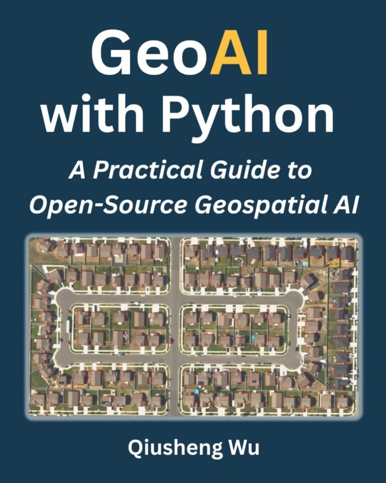
For practical background, revisit our QGIS 3.44 guide, the GeoAI with Python review, and the professional GIS interview resource. Browse the TechGeo Geo-News archive for other updates. These internal articles are background resources; the dated source links in each story above support this week’s specific claims.
Bottom line
The week of 12–18 October brought concrete product and service announcements, a QGIS community report, an Earth-observation milestone and new peer-reviewed UAV research. Taken together, they show a geospatial sector investing in better access to location intelligence and more specialized analysis. The next step for GIS professionals is to separate capability from evidence: test tools with their own data, read primary documentation and treat every reported result in its proper operational context.
TechGeo will continue following significant, verifiable developments in GIS, remote sensing, GeoAI and geomatics in the next weekly briefing.