Ottawa County GIS: Mapping the Community
Ottawa County GIS: Mapping the Community
Ottawa County GIS: Mapping the Community
Ottawa County, Michigan, is embracing the power of geographic information systems (GIS) to improve data accessibility, enhance decision-making, and foster community engagement. With an array of online tools and resources, Ottawa County residents, businesses, and researchers alike can delve into the wealth of valuable GIS data within the county’s boundaries.
A Sneak Peek into Ottawa County GIS
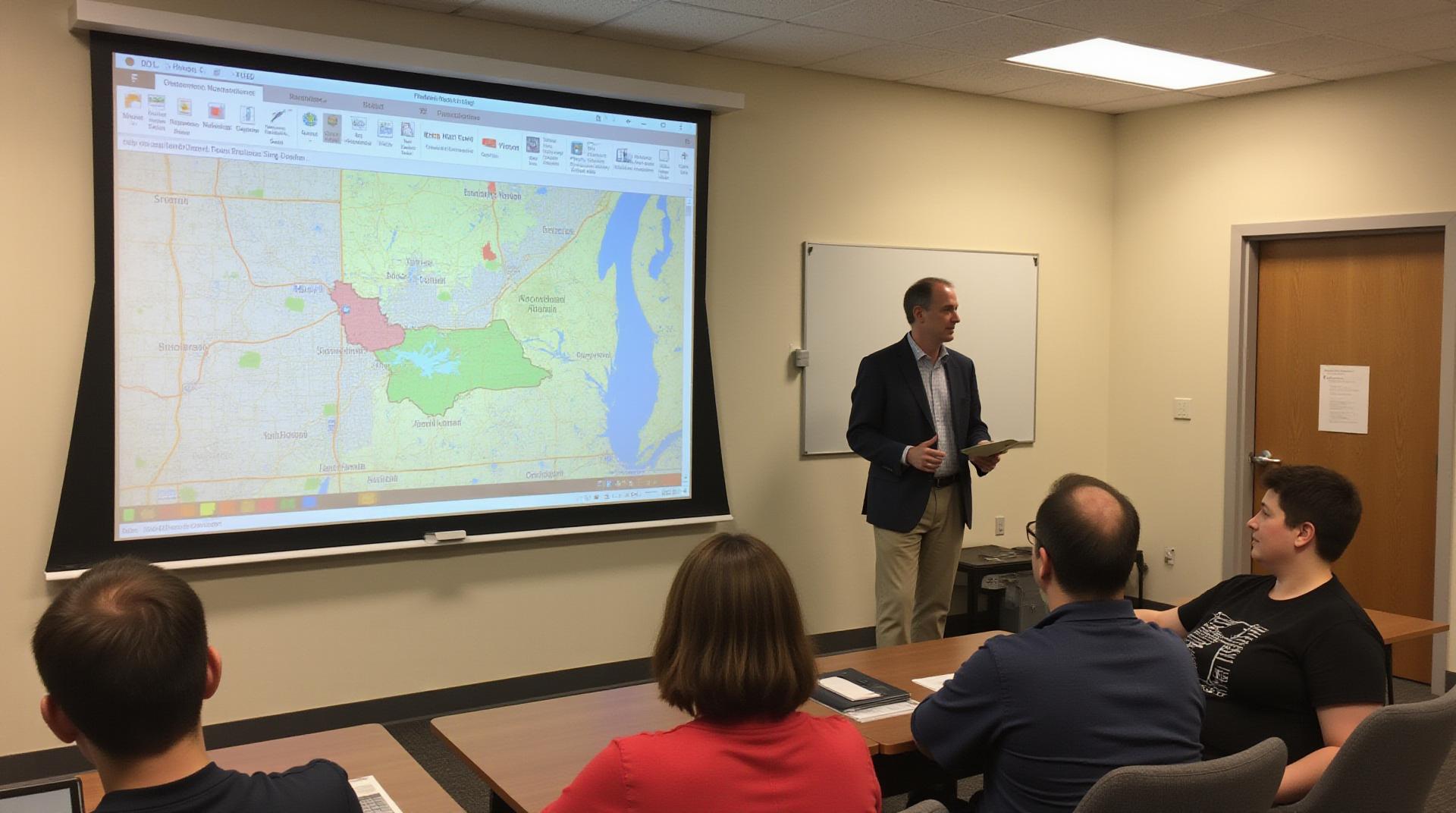
Ottawa County GIS allows users to explore a variety of datasets that cover everything from roads and infrastructure to land cover, environmental features, and more. The county leverages its GIS platform to gain invaluable insights into various aspects of the community, fostering better planning and a more informed public.
Accessing Ottawa County GIS Resources
- County Website:
Explore the official Ottawa County website, typically found at www.ottawacountymi.gov/, for valuable GIS-related information. They generally offer a searchable database of online maps and datasets that are constantly updated.
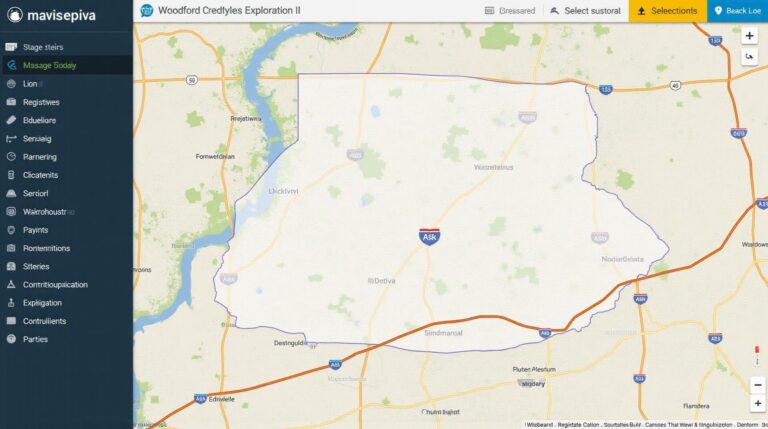
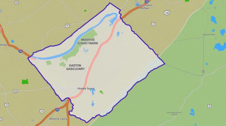
- GIS Mapping Portal – https://gis.ottawacountymi.gov/
Key Datasets and Applications
Ottawa County GIS offers access to a multitude of data layers, making it a valuable asset for various users. Here are some key areas where GIS data shines in Ottawa County:
1. Planning & Development
GIS plays a crucial role in planning and development projects by providing spatial data for:
- Zone change requests
- Building permit applications
- Floodplain management
- Transportation infrastructure
2. Environment & Sustainability
Ottawa County uses GIS to monitor, manage, and understand environmental conditions:
- Land cover mapping and analysis, including vegetation health
- Environmental impact assessments
- Water resources management
- Air quality monitoring
3. Infrastructure Management
Ensuring the safety and efficiency of public infrastructure requires comprehensive data:
- Road network mapping and data
- Power infrastructure mapping
- Urban facilities mapping
Understanding the Benefits of GIS Data for the Community
Having access to this wealth of spatial data has had a number of positive consequences for Ottawa County;
- **Improved Planning and Decision-Making:** GIS data provide a basis for informed decisions about everything from land use to transportation improvements.
- **Enhanced Public Services:** Better understanding of community needs and environmental conditions translates to targeted, beneficial services and data delivery.
How to Get Started
Ottawa County consistently simplifies its GIS platform for easier navigation. To access the wealth of information available within the county’s boundaries, explore online resources and delve into the wealth of geospatial data within Ottawa County GIS.
FAQs
- What types of GIS data does Ottawa-County-GIS provide?
Ottawa-County-GIS offers a diverse range of geospatial data, including:
– Aerial Imagery Aerial Imagery
– LiDAR Data LiDAR Data
– Parcel Maps Parcel Maps
– Topographic Maps Topographic Maps
– Building Footprint Data Building Footprint Data
– SWIM (Simple Water Management Information System) SWIM (Simple Water Management Information System) - How do I access the GIS data?
You can access our data through our online GIS website.
GIS Data Portal
We provide a seamless, intuitive interface for downloading, visualizing, and exploring our data. - What data formats does Ottawa-County-GIS offer?
We provide different data formats compatible with various applications and analytical tools.- Shapefile: Shapefiles
- GeoJSON: GeoJSON
- Excel: Excel Data
- What is the best way to use GIS data?
The specific use depends on your needs. However, here are some general applications:- Emergency Management:
GIS data can assist in planning and coordinating emergency response efforts in the County. - Environmental Management:
GIS-based maps provide valuable insights for managing natural resources like water bodies, ecosystems, and land use to address environmental concerns. - Infrastructure Planning:
GIS mapping helps in visualizing traffic, identifying existing infrastructure, and planning for future developments related to roads, utilities, and transportation.
- Emergency Management:
Why is GIS Essential for Ottawa-County?
GIS data is a powerful tool for understanding and managing our County, enabling better decision making around everything from infrastructure to environmental protection. Ottawa-County continues to benefit from GIS’s impact on:
– **Improved Public Services:** By providing insightful geographic representations, GIS accelerates our response times to public safety issues and provides us a prominent look at our County’s physical assets.
– **Smarter Growth:** GIS enables us to better understand land use patterns, develop effective strategies for land development, and promote smart and sustainable growth for Ottawa County,
– **Building Strong Community Partnerships:** GIS provides a platform for collaboration. We can improve communication across departments and between local communities, and our partners.
GIS data is ever-evolving. Ottawa-County remains committed to utilizing GIS data for a brighter future.
Let me know if you’d like me to add any specific data links, cover other aspects, or have any more customizations!
Check similar topics: