Real World Map : Cartographic Projections
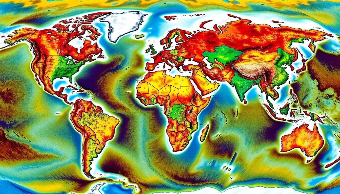
The map of the world is not as simple as it looks. How we see continents and countries is shaped by map projections. These projections help us flatten our round Earth onto a flat surface. Let’s explore the world of map projections and uncover the truth about our world map.
Key Takeaways
- Cartographic projections are key for showing our Earth on a flat map. But, each has its own good points and bad points.
- The Mercator projection is common but it makes land look wrong, especially near the poles.
- Other maps, like Peters and UTM, show the world more accurately, showing land sizes right.
- The Idrisi map gives a fresh view of the world, fighting against the usual Eurocentric maps.
- Picking the right map depends on what you need it for. Knowing each map’s strengths and weaknesses is important.
Unraveling the Mystery of Map Projections
Learning about map projections helps us see our world more clearly. These methods turn the Earth’s three-dimensional shape into a two-dimensional map. But, making a perfect flat map is impossible because of the Earth’s round shape.
What Are Map Projections?
Map projections are ways to flatten the Earth onto a map. Each method uses special math to do this, creating different map styles. For example, the Mercator and Gall-Peters projections show the world in different ways.
The Importance of Accurate Map Projections
The importance of map projections is huge. They help us navigate, plan cities, manage resources, and make big decisions. If maps are wrong, we might think countries are bigger or farther apart than they really are.
| Projection Type | Distortion Characteristics | Common Uses |
|---|---|---|
| Mercator Projection | Exaggerates the size of land masses near the poles | Navigation, especially for sea travel |
| Peters Projection | Preserves the relative sizes of land masses | Socioeconomic and political analysis |
| Gall-Peters Projection | Minimizes distortion of land masses | General-purpose world maps |
Knowing about map projections helps us understand maps better. This leads to a deeper love for our complex and diverse world.
The Mercator Projection: A Historical Perspective
The Mercator projection was created by Gerardus Mercator in the 16th century. It’s a map type that’s very well-known today. It’s great for showing land shapes and helping with navigation. But, it makes areas near the poles look way bigger than they really are.
Mercator wanted a map that showed compass directions well. This was key for sailors during the Age of Exploration. But, it made the sizes of land and sea look wrong, especially near the equator.
“The Mercator projection is a useful tool for navigation, but it distorts the true size and shape of the world’s continents and oceans.”
For a long time, the Mercator projection was the main way to show the world. But, in the 20th century, new maps like the Peters projection and the Universal Transverse Mercator (UTM) projection came along. They showed the world’s land and sea in a more accurate way.
The debate about the Mercator projection shows how important map choices are. They shape how we see our world.
Exploring Alternative Map Projections
Cartographers and geographers looked for better map projections after the Mercator’s flaws were seen. They found the Peters projection and the Universal Transverse Mercator (UTM) projection to be good alternatives.
The Peters Projection
Arno Peters introduced the Peters projection in 1974. It tries to show the world’s landmasses without distorting them too much. Unlike the Mercator, it doesn’t make areas near the poles look bigger. This makes it great for showing how big continents and countries are, which is useful for learning and politics.

The UTM Projection
The Universal Transverse Mercator (UTM) projection is used a lot for detailed maps and GIS. It’s different from the peters projection and UTM projection because it’s split into 60 zones. Each zone covers a certain area. This makes it better for showing local details.
| Map Projection | Purpose | Key Characteristics |
|---|---|---|
| Peters Projection | Minimizing area distortion, educational and political purposes | Presents a more proportional representation of the world’s landmasses |
| UTM Projection | Large-scale mapping, GIS applications | Divided into 60 distinct zones for more accurate local representation |
“The choice of map projection is not a trivial matter, as it can significantly impact our understanding and perception of the world.”
Cartography keeps getting better, and finding new map projections is key. It helps us see our planet in new ways.
Choosing the Right Map Projection
Choosing the right map projection is not easy. It depends on the map’s purpose, who it’s for, and where it’s about. You need to think about how accurate it should be, if it should show shapes or areas correctly, and what it’s for.
Factors to Consider
There are many things to think about when picking a map projection. Distortion is a big deal. Different maps distort shapes, sizes, or distances in different ways. What you need the map for will decide which distortion matters most.
The area the map covers and its size also play a part. These factors can help pick the best map for the job.
Who the map is for is also key. Some maps, like the Mercator, are well-known. Others, like the Peters or Idrisi, might need more explanation. Knowing your audience helps choose the right map for them.
FAQ
What are map projections?
Map projections are ways to show the Earth’s surface on a flat map. They use math to flatten the Earth’s shape. But, they can’t perfectly show the Earth’s round shape on a flat map.
Why are accurate map projections important?
Accurate map projections help show the world’s geography right. Different maps can change how we see landmasses, especially near the poles. This can make the world look distorted.
What is the Mercator projection?
Gerardus Mercator created the Mercator projection in the 16th century. It’s great for navigation but distorts sizes near the poles. It’s one of the most known maps.
What are some alternative map projections to the Mercator?
To fix the Mercator’s flaws, new maps were made. The Peters projection tries to show areas right. The Universal Transverse Mercator (UTM) is used for detailed maps and GIS.
What is the Idrisi map projection?
Named after al-Idrisi, this map tries to show the world fairly. It aims to keep shapes and sizes right. It’s a more balanced view of the continents.
How do I choose the right map projection for my needs?
Pick a map based on its use and the area it shows. Think about what’s important: accuracy, shape, or area. Consider who will see the map and why.
Table of Contents
2024 Cartographic Cartographic Projections CARTOGRAPHY County Map County Map Locator County Mapping Couty Map Código Postal Código Postal San Bernardo Chile Data Visualization Digital Mapping Earth Observation Environmental mapping Environmental Monitoring Geographical Information Systems Geographic Information Systems Geographic Information Systems (GIS) Geographic Information Technology Geospatial Data Analysis Geospatial Data Processing Geospatial Technology GIS GIS applications GIS DATA GIS Mapping GIS technology Heritage Conservation MAP Mapping Berlin Modeling Precision Agriculture remote sensing Remote Sensing Applications Spatial Analysis Spatial Data Analysis surveying equipement Urban Planning Us locations Wildfire Risk Assessment world map ZIPCODE zipcode map Zip code map ZIP MAP

