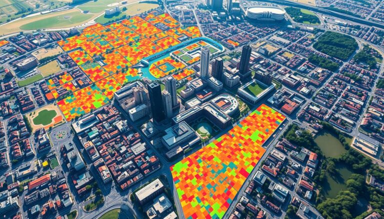
Watauga County GIS

Your Guide to Watauga County GIS: Maps, Data, and More

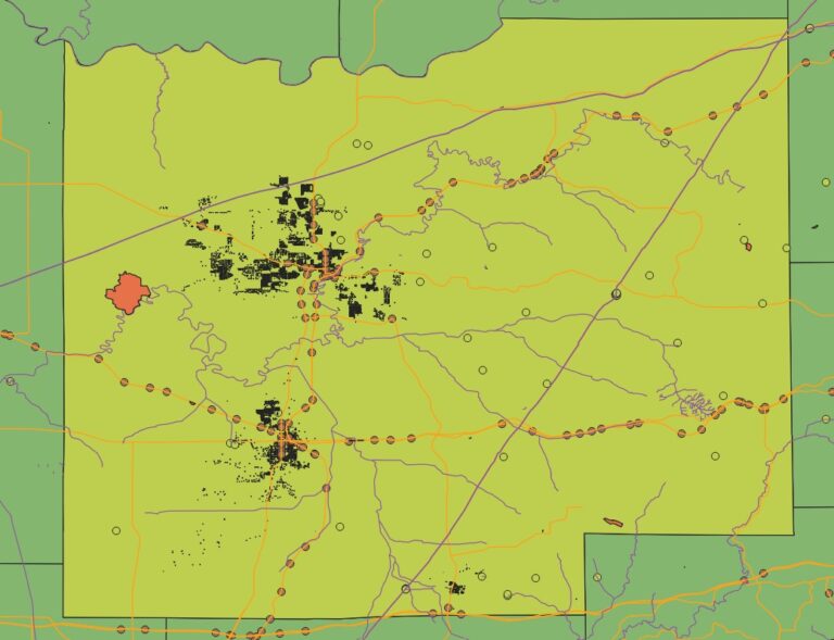
The Watauga County GIS system is a powerful tool. It gives access to lots of geographic data. This includes property maps and more, all through the Watauga County GIS. This system helps people navigate the county’s geography. It’s great for residents, businesses, and visitors. If you want to explore the county’s maps and data, this…

AI for Wildfire Prevention

Leveraging Geospatial Tech & AI for Wildfire Prevention and Forecasting

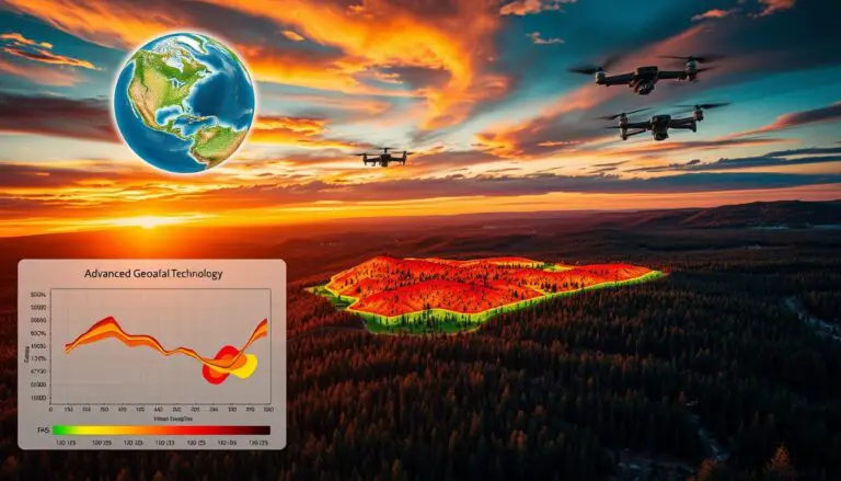
Geospatial technology is key in stopping and predicting wildfires in Los Angeles. When paired with AI, it boosts these efforts. This combo helps authorities predict and prevent wildfires more accurately. Los Angeles uses advanced tech like geographic information systems and remote sensing. These tools help understand wildfire risks and prevent them. This is vital for…

GIS for Solid Waste Management

GIS for Solid Waste Management

In the world of urban planning and city operations, Geographic Information Systems (GIS) play a key role. They help make solid waste management more efficient and sustainable. Cities face big challenges in waste collection, disposal, and analysis. GIS technology is a powerful tool to help solve these problems. GIS offers a detailed, data-based way to…

GIS and Machine Learning for Spatial Predictions

Integrating GIS and Machine Learning for Predictions

In today’s world, combining Geographic Information Systems (GIS) and Machine Learning (ML) is key. This mix uses GIS’s data management and ML’s pattern recognition. It helps organizations make better decisions by unlocking new insights. Spatial data is central to GIS. It includes everything from demographics to environmental trends. By using GIS and ML together, we…

GIS in Oil Spill Detection and Management

Detecting Oil Spills Using GIS

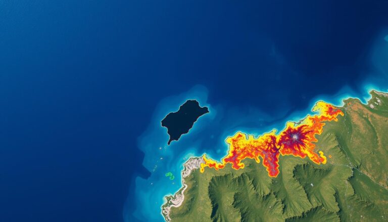
Geographic Information Systems (GIS) play a key role in fighting environmental challenges. They help detect and manage oil spills. GIS is a powerful tool that changes how we monitor the environment and respond to emergencies. This article explores how GIS improves oil spill detection. It makes cleanup efforts more efficient and effective. This protects our…

GIS in Crime Pattern Analysis

Crime Pattern Analysis with GIS Tools

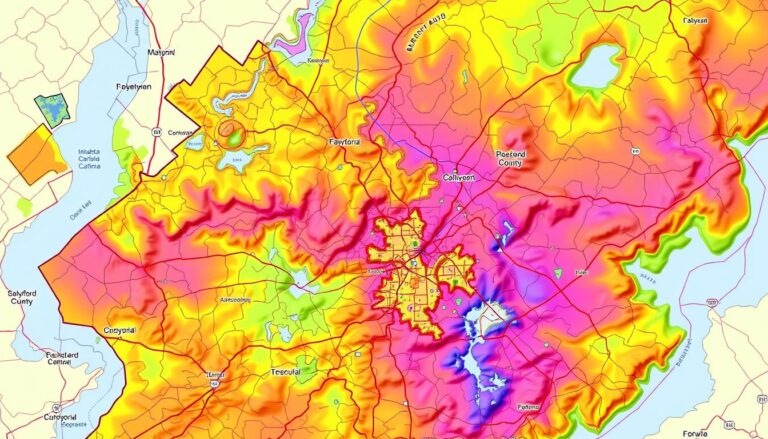
In today’s world, Geographic Information Systems (GIS) have changed how we look at crime. GIS tools help law enforcement and researchers find insights they couldn’t before. This article shows how GIS is key in making our communities safer. GIS has changed crime mapping and analysis. It lets law enforcement see and understand crime better. With…

GIS for Urban Growth and Sprawl Analysis

GIS for Urban Growth and Sprawl Analysis

The world is changing fast, with cities growing quickly. This makes it crucial to understand and manage city growth. Geographic Information Systems (GIS) are key tools for city planners and policymakers. They help analyze how cities grow and tackle the issues of urban sprawl. GIS technology offers a detailed, data-driven way to plan cities. It…

GIS for Public Health

Using GIS for Public Health Mapping

Geographic Information Systems (GIS) are now key in public health. They help health experts and policymakers tackle big health issues. GIS uses spatial analysis to change how we watch over diseases, make healthcare easier to get, and do research on health. GIS mixes different data types, like people’s info and environmental factors. This helps health…