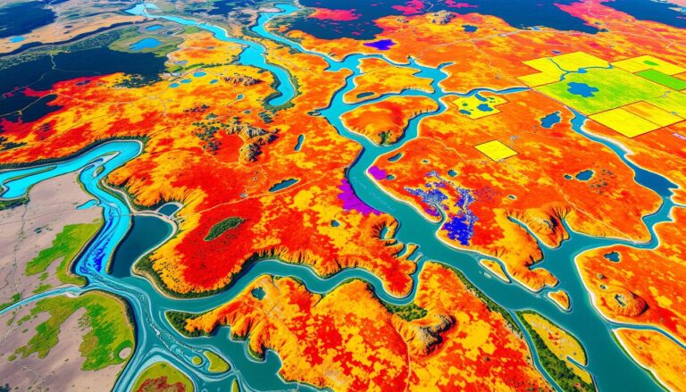
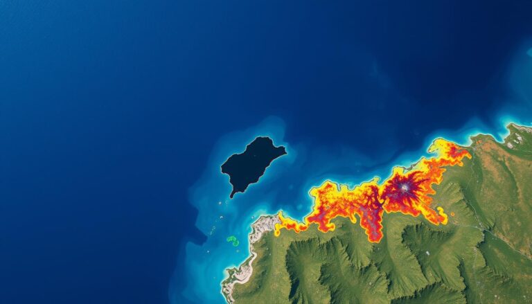
Flood Risk Assessment Using GIS
Climate-related disasters are on the rise, making flood risk assessment more important than ever. Geographic Information Systems (GIS) are key tools in this effort. They provide insights and capabilities to understand, visualize, and reduce flood risks. GIS has become a game-changer in disaster management by using advanced geospatial technologies.
GIS plays a vital role in managing flood risks. It helps identify areas at risk, predict flood patterns, and develop mitigation strategies. GIS tools map flood zones and model hydrological scenarios. This empowers communities and decision-makers to make informed decisions, enhancing resilience and protecting lives and livelihoods.
Key Takeaways
- Flood risk assessment using GIS provides a comprehensive understanding of flood hazards and vulnerabilities.
- GIS-based tools enable the visualization and analysis of flood-prone areas, supporting effective disaster preparedness and response.
- Integrating GIS with hydrological models enhances flood forecasting and scenario planning capabilities.
- GIS-driven flood risk assessment facilitates the development of targeted mitigation strategies and the optimization of limited resources.
- Collaboration between GIS experts, community stakeholders, and emergency services is crucial for successful flood risk management.
Understanding the Basics of Flood Risk Assessment
Flood risk assessment is key in disaster management. It helps communities and policymakers understand flooding impacts. They can then take steps to lessen these risks. This process looks at the chance of floods and their effects, including hazards, vulnerability, and exposure.
What is Flood Risk Assessment?
Flood risk assessment checks if flooding might happen in an area. It looks at how it might affect people, property, and buildings. It finds flood-prone spots, guesses flood chances, and figures out possible damage.
Importance of Flood Risk Assessment
Doing a good flood risk assessment is vital for disaster management. It helps understand flood risks. This way, leaders can make smart disaster management plans. They can also protect people and important things from floods.
Key Components of a Flood Risk Assessment
A detailed flood risk assessment has several important parts:
- Hazard Identification: Finds the sources, types, and chances of floods like river, coastal, or flash floods.
- Vulnerability Analysis: Looks at how people, property, and key buildings might be affected by floods.
- Risk Evaluation: Figures out the possible effects of floods, like money loss, social problems, and environmental harm.
Knowing these key parts helps communities plan better. They can work to mitigate flood risks and become more resilient to floods.
Introduction to Geographic Information Systems (GIS)
Geographic Information Systems (GIS) are key in managing floods. They help collect, store, and analyze data. This gives us insights to fight flood risks.
Definition of GIS
GIS is a computer system that handles data with a geographic twist. It lets users see and understand data in new ways. This helps make better decisions.
Common Applications of GIS
- Mapping and cartography
- Spatial analysis and modeling
- Urban and regional planning
- Environmental management
- Transportation and logistics
- Public health and epidemiology
Benefits of Using GIS in Flood Management
GIS tools help a lot in managing floods. They offer:
- Improved spatial analysis: GIS mixes different data types to create detailed models. This helps understand flood risks better.
- Enhanced data visualization: GIS makes it easy to show flood risks on maps. This helps everyone understand the dangers.
- Informed decision-making: GIS gives insights for better flood management. It helps find high-risk areas and plan for safety.
| GIS Tool | Flood Management Application |
|---|---|
| ArcGIS | Mapping and spatial analysis of flood hazards, vulnerability assessments, and emergency response planning |
| QGIS | Open-source GIS software for flood risk modeling, floodplain delineation, and hydrological modeling |
| Google Earth Engine | Satellite-based monitoring of flood events, land-use changes, and infrastructure vulnerabilities |
“Geographic Information Systems (GIS) have revolutionized the way we understand and manage flood risks, providing us with powerful tools for spatial analysis, data visualization, and informed decision-making.”
The Relationship Between GIS and Flood Risk Assessment
Flood risk assessment is key to managing flood impacts. Geographic Information Systems (GIS) improve the accuracy of flood risk analysis. They do this by combining GIS with advanced hydrological modeling.
How GIS Enhances Flood Risk Analysis
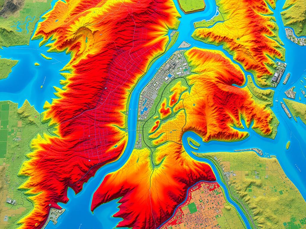
GIS technology has many tools that boost flood risk analysis. It uses advanced mapping and data analysis to pinpoint high-risk areas. GIS also maps flood zones and assesses vulnerabilities with high precision.
GIS-based flood modeling looks at many factors like topography and land use. It uses historical flood data to create detailed simulations and predictions.
Integrating GIS with Hydrological Models
Combining GIS with hydrological models is vital for flood risk assessment. This mix helps understand flood dynamics better. It includes water flow patterns and flood depths.
This integration leads to more accurate flood forecasting. It helps in planning risk mitigation and emergency responses.
| Benefits of Integrating GIS and Hydrological Modeling | Description |
|---|---|
| Improved Flood Prediction Accuracy | The combination of GIS spatial data and hydrological models enhances the reliability of flood forecasts, enabling more informed decision-making. |
| Enhanced Flood Risk Mapping | GIS-based flood risk mapping provides detailed visualizations of high-risk areas, flood extents, and vulnerable infrastructure. |
| Efficient Flood Mitigation Planning | Integrating GIS and hydrological models allows for the development of more effective flood mitigation strategies, such as the implementation of flood control structures and evacuation planning. |
By using GIS and hydrological modeling together, flood risk assessment gets better. This leads to smarter decisions and more effective flood management.
Data Collection for Flood Risk Assessment
To assess flood risks well, we need good data. This data helps us understand how big a flood could be and where it might hit. We look at many types of data, like the land’s shape and how much water flows through it.
Types of Data Needed
- Topographic data, such as elevation, terrain, and land cover information
- Hydrological data, including river flow rates, precipitation levels, and groundwater levels
- Meteorological data, encompassing weather patterns, historical storm events, and climate trends
- Demographic data, to identify population distribution and vulnerabilities
- Infrastructure data, such as the location and condition of flood control structures
Sources for Flood Risk Data
We get flood risk data from many places. Government agencies, schools, and even satellites help us. Satellites give us pictures of where floods might happen. Old records and live monitoring show us patterns.
| Data Source | Data Type | Advantages |
|---|---|---|
| National Oceanic and Atmospheric Administration (NOAA) | Meteorological and hydrological data | Comprehensive, reliable, and publicly available |
| U.S. Geological Survey (USGS) | Topographic, hydrological, and geospatial data | Detailed, high-quality data with nationwide coverage |
| Satellite imagery (e.g., Landsat, Sentinel) | Topographic and land cover data | Provides a comprehensive, up-to-date view of the landscape |
Data Quality and Reliability
Getting good flood risk data is key. We need to make sure it’s right, up-to-date, and complete. Checking the data often and using different sources helps keep it trustworthy.
“High-quality data is the foundation for effective flood risk assessment and management. Without reliable information, our efforts to mitigate and prepare for flooding events are severely compromised.”
Analyzing Flood Risk Using GIS Tools
Geographic Information System (GIS) tools are key in understanding flood risks. They help us see where floods might happen and how bad they could be. This is crucial for managing flood risks.
Popular GIS Software Options
Tools like ArcGIS, QGIS, and HEC-RAS are top choices for flood analysis. They offer many features for managing data and analyzing it. These GIS tools help professionals gather and study important data.
Mapping Flood Zones and Vulnerabilities
GIS is great for making flood zone mapping detailed. It uses data like past floods, rain patterns, and land shapes. This helps find areas at risk and where to focus on safety.
3D Visualization of Flood Risks
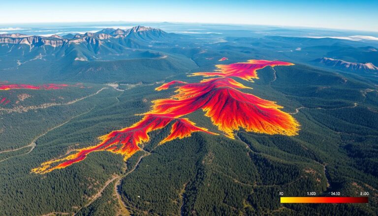
3D visualization in GIS makes flood risks clearer. It shows how deep and wide floods could be. This helps plan for emergencies and build stronger communities.
In short, GIS tools have changed how we deal with flood risks. They help us map dangers, understand risks, and plan for the future. This makes communities safer and more resilient.
Case Studies: Successful Flood Risk Assessments
Flood risk assessment is key to good flood management. Let’s look at some examples from the U.S. and around the world. These show how Geographic Information Systems (GIS) help.
Notable Examples from the U.S.
In 2017, Houston, Texas, faced a big flood after Hurricane Harvey. GIS helped the city find high-risk areas. This led to better planning and use of resources.
GIS showed the community how bad the flood risks were. This knowledge helped them take action to prevent future floods.
International Success Stories
The Dutch are leaders in flood risk management. In the Netherlands, GIS maps flood-prone areas and models floods. This helps in creating strong flood protection plans.
In Jakarta, Indonesia, GIS is key to solving flooding problems. It helps find areas at risk and plan for floods. This way, the city can improve drainage and move people to safer places.
Lessons Learned from Case Studies
These examples show GIS’s power in managing floods. We learn the importance of good data and detailed models. Community involvement is also crucial.
By using these lessons, communities can improve their flood defenses. This helps keep people safe from floods.
| Location | Key Findings | Outcomes |
|---|---|---|
| Houston, Texas, USA | GIS data and analysis helped identify high-risk areas and prioritize mitigation efforts after Hurricane Harvey. | Targeted flood prevention measures were implemented, improving the community’s resilience. |
| Netherlands | Integrated GIS and hydrological modeling set a benchmark for flood risk assessment and management. | Comprehensive flood protection strategies were developed, leveraging the country’s expertise in this field. |
| Jakarta, Indonesia | GIS-based flood risk assessment helped map vulnerable areas and model potential flood events. | Interventions such as drainage system improvements and relocation of high-risk populations were implemented. |
Flood Modelling Techniques in GIS
GIS tools are key in understanding and fighting floods. They use hydraulic and hydrologic modeling, along with scenario analysis. This combo helps us manage flood risks better.
Hydraulic Modelling
Hydraulic modeling looks at how floodwaters move. It uses GIS to see how water flows in rivers, streams, and cities. This helps find out where floods are most likely to hit and how to stop them.
Hydrologic Modelling
Hydrologic modeling looks at what makes floods happen. It checks things like rain, soil, and land cover. GIS tools help put all this data together for a full picture of flood risks.
Scenario Analysis in Flood Risk Assessment
Scenario analysis uses GIS to test different flood scenarios. It looks at how changes in land, weather, or buildings might affect floods. This helps plan the best ways to deal with floods.
| Modeling Technique | Key Focus | GIS Applications |
|---|---|---|
| Hydraulic Modelling | Physical movement and behavior of floodwaters | Simulating water flow, identifying high-risk zones |
| Hydrologic Modelling | Processes contributing to flood generation and movement | Integrating hydrological data, informing flood risk assessments |
| Scenario Analysis | Evaluating different flood risk scenarios | Simulating various factors, developing mitigation strategies |
GIS tools help us understand and fight floods. They make it easier to see, prepare for, and handle flood risks. This way, we can keep our communities safe from floods.
Risk Mitigation Strategies Using GIS
Geographic information systems (GIS) are key in fighting flood risks. They help disaster managers spot flood-prone spots. This makes it easier to focus on the most critical areas.
Identifying At-Risk Areas
GIS helps map out flood-risk zones accurately. It uses data on land shape, water flow, and past floods. This info is vital for planning and using resources wisely.
Implementing Flood Mitigation Plans
GIS guides in creating detailed flood plans. It helps design and check how well structures like levees work. It also suggests non-structural solutions like better land use and natural flood control.
Monitoring and Revising Mitigation Efforts
Keeping up with flood risk is essential. GIS tracks how well plans work. It helps adjust strategies based on new data, keeping communities safe.
GIS has changed how we face floods. It uses data to make smart choices and improve flood defenses. This way, disaster teams can better protect their communities.
Community Involvement in Flood Risk Assessments
Managing flood risks well needs the help of the community. GIS experts must team up with local people. This ensures flood risk assessments meet the community’s needs and worries.
Engaging Local Stakeholders
It’s key to involve local people in flood risk assessments. This can be done through town hall meetings, workshops, and public forums. By listening to residents, businesses, and community groups, GIS experts can make better flood risk plans.
Importance of Public Awareness
It’s vital to tell people about flood risks. This helps them get ready and stay strong. GIS maps and educational stuff can be shared through local media, social media, and schools. When people know what’s going on, they can play a big part in managing flood risks.
Collaborating with Emergency Services
Working together is crucial for good flood risk management. GIS experts, policymakers, and emergency services need to team up. This way, communities can respond fast and well to floods. It’s all about working together to keep people and property safe.
| Stakeholder Group | Role in Flood Risk Assessment |
|---|---|
| Residents | Provide local knowledge, identify vulnerable areas, and participate in preparedness activities |
| Local Businesses | Contribute to economic impact assessments and support flood mitigation initiatives |
| Community Organizations | Assist with outreach and education, and mobilize volunteers for emergency response |
| Emergency Services | Integrate GIS data into emergency planning and coordinate disaster response efforts |
By getting the community involved, raising awareness, and working with emergency services, GIS experts can make flood risk assessments better. These assessments will really help the communities they serve.
Future Trends in GIS and Flood Risk Assessment
Technology is advancing fast, and Geographic Information Systems (GIS) will see big changes. These changes will greatly affect how we assess flood risks. Soon, data analysis and artificial intelligence (AI) will be key in managing flood risks and planning cities.
Advances in Technology and Data Analysis
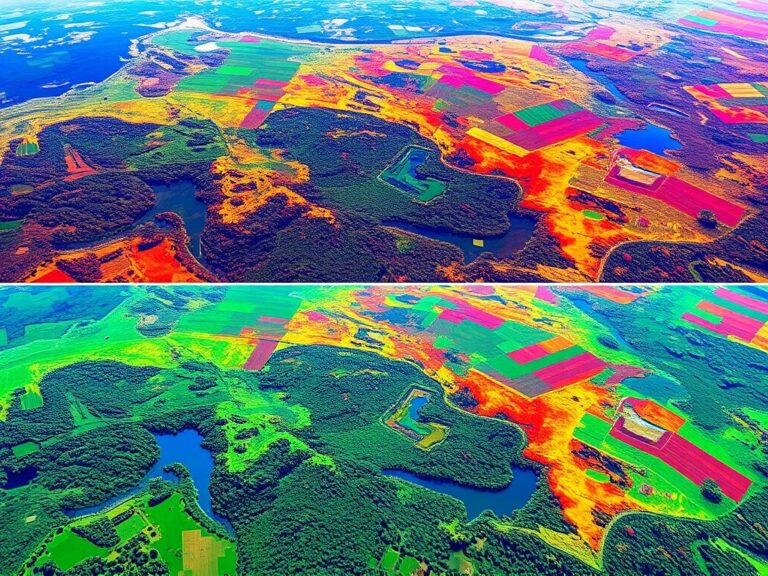
GIS technology is evolving quickly, leading to a new era in flood risk assessment. New tools like remote sensing and satellite imagery are collecting lots of data. This data, combined with better algorithms, will help us understand flood-prone areas better.
This will lead to more accurate risk models and better ways to prevent floods.
Role of Artificial Intelligence in Flood Risk Assessment
Artificial intelligence is changing how we assess flood risks. AI tools can quickly analyze complex data, find patterns, and predict outcomes with high accuracy. This makes flood risk assessments more dynamic and adaptable to environmental changes.
The Future of GIS in Urban Planning
GIS will have a big impact on urban planning as it improves flood risk assessment. By using GIS, urban planners can create stronger, more sustainable cities. They can make better decisions about land use and infrastructure.
GIS helps visualize flood risks and simulate different scenarios. This transforms urban planning to focus more on preventing floods and building stronger communities.
“The future of GIS in flood risk assessment is one of unprecedented data-driven insights and AI-powered decision-making, paving the way for more resilient and flood-prepared communities.”

Floods are becoming more common and severe, making GIS crucial for assessing flood risks. By using new technology and AI, GIS can help make communities safer and more sustainable. This is a promising future for GIS in managing flood risks.
Conclusion: The Importance of GIS in Managing Flood Risk
In this article, we’ve seen how Geographic Information Systems (GIS) are key in managing flood risks. It’s clear that GIS is a vital tool for flood risk management experts and community members.
Summary of Key Points
We’ve covered the basics of flood risk assessment and how GIS software helps. This article showed how GIS is used to map flood zones and understand vulnerabilities. It also explained how GIS works with hydrological models for better flood risk assessments.
Encouraging Further Research and Development
As technology gets better and we learn more about floods, we must keep pushing the limits of GIS in flood risk management. Research in areas like artificial intelligence and predictive modeling will help us better prepare for and deal with floods.
Call to Action for Communities and Stakeholders
This article is a call to action for communities and stakeholders to use GIS in managing flood risks. By working together, investing in GIS, and empowering local leaders, we can make our communities safer from floods. The future of flood risk management depends on using advanced GIS technologies and the dedication of those who protect our communities.

