Ventura County GIS: Explore with Ease
Ventura County GIS: Explore with Ease
Unveiling the Power of GIS for Ventura County Insights
What is GIS, and Why is it Valuable for Ventura County?
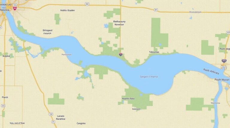
Geographic Information Systems (GIS) is like a powerful magnifying glass for understanding the world around us. Imagine being able to view interactive maps showcasing everything from land parcels to water sources to traffic patterns. This is the power of GIS, and Ventura County leverages it incredibly well.
Ventura County GIS is a comprehensive system that provides a wealth of data and resources tailored to the distinct terrains, environmental challenges, and community needs of this beautiful region. Whether you are a resident seeking information about your community, a business planning expansion, or a researcher exploring local trends, GIS offers actionable insights and convenient access to data.
Ventura County GIS Resources: A Breakdown
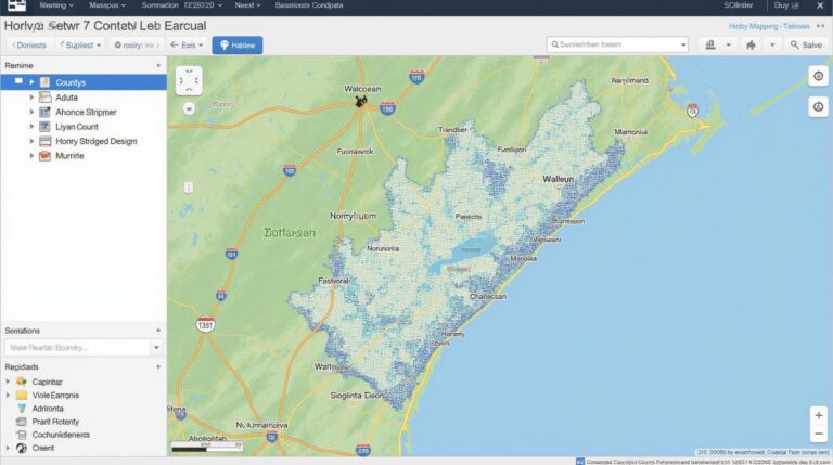
- Ventura County GIS Website: This is the primary hub for readily available data. You’ll find maps, aerial imagery, zoning data, demographic information, various datasets, and helpful online guides for navigating the system. https://gis.ventura.org/
- Los Angeles County GIS platform: This hosting platform provides access to several publicly available GIS datasets. Search and download information related to Ventura County. https://gis.lacounty.gov/
Official Data Portals and Websites:
Resource-Specific Tools and Websites
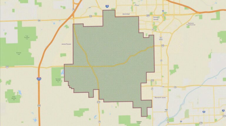
- Property Tax Assessment: Ventura County offers mapping tools that help you identify land parcels, locate addresses, and understand property values. https://www.countyofventura.org/sites/g/files/vyhlif411/files/documents/property.pdf
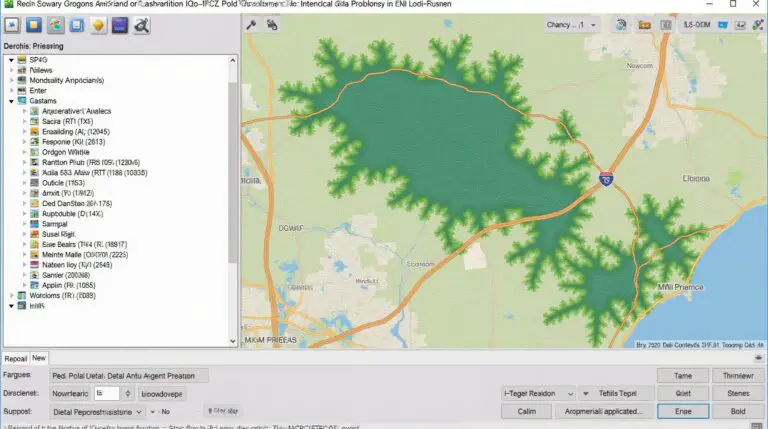
- Building Maps: Easily locate new construction projects throughout the county or analyze the history of property developments. https://gis.ventura.org/dem/index.html
Practical Applications of Ventura County GIS
The applications are as diverse as Ventura County itself. Here’s a glimpse of how the resources mentioned above are used:
For Residents:
- Planning and Zoning Awareness: Request a parcel map, see property assessments, study plans for land development in your area, and understand the zoning process.
- Discover Local Services: Locate essential urban services, such as parks, community centers, public libraries, and emergency services.
For Businesses:
- Business Location Analysis: Analyze traffic patterns, assess visibility and access, find potential workers, and understand the demographics of the surrounding area.
- Improving Business Efficiency: Optimize routes for deliveries, manage supply chains more effectively, and understand the location and demographics of your target customers.
For Researchers:
- Analyze Environmental Trends: Understand land cover changes, track water resource distribution, monitor wildfire activity, and research the biodiversity and wildlife habitat.
- Support Socio-Economic Research: Analyze population demographics, income levels, and housing patterns to discern trends and insights for academic and community research projects.
Frequently Asked Questions (FAQs)
Looking for answers to questions about Ventura-County-GIS data? Here are some common frequently asked questions answered briefly.
What Types of GIS Data Does Ventura-County-GIS Offer?
Ventura-County-GIS provides a variety of data formats relevant to the region.
* **Shapefiles:** This is a common and widely used geospatial format for features like roads, land parcels, and parcels.
* **GeoJSON:** A lightweight and easy to use format that is ideal for sharing and integrating data.
* **Raster packages:** These include aerial imagery and maps in various resolutions for different applications such as resource management and environmental analysis.
* **Custom Data:** Ventura-County-GIS offers custom datasets for specific needs and requests.
Is Your GIS Data Interactive and User-Friendly?
Yes, our data is designed to be easily accessed and analyzed.
What Are the Different Formats For Data Downloads?
To download data, you can visit the following links:
How Do I Access and Use This Data?
It is important to read the data documentation. Generally, though, you can use GIS data in common software like:
* ArcGIS (Subscription required)
* QGIS (Open-source software)
* Google Earth Pro
* Microsoft Excel
What Other Resources & Support Does Ventura-County GIS Offer?
For more information, visit our home page and explore our interactive services. You can also contact us for assistance.
Why is GIS data important for Ventura-County-GIS?
Geospatial information is fundamental for Ventura-County-GIS for several crucial reasons including:
- **Increased Efficiency and Productivity:** Streamlining administrative tasks by analyzing the physical layout and distribution of resources, services, and users.
- **Informed Decision Making:** Providing evidence-based data to support informed planning and policy decisions for infrastructure, transportation, emergency management, and resource management.
- **Empowering the Community:** Improving understanding of our community by providing accessible geospatial data for everyday activities and citizen engagement.
Actionable Insights
By accessing and incorporating Ventura- County-GIS data, residents and businesses can gain valuable insights for decision making. The power of GIS data translates to:
- **Smart Development Strategies:** Efficient land-use planning, zoning regulations, and infrastructure development.
- **Enhanced Environmental Protection:** Monitoring and managing natural resources, such as water and wildfire risks.
- **Efficient Transportation Planning:** Optimizing road networks, public transit services, and traffic management.
Let me know if you’d like me to add more details, specific examples, or specific data sources.
Check similar topics: