TechGeo Mapping Certification: Test and Certify Your Geospatial Knowledge Online
Table of Contents
Are you a GIS student, mapping professional, remote-sensing specialist, or geospatial enthusiast looking to evaluate your knowledge?
The TechGeo Mapping Academy Certification provides an online assessment covering several important areas of geospatial technology. Candidates can complete a timed examination and receive a downloadable certificate after achieving the required passing score.
Official certification platform:
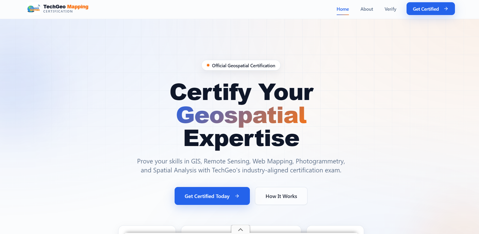
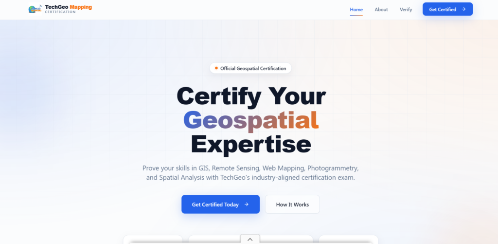
Certify Your Geospatial Expertise
The TechGeo Mapping Academy platform is designed to assess knowledge in GIS, remote sensing, Web mapping, photogrammetry, cartography, spatial analysis, and other geospatial disciplines.
Its homepage introduces the assessment with the message “Certify Your Geospatial Expertise” and provides direct access to the certification process through the Get Certified Today button.
The platform may be useful for students, self-taught GIS learners, early-career professionals, and experienced practitioners who want to evaluate their understanding of core geospatial concepts.
What Is TechGeo Mapping Academy?
TechGeo Mapping Academy describes itself as an online certification platform that tests and recognizes knowledge in geospatial technologies.
The platform offers several convenient features:
- A question bank containing more than 200 questions
- A randomly generated assessment for each candidate
- An instant certificate after passing
- No account, password, or subscription required
Because registration does not require creating a permanent account, candidates can begin the assessment by entering only their name and email address.
Topics Covered by the Certification Exam
The certification assessment covers knowledge from several major geospatial disciplines.
Topics shown on the platform include:
- GIS fundamentals and spatial thinking
- Coordinate systems and map projections
- Remote sensing and satellite imagery
- Photogrammetry and drone mapping
- Spatial data processing and analysis
- Web mapping and GIS platforms
- GeoAI and machine learning
- Cartography and map design
The broad range of subjects means that candidates should prepare beyond one particular GIS application. Understanding general geospatial principles, data-processing methods, mapping concepts, and spatial technologies will be important.
How the Certification Process Works
The certification process consists of three main stages.
1. Register for the Assessment
Candidates begin by visiting the official certification page:
Start your TechGeo certification
The registration form asks for a full name and email address. The candidate’s name will appear exactly as entered on the downloadable certificate, so spelling and capitalization should be checked carefully before continuing.
PartagerNo account or password is required to proceed.2. Take the Timed Exam
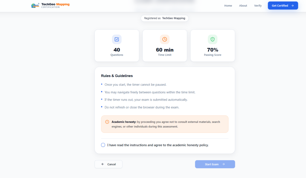
After registration, candidates are taken to the examination instructions page.
The assessment includes:
- 40 questions
- A 60-minute time limit
- A required passing score of 70%
Candidates may move freely between questions while time remains. However, the timer cannot be paused, and the exam is submitted automatically when the time expires.
The instructions also advise candidates not to refresh or close the browser while completing the assessment.
3. Receive the Certificate
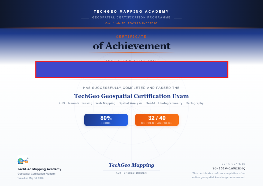
Candidates who score at least 70% can immediately download a personalized certificate.
According to the platform, the certificate may contain the candidate’s:
- Full name
- Examination score
- Completion date
- Unique certificate identification number
The website also includes a Verify section that can be used to check certificate information.
Academic Honesty During the Exam
Before starting, candidates must agree to the platform’s academic-honesty policy.
The instructions state that candidates should not consult external materials, search engines, or other individuals during the assessment. The certification result should represent the candidate’s own knowledge.
This is particularly important because the value of any skills assessment depends on the honesty and independence of the person completing it.
Who Can Benefit From the Certification?
The assessment may be particularly useful for GIS students who want to review what they have learned, self-taught learners who need a structured knowledge test, and professionals seeking an additional certificate for their portfolio.
It can also help identify areas that require further study. For example, a candidate may be comfortable with GIS data analysis but need more practice with coordinate systems, remote sensing, Web mapping, or photogrammetry.
The certificate can be added to a résumé, LinkedIn profile, personal website, or professional portfolio as evidence of completing the assessment.
However, candidates should verify whether an employer, university, government agency, or professional association recognizes the certificate before presenting it as an accredited professional qualification.
How to Prepare
Candidates should review both theoretical concepts and practical geospatial workflows before beginning the assessment.
Important areas to revise include spatial data models, raster and vector analysis, coordinate reference systems, map projections, satellite imagery, remote-sensing classification, cartographic design, drone mapping, Web GIS, and spatial data processing.
Practical experience with GIS software and real datasets can also help reinforce these concepts.
Because the exam contains randomly selected questions from a larger question bank, preparation should focus on understanding the subject rather than memorizing a small number of answers.
Final Thoughts
TechGeo Mapping Academy offers a simple online method for testing knowledge across several geospatial disciplines.
With 40 questions, a 60-minute limit, a 70% passing requirement, and an immediately downloadable certificate, the assessment is designed to be accessible to learners and professionals interested in measuring their geospatial knowledge.
The certificate is most valuable when combined with practical GIS projects, demonstrable technical abilities, education, and professional experience.
Ready to test your skills?