AI-Driven Geospatial Analysis for Climate Change
Harnessing the Power of AI in Geospatial Analysis for Climate Change
Climate change poses a plethora of challenges, demanding effective strategies for monitoring and mitigating its destructive impacts. GeoAI, a powerful combination of geographic information (GIS) and artificial intelligence (AI), is revolutionizing our approach to climate change research and action. This blog post will delve into the capabilities of AI-driven geospatial analysis, identifying its key features, highlighting its benefits, and exploring practical applications.
Key Features of AI-Driven Geospatial Analysis
The transformative power of AI in geospatial analysis originates from its ability to leverage machine learning algorithms to extract valuable insights from vast datasets. This ensures efficient processing of complex spatial information, allowing for:
- **Predictive Model Building:** AI algorithms can be trained on historical climate data and spatial patterns to forecast future climate trends, based on factors like sea level rise or crop yield variations.
- **Data Anomaly Detection:** Identifying areas of unusual weather activity, like droughts or floods, enables proactive response measures and resource allocation for affected communities.
- **Automated Spatial Insights:** AI can automatically classify maps and generate spatial relationships, simplifying data interpretation often requiring significant expertise.
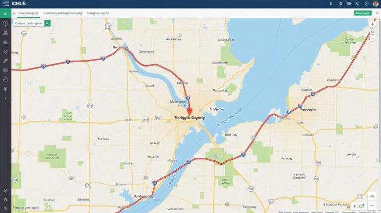
- **Visualizations & Dashboards:** AI-powered GIS tools create dynamic visualizations and interactive dashboards, facilitating better understanding and communication of climate change impacts and solutions.
Benefits of AI in Geospatial Climate Change Analysis
The integration of AI in geospatial analysis offers a range of benefits for tackling climate change, which include:
- **Enhanced Decision-Making:** Data-driven insights enable objective and informed decision-making on resource allocation, infrastructure development, and community planning for a sustainable future.
- **Mitigation & Adaptation Strategies:** By identifying vulnerable areas and predicting future climate patterns, AI helps develop effective mitigation and adaptation strategies to minimize environmental disruptions.
- **Improved Resilience:** Early detection of climate change impacts allows for proactive planning and response measures, enhancing resilience of communities and infrastructure.
- **Knowledge Integration:** AI facilitates seamless integration of diverse data sources like satellite imagery, weather patterns, and environmental data, providing holistic understanding of climate change impacts.
Practical Applications of GeoAI for Climate Change
The application of AI-driven geospatial analysis extends across multiple domains, offering valuable solutions to pressing climate change concerns.
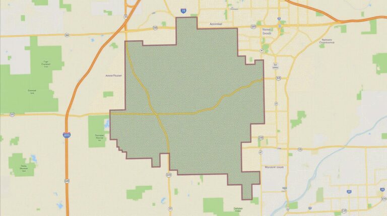
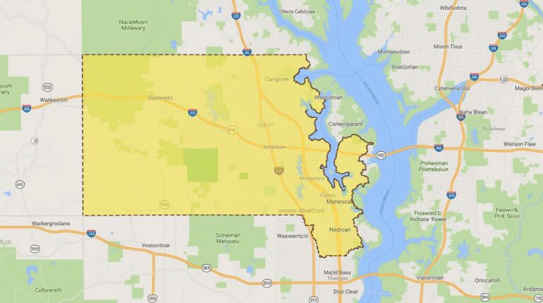
- **Flood Risk Mapping:** AI models analyze flooding patterns and historical data to forecast flood risk and guide evacuation planning in vulnerable areas.
- **Agriculture Optimization:** AI-powered crop monitoring and yield prediction tools help farmers optimize water use and implement precision agriculture practices to improve food security in a changing climate.
- **Renewable Energy Potential Assessment:** AI assesses geographical suitability for solar and wind power, targeting areas with optimal resource availability and suitable environmental conditions for renewable energy sources.
- **Urban Heat Island Mitigation:** GeoAI analyzes urban configurations and temperature data to identify areas susceptible to heat island effects and suggests solutions like creating green spaces and piloting microclimate strategies.
Conclusion
AI-driven geospatial analysis is a critical tool empowering scientists, policymakers, and climate change experts to translate complex data into proactive strategies to address the multifaceted challenges posed by climate change. By leveraging AI’s potential, we can drive informed decision-making, mitigate risks, and foster a resilient future for our planet.
Resources for Further Learning
- http://landscape.arcgis.com/en/gis/home/
- https://www.esa.int/Science_Exploration/Space_Safety/AIAA_GeoAI_report
Check similar topics:
- geoai-smart-city-development
- geoai-wildlife-habitat-mapping-species-conservation
- machine-learning-in-geoai-predictive-models
FAQs for ai-climate-change-geospatial
This section outlines common questions about ai-climate-change-geospatial. We’ve included information on availability, formats, usage, and more.
What is ai-climate-change-geospatial
ai-climate-change-geospatial is a powerful resource combining artificial intelligence with climate science and geospatial data analysis. It provides accessible models and insights for exploring, predicting, and managing challenges related to climate change at the local, regional, and global scales.
How Do I Access ai-climate-change-geospatial
Our ai-climate-change-geospatial resources are available through our dedicated platform
We encourage collaboration and offer dedicated support services.
What Data Does it Utilize?
Can I Download the Data and Models?
Yes! Our website has resources for downloading publicly available data, models, and tools. Please explore our downloads section for detailed information
AI-climate-change-geospatial platforms also provide the ability to contribute and collaborate on datasets and research projects, pushing the frontiers of environmental research using these powerful tools.
What Common Tasks Can I Use ai-climate-change-geospatial For? (Specific Examples)
Here are just a few examples of what you can achieve with ai-climate-change-geospatial:
- Identify key areas of concern for climate change
- Analyze potential impact of climate change on agricultural outputs
- Detect deforestation and track its impact on biodiversity preservation
- Create maps to forecast human displacement due to climate change
Why is ai-climate-change-geospatial important?
ai-climate-change-geospatial is a crucial tool in addressing the escalating challenges posed by climate change. It empowers:
* **Scientists and researchers**: With rapid, accurate data and analysis.
* **Government Officials**: To formulate informed climate policies.
* **Businesses**: To minimize their environmental footprint.
* **Individuals**: With the knowledge and tools needed for individual climate action.
Actionable Insights From ai-climate-change-geospatial:
Ai-climate-change-geospatial should be considered a vital resource for:
* **Predicting future trends:** Predict land-use changes, weather patterns, population displacement, etc., to prepare for emergences
* **Identifying high-priority actions:** Prioritize mitigation and adaptation measures targeting the areas most vulnerable or at-risk.
* **Engaging in proactive adaptation:** Tailor strategies to specific geographic regions and communities, maximizing potential for resilience and fostering sustainability.
Using ai-climate-change-geospatial, we can all play a part in mitigating the consequences of climate change and building a more sustainable future.


