GeoAI for Smart City Development – Urban Planning
GeoAI for Smart City Development – Urban Planning
GeoAI in Urban Planning: Shaping Smarter Cities
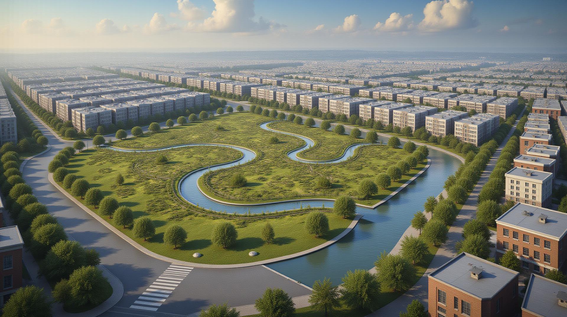
The bustling urban landscape is undergoing a critical transformation thanks to the rise of smart cities. GeoAI, or Geospatial Artificial Intelligence, is playing a pivotal role in this evolution, enabling data-driven urban planning and management for more informed and efficient development.
What is GeoAI?
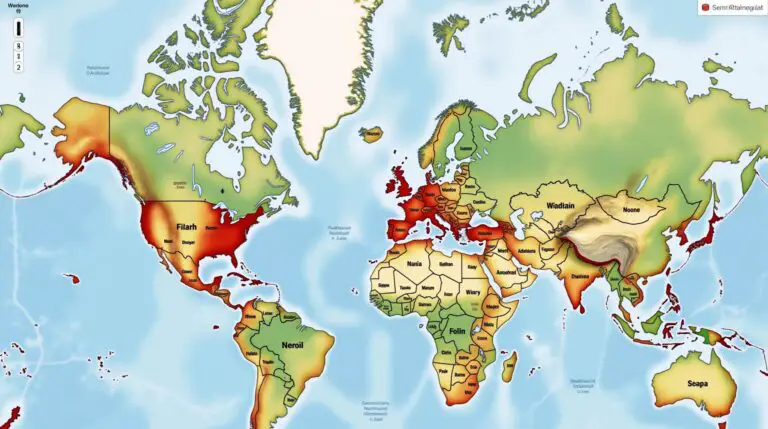
GeoAI leverages the power of Artificial Intelligence (AI) combined with geographical data to address complex urban challenges. This encompasses analyzing spatial data from sources like satellite imagery, mobile sensor networks, social media feeds, and GPS data. Through these tools and algorithms, GeoAI allows us to understand spatial dynamics within a city – its infrastructure, population dynamics, environmental patterns, architectural design, and more.
Key Features and Capabilities
- Spatial Data Analysis: GeoAI excels at handling massive datasets containing intricate spatial relationships. It helps identify patterns, trends, and anomalies, offering deep insights into urban environments.
- Predictive Modeling: By analyzing historical and real-time geospatial data, GeoAI can generate insightful forecasts of future scenarios. This includes predictive models on things like traffic flow, resource consumption, building heat maps, and pandemic spread.
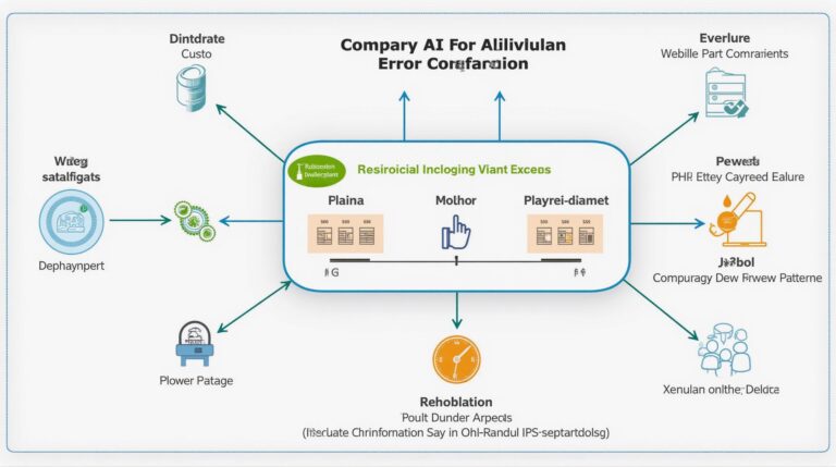
- Automated Decision Support: Integrating this technology automates decision-making processes. For example, GeoAI-powered systems can optimize traffic flow, predict energy demand for smart grids, allocate public resources effectively, and minimize waste.
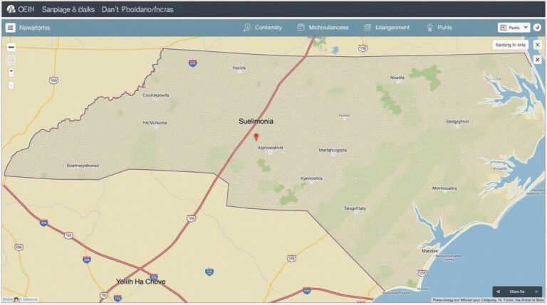
- Visualization and Mapping: GeoAI empowers caregivers with real-time interactive maps and analytics. These visuals can enhance understanding of complex urban systems, their interconnectedness, and potential bottlenecks.
Benefits of GeoAI in Urban Planning
Using GeoAI thoughtfully in urban planning offers significant benefits:
Applications
Smart City Infrastructure & Design
GeoAI plays a critical role in optimizing the design and management of smart infrastructure:
Improving Transportation Systems
GeoAI optimizes traffic flow patterns, alleviates congestion, and predict travel times for smoother commuting. Smart traffic signals are enabled by Geospatial capabilities.
Managing Utility Resources
Focusing energy and water resources – GeoAI can plan districts of renewable energies, assess water consumption, and predict energy demand that helps optimize distribution.
Public Safety and Disaster Management
Using GPS data and geo-mapping speed response, which is critical for accident reporting, crime analysis, and real-time event management.
Resources
Learn More! Discover valuable resources to deepen your understanding of GeoAI and its applications in urban planning:
- GeoAI in Urban Planning: A Look At the Impact
- Understanding the Usage of GeoAI in Urban Planning
- GeoAI Best Practices
Conclusion
With insights from GeoAI and its applications, cities are becoming more efficient, adaptive, and responsive to the dynamic needs of their inhabitants. The smarter cities of tomorrow rely on integrating GeoAI to create sustainable, equitable, and thriving environments.
Check similar topics:
- geoai-wildlife-habitat-mapping-species-conservation
- machine-learning-in-geoai-predictive-models
- ai-land-use-change-detection-satellite
GeoAI and Smart City Development: Frequently Asked Questions
Dive into the world of geoAI and smart city development with these common questions answered:
1. What is GeoAI and how is it used in Smart Cities?
GeoAI, or geographic artificial intelligence, is a branch of AI that utilizes geographic data like location, attribute information, and spatial relationships to provide insights and support decision-making. In smart cities, GeoAI is leveraged for efficient resource management, service optimization, and improved citizen wellbeing. Examples include predictive maintenance for city infrastructure, optimized traffic flow management, and proactive environmental monitoring.
2. How/Where Can I Access GeoAI-related Resources?
- Resources: [https://www.geospatial.com/](https://www.geospatial.com/) – A leading resource for global geospatial technology that offers various support services for GeoAI.
- Datasets and Case studies: [https://www.kaggle.com/](https://www.kaggle.com/) – Experience a vast database of geospatial datasets and research articles for a deeper understanding.
3. What are the Key Concerns with Implementing GeoAI Systems in the Smart City Framework?
Integrating GeoAI can come with some challenges. Cyber security vulnerabilities, data privacy, algorithmic bias risks, and the technical expertise to implement and maintain these systems are key concerns that should be actively addressed.
4. How are GeoAI Data Formats Used for Smart City Applications?
- OpenStreetMap: [https://www.openstreetmap.org/](https://www.openstreetmap.org/)
LiDAR – Light Detection and Ranging. This technology comes in real-time and from niche startups to value-added services already employed. - PostGIS: [https://postgis.net/](https://postgis.net/) enables advanced spatial data handling and manipulation within development environments.
5. What does GeoAI hold for the future of Smart City Development?
GeoAI promises to revolutionize how cities operate, offer better living experiences, build resilience, and combat climate change. By analyzing complex datasets, GeoAI will contribute to:
* **Resource Optimization**: Optimizing energy, water, and waste utilization efficiently for smart grids and sustainable city operations.
* **Predictive Analytics**: Anticipate traffic flows, infrastructure failures, and logistical challenges for proactive problem-solving.
* **Citizen Engagement**: Enhancing services and transparency for citizens with relevant data, personalized experiences, and control over city systems.
6. How Can I get started with GeoAI and Smart City Development?
Whether you are a developer, researcher, or city official, start by exploring existing open-sourced projects and community initiatives. Learn about platforms, tools, and resources available online.
7. Take Action!
The intersection of GeoAI and smart city development represents a transformative opportunity to build sustainable, resilient, and prosperous urban areas for the future. Join the community and contribute to a better world.
**Remember,** the landscape of GeoAI is rapidly evolving! Stay informed about the latest advancements and applications through online resources, communities, and dedicated events.

