Geospatial Data Mining for Predictive Analysis

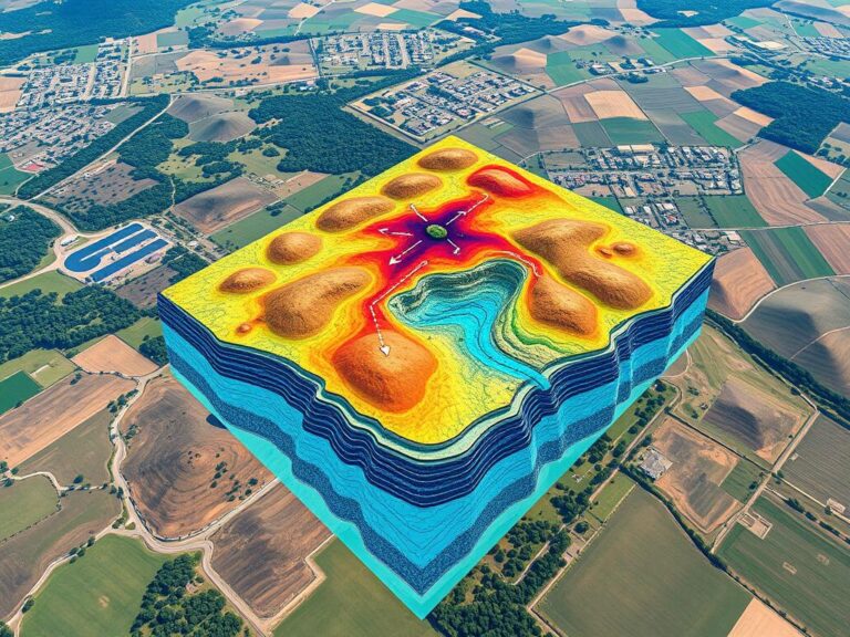
Predictive Analysis with Geospatial Data Mining

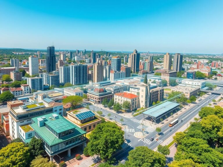
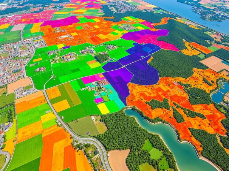
In today’s world, using location-based information is key for businesses. Geospatial data mining mixes spatial analysis and predictive modeling. It changes how we make decisions and find important insights. This article looks at how location-based data helps make forecasts for better decision-making. Geospatial data includes info about where things are and their attributes. It’s valuable…

Groundwater Mapping Using GIS

Groundwater Mapping Using GIS

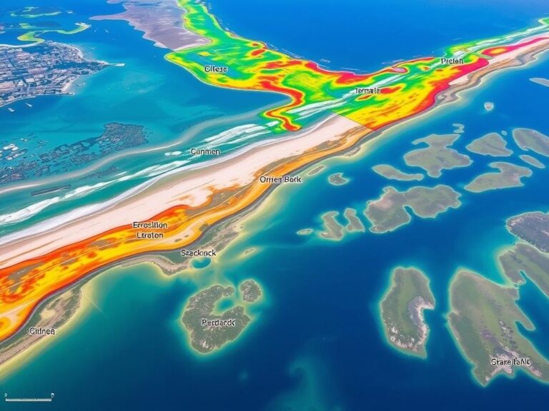
Groundwater is crucial for communities, farms, and industries all over the world. Yet, managing and saving this resource is hard, especially in areas with little water or complex underground systems. Luckily, Geographic Information Systems (GIS) have changed how we map groundwater, making it easier to manage water. GIS combines and analyzes data like underground layers,…

Mapping Socio-Economic Inequality

Mapping Socio-Economic Inequality

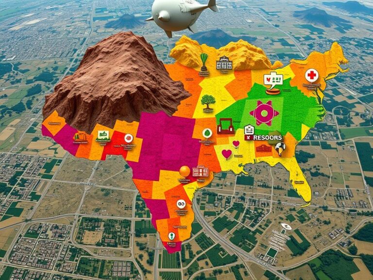
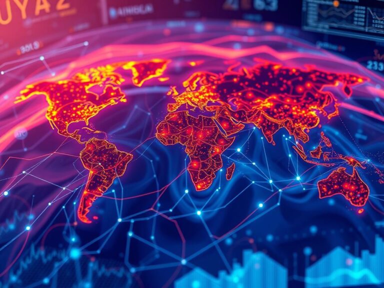
Socio-economic inequality is a big problem that affects communities all over the world. This article looks at how Geographic Information Systems (GIS) help map and show these differences. By using geospatial data and analysis, experts and leaders can better understand what causes inequality. This helps them create more effective solutions. Inequality shows up in many…

GIS and Green Infrastructure

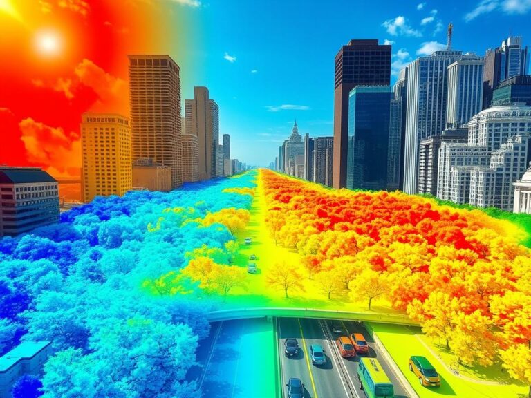
Enhancing Urban Areas with GIS and Green Infrastructure

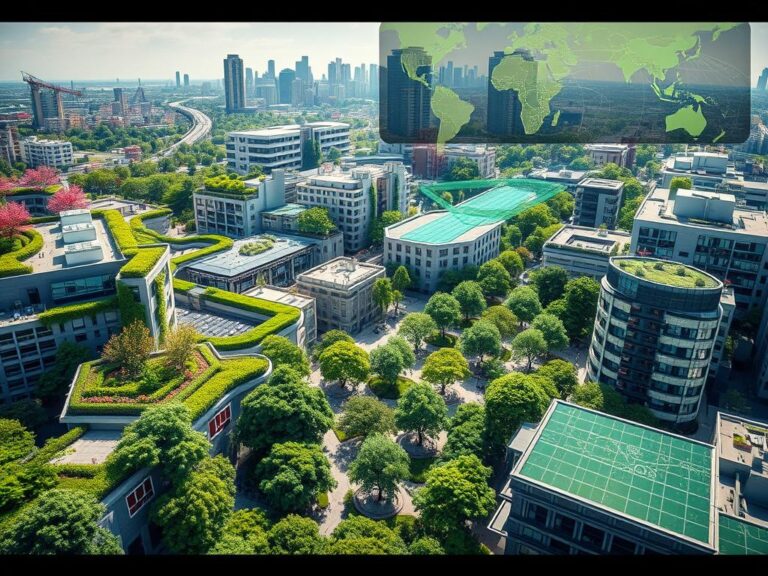
As cities grow, planners and policymakers seek new ways to make them sustainable. Geographic Information Systems (GIS) and green infrastructure are key tools in this effort. This article shows how these tools work together to make cities better places to live. GIS uses data to help planners understand their cities. It shows everything from land…