AI in Geospatial Data Integration – Multi-Source Data
AI in Geospatial Data Integration: Unlocking the Power of Multi-Source Data
The world of geospatial data is a vast and interconnected network, containing information about our planet’s physical features, human activity, and vast resources. However, realizing the full potential of this information requires seamless integration of data from various sources, a process that has historically been complex and time-consuming.
What is Multi-Source Geospatial Data Integration?
Multi-source geospatial data integration refers to the process of merging and analyzing data from multiple sources, often internally disparate, to create a unified view of the analyzed geographic features. Traditional approaches often struggled with inconsistencies, incompleteness, and unreliable feature relationships, hindering the extraction of actionable insights.
.
How AI Revolutionizes Geospatial Data Integration
Fortunately, artificial intelligence (AI) offers revolutionary capabilities for tackling these challenges and unlocking the true power of multi-source geospatial data. Here’s how:
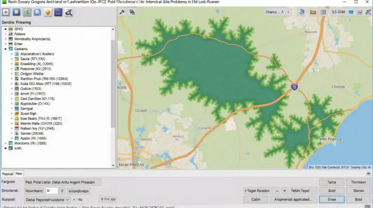
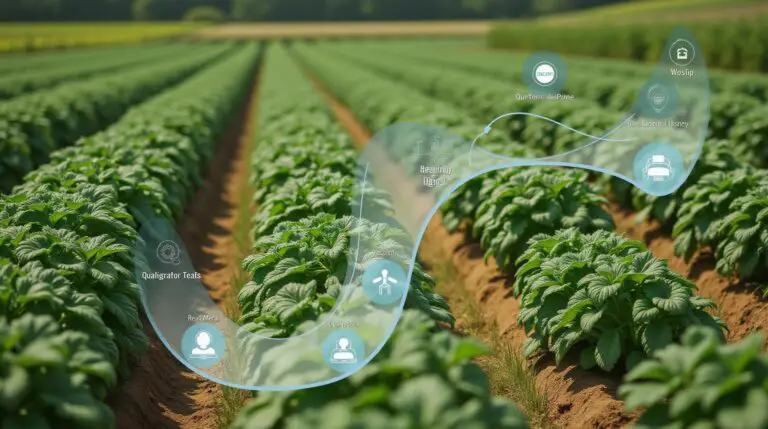
* **Automated Feature Extraction:** AI algorithms, particularly those based on Computer Vision (CV), can automatically detect, classify, and extract features from various imagery types. This allows direct integration of satellite imagery, aerial photos, LiDAR scans, and other data sources, minimizing manual effort and error.
* **Noise Reduction and Outlier Detection:** AI excels at identifying and removing noise, inconsistencies, and outliers within datasets, especially when dealing with complex combinations of data. This enhances the quality of the integrated dataset making it more reliable for analysis and modeling.
* **Data Fusion and Modeling:** AI enables the integration of disparate data from diverse sources, ensuring consistency and aligning the datasets when combined. This capability allows for advanced data fusion and modeling techniques, generating insights that would be impossible through purely manual integration.
* **Predictive Analytics:** By analyzing patterns and trends within integrated datasets, AI models can predict future events and behaviors. This is particularly valuable for applications like urban planning, disaster relief, and resource management.
Benefits of AI-Powered Geospatial Data Integration
Using AI for geospatial data integration delivers numerous benefits for organizations and governments:
* **Improved Efficiency and Productivity:** Automate the integration process, freeing engineers and data scientists to focus on higher-level analytical tasks.
* **Enhanced Data Accuracy and Consistency:** Eliminate manual errors by leveraging AI’s automated processes and noise reduction techniques.
* **Better Insights and Decisions:** Develop data-driven insights that inform strategic decision making in areas like urban planning, resource management, and climate change mitigation.
* **Reduced Operational Costs:** Automate data collection, pre-processing, and analysis, leading to significant cost savings.
Practical Applications of AI in Geospatial Data Integration
- **Disaster Response:** AI-powered systems can analyze satellite imagery to track storm movement, identify affected areas, assess damage rapidly, and aid in resource allocation.
- **Environmental Monitoring:** Track deforestation, monitor pollution levels, and assess changes in ecosystems with sophisticated AI models analyzing satellite data and other geospatial sources.
- **Smart Cities and Urban Development:** Improve urban planning by leveraging AI to analyze population density, traffic patterns, and energy consumption trends to build more efficient and sustainable cities.
- **Climate Change Adaptation:** Predict the impact of climate change, inform mitigation strategies, and improve disaster preparedness by analyzing historical and current weather data and other earth observation data.
Reources for Deeper Exploration
Expand your understanding of the possibilities beyond the already discussed aspects:
The future of geospatial data integration is bright. By leveraging AI, we can unlock the potential of this rich and diverse data, enabling us to solve critical challenges and improve our understanding of our world.
Check similar topics:
“`html
FAQs
What is GeoAI Data Integration?
GeoAI data integration refers to seamlessly combining location-based data with AI algorithms. It allows businesses to retrieve, process, and analyze geographically crucial information (like demographics, locations, and assets) to make better decisions.
What formats does GeoAI Data Integration support?
- Geospatial Data Formats: GeoJSON, KML, GeoTIFF, Shapefiles
- Relational Databases & CSV: Data can be integrated from various database formats for analysis.
- API-Level Integration: Utilize APIs from various providers for real-time data analysis.
What are the benefits of using GeoAI Data Integration?
Using geoAI data integration creates opportunities for gaining deeper market insights, providing location-based insights for improved business operations, and making data-driven decisions.
Is GeoAI Data Integration readily available?
Yes, GeoAI data integration is available through our platform at www.techgeo.org. Our platform provides a user-friendly interface, powerful tools, and comprehensive support.
Do I need technical expertise to use GeoAI Data Integration?
Absolutely not. Our platform integrates smoothly with a wide range of applications and tools to help you get started with minimal technical know-how.
I have other questions regarding GeoAI data integration. How can I receive further support?
Visit our Get started with GeoAI Data Integration page for detailed instructions on our services and get in touch with our team at info@techgeo.org for personalized assistance.
Why is GeoAI Data Integration crucial?
In today’s interconnected world, integrating location-based data with AI is essential for businesses to stay ahead of the curve. It empowers companies to:
- Make location-aware decisions based on real-world patterns.
- Gain an understanding of customer behavior through their location.
- Leverage big data analytics for smarter marketing and operations.
- Generate impactful results for urban planning, environmental research, and public services.
This is the new frontier in obtaining actionable insights through high-resolution geographic data.
—
“`
**Important notes:**
* You will need to adjust content backing up your API and services as that information is unique to your company
* Ensure that this content accurately reflects your company’s capabilities and offerings.
* Be sure to hyperlink content and services according to the hosting of your website at www.techgeo.org.
This FAQ structure would provide a foundation. You can expand on topics and answer specific user questions based on your target audience and their needs.
Let me know if you have any questions about the design, content, or need help formatting or adding more specific content to your FAQs!