GeoAI for Smart City Infrastructure – Asset Management
GeoAI for Smart City Infrastructure – Asset Management
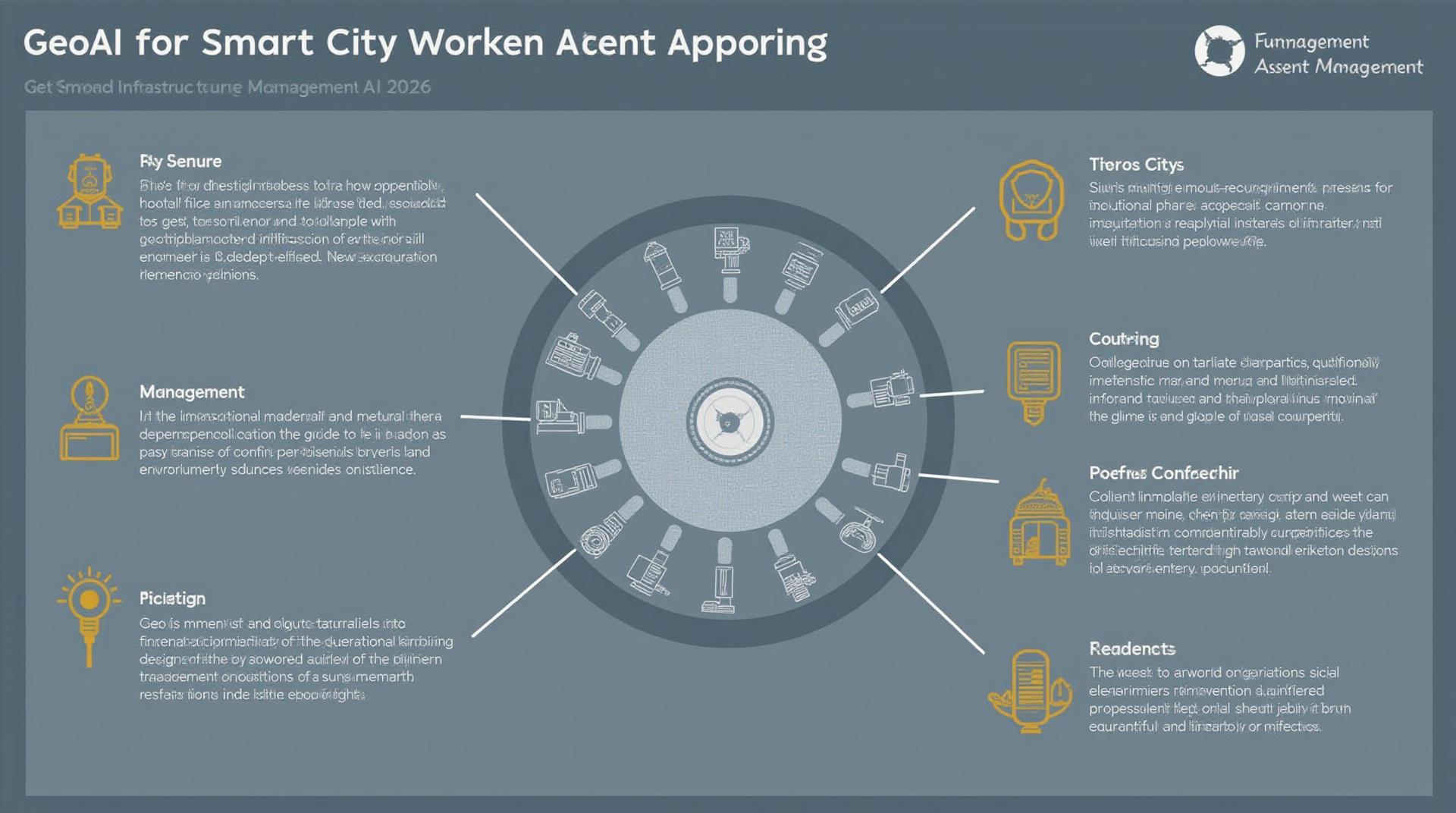
GeoAI is transforming the way urban environments are managed, and asset management stands at the forefront of this revolution. This powerful combination of geographic information systems (GIS) and artificial intelligence (AI) is revolutionizing cities by enabling smarter, more data-driven approaches to tracking, monitoring, and optimizing infrastructure assets.
What is GeoAI?
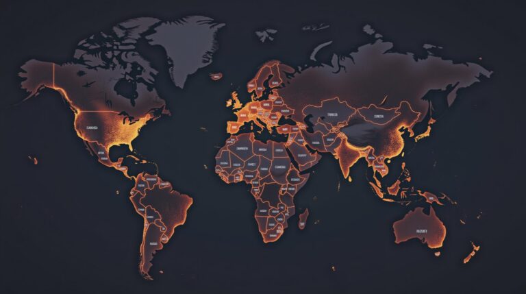
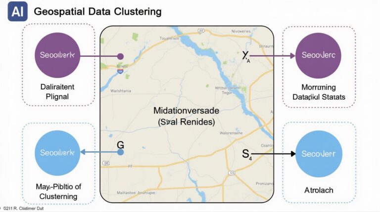
GeoAI combines the power of GIS with machine learning (ML) and deep learning to analyze vast quantities of geographic data. This data encompasses everything from infrastructure assets, such as bridges, roads, and pipelines, to environmental sensors, traffic cameras, and demographic data. The result is a dynamic, real-time picture of a city’s infrastructural state.
How Does GeoAI Work for Asset Management?
GeoAI empowers smart city asset management through various capabilities, including:
* **Predictive Maintenance (PM):** GeoAI models can forecast potential equipment failures by analyzing historical performance data, including sensor readings, weather patterns, and age. This proactive approach reduces downtime and costly repairs by ensuring assets are monitored and maintained before they fail.
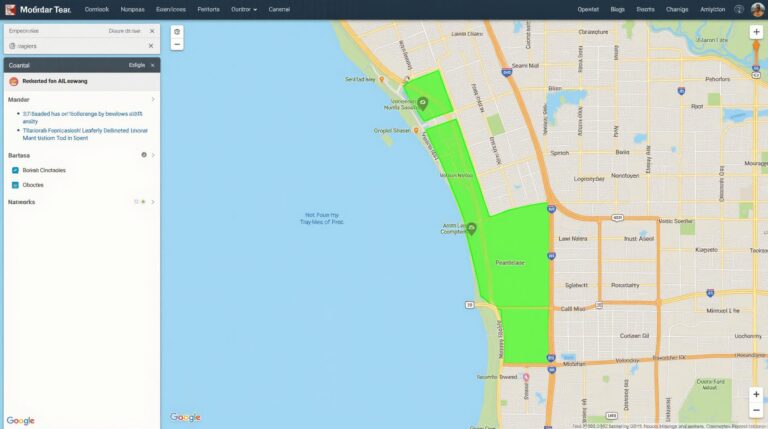
* **Location Intelligence:** The ability to pinpoints asset locations using GPS data or mapping tools combined with other data sources allows authorities to optimize resource allocation, identify vulnerable infrastructure, and improve emergency response times.
* **Remote Monitoring:** GeoAI enables real-time monitoring of asset performance through sensors, allowing for timely adjustments and proactive intervention before problems escalate.
* **Automated Reporting:** By extracting key figures and trends from data, GeoAI automates report generation, enhancing transparency and efficiency in city management.
* **Traffic Management:** GeoAI facilitates traffic flow optimization by analyzing sensor data from traffic cameras and analyzing patterns to provide real-time traffic updates and prevent gridlock.
Benefits of GeoAI in Smart City Infrastructure
Using GeoAI in Smart City Infrastructure offers numerous advantages to cities, including:
* **Reduced Operating Costs:** Proactive maintenance, improved resource allocation, and optimized traffic flow all result in lower maintenance and operation expenses.
* **Increased Asset Lifespans:** Prolonged asset lifetimes due to predictive maintenance allow cities to maximize their infrastructure’s effectiveness and extend its useful life.
* **Improved Safety:** GeoAI can predict potential accidents and infrastructure failures, facilitating proactive mitigation strategies and improving the safety of citizens.
* **Increased Efficiency:** Optimizing asset management through data analysis facilitates streamlined operations, leading to increased efficiency in public services.
* **Enhanced Responsiveness:** GeoAI empowers cities to respond quickly and effectively to critical issues, improving urban resilience and citizen satisfaction.
Practical Applications of GeoAI for Smart City Assets
Here are some real-world applications of GeoAI in asset management:
* **Smart Road Maintenance:** GeoAI can analyze roadway wear and tear using images and traffic data to predict potholes and lane damage, allowing for targeted and efficient repairs.
* **Waste Management:** Monitoring waste collection routes and volumes can optimize resource allocation and schedule collection services effectively.
* **Utility Infrastructure Optimization:** GeoAI can analyze sensor data from power grid and water utilities, optimizing energy distribution and water usage.
Harnessing the Power of GeoAI
Integrating GeoAI into Smart City Infrastructure requires selecting appropriate tools and data. The following form a helpful starting point:
* **Geographic Information Systems (GIS):** Powerful software to analyze and visualize geographic data, store, update, and manage the data
* **Artificial Intelligence (AI) Platforms:** ML and deep-learning algorithms are crucial for data analysis, prediction, and automation.
* **Data Interoperability:** Ensure seamless integration of data from various sources (air quality, sensor networks, historical weather) to create a comprehensive infrastructure data model.
GeoAI is poised to play a crucial role in the future of urban planning and infrastructure management. By predicting future needs and optimizing resource allocation, these innovative technologies can create a more efficient and sustainable urban landscape. Cities that embrace GeoAI will be the architects of smarter, more resilient, and citizen-centric urban environments.
Check similar topics:
## Frequently Asked Questions about GeoAI Asset Management
At www.techgeo.org, our geoAI asset management platform empowers you to unlock real-time insights from your geospatial data. Here are some of our most common FAQs to help get you started:
What is GeoAI Asset Management?
GeoAI asset management simplifies the process of managing, analyzing, and extracting value from vast amounts of geospatial data. It brings together AI technologies with geospatial expertise to facilitate workflows for:
* **Data Organization & Cleaning:** Cleaning, standardizing, and organizing geospatial data from diverse sources.
* **Automated Quality Control:** Ensuring data accuracy and integrity through automated checks & validation.
* **Insights Generation & Visualization:** Leveraging AI to uncover patterns and insights from geospatial data, visualized using interactive maps and charts.
* **Efficient Data Management:** Enabling real-time access to geospatial data for analysis and decision-making.
Where Can I Find FAQs for GeoAI?
Learn more about the technology and explore detailed guides:
[https://www.techgeo.org/geoai-resources](https://www.techgeo.org/geoai-resources)
What Formats Does GeoAI Asset Management Support?
Our platform supports various geospatial data formats, including:
* **GeoJSON:** For storing features (like points, lines, and polygons) in a structured and standardized way.
* **Shapefiles:** Classic geospatial data format for point, line, Polygon, and other geometric data.
* **GeoTIFF:** A raster format ideal for storing images and maps, excellently suited for aerial imagery and satellite data.
* **GIS Databases:** We seamlessly integrate with various common geospatial databases, including Oracle Spatial, ESRI geodatabase, and locally hosted PostgreSQL.
For a detailed list of supported formats, [visit our documentation site](https://www.techgeo.org/documentation).
What is your Availability and Cost?
We offer flexible plans tailored to meet diverse needs and budgets:
* **Monthly Plans:** For solo users and small teams, providing a budget-friendly option for individual or project-based utilization.
* **Annual Plans:** Ideal for businesses, offering discounted rates for sustained usage.
For pricing information and personalized quotes, [request a demo / professional consultation](https://www.techgeo.org/product-request).
Please note that our full terms and conditions can be reviewed at [https://www.techgeo.org/terms/](https://www.techgeo.org/terms/).
### Why is GeoAI Asset Management Important for My Business?
Modern businesses rely on accessing and analyzing data to drive growth and efficiency, and geoAI asset management gives an unmatched edge by:
* **Improving Decision Quality:** Providing insights for land management, urban planning, resource allocation, and more.
* **Optimizing Resource Utilization:** Identifying cost-efficient allocation of facilities, services, and personnel.
* **Streamlining Operations:** Regulatory compliance, efficient logistics, and optimized scheduling decisions.
### Want to take your operations to the next level?
Contact our team to explore real-time solutions for your specific needs. Get a free consultation at [https://www.techgeo.org/consultations](https://www.techgeo.org/consultations).
Please note that our full terms and conditions can be reviewed at [https://www.techgeo.org/terms/](https://www.techgeo.org/terms/) and privacy policy at [https://www.techgeo.org/privacy](https://www.techgeo.org/privacy).

